Anastasia in St. Augustine in St. Johns County, Florida — The American South (South Atlantic)
Rowboats
Photographed by Craig Doda, September 1, 2024
1. Rowboats Marker
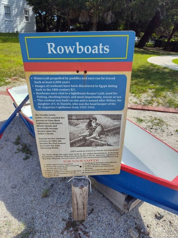
• Watercraft propelled by paddles and oars can be traced back at least 6,000 years.
• Images of rowboats have been discovered in Egypt dating back to the 18th century B.C.
• Rowboats were vital to a lighthouse keeper's job, used for Fishing, checking buoys, and most importantly, rescue at sea.
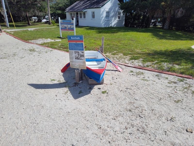
• This rowboat was built on-site and is named after Wilma, the daughter of C. D. Daniels, who was the head keeper of the St. Augustine Lighthouse from 1935-1943.
Ida Zoradia Lewis (1842-1911) assisted her parents at Lime Rock Lighthouse in Newport, Rhode Island, and eventually became Keeper upon her father's death.
Famous for her rowboat rescues, in 1881, Ida became the first woman to receive the Gold Lifesaving Medal.
(1876 woodcut artwork by Phoebe Ann Hanaford.)
Topics and series. This historical marker is listed in these topic lists: Waterways & Vessels • Women. In addition, it is included in the Lighthouses series list. A significant historical year for this entry is 1881.
Location. 29° 53.143′ N, 81° 17.3′ W. Marker is in St. Augustine, Florida, in St. Johns County. It is in Anastasia. It can be reached
this page online

Regionally, this marker is in First Coast and in Greater Jacksonville. It is also in the American South and on the Eastern Seaboard. Globally, it is in the North Atlantic Region, North America, a Gulf of Mexico state, the Western Hemisphere, the Western World, and the Anglosphere. Historically, it finds itself in what was once New Spain, the territory of the Mississippian Culture, one of the Confederate States of America, and the Antebellum South.
Other nearby markers. At least 8 other markers are within walking distance of this marker: World War II (here, next to this marker); WWII Era Anchor (here, next to this marker); Q: Why Were U.S. Coastguardsmen Stationed At The Lighthouse During WWII? (here, next to this marker); Q: What Are The Two Older Wooden White Buildings? (a few steps from this marker); The History of Boatbuilding (a few steps from this marker); a different
Photographed by Craig Doda, September 1, 2024
2. Rowboats Marker
Credits. This page was last revised on September 10, 2024. It was originally submitted on September 6, 2024, by Craig Doda of Napoleon, Ohio. This page has been viewed 110 times since then and 30 times this year. Photos: 1, 2. submitted on September 6, 2024, by Craig Doda of Napoleon, Ohio. • Devry Becker Jones was the editor who published this page.
