
Shockoe Bottom in Richmond, Virginia — The American South (Mid-Atlantic)
Capital Trees
⎯⎯⎯
The Low Line
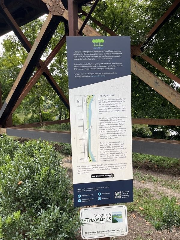
Our mission is to build urban greenscapes that enrich our community. Our vision is that thriving public landscapes are an integral part of the RVA community's expectations, public policy and practice.
To learn more about Capital Trees and to support its projects, including the Low Line, visit capitaltrees.org
The Low Line
A project of Capital Trees in collaboration with the City of Richmond and CSX, the Low Line forms a horticultural and recreational link between the downtown waterfront and the city's East End, via the western trailhead of the Virginia Capital Trail.
The 5.5-acre property, long left neglected was restored and landscaped as a riparian buffer for the James River and Chesapeake Bay watershed. The Low Line is comprised of the Low Line Gardens along the Virginia Capital Trail between Great Shiplock Park and 23rd Street and the
this page online
The Low Line features several historic sites: the first U.S. commercial canal begun in 1785 and completed years later, buildings and places important to the city's then flourishing tobacco industry, sites of significance in the era of the city's slave trade, Lincoln's arrival to Richmond in 1865, and the building of the CSX viaduct in 1901.
Both urban greenspaces are planted for year-round interest with a focus on native plants that strengthen the ecosystem and mitigate stormwater runoff. Capital Trees maintains the Low Line with the help of community volunteers and contributors.
Erected by Capital Trees.
Topics. This historical marker is listed in these topic lists: Horticulture & Forestry • Industry & Commerce • Parks & Recreational Areas • Railroads & Streetcars. A significant historical year for this entry is 1785.
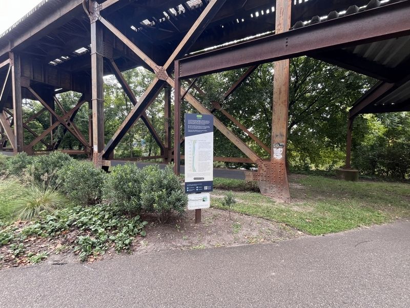
Location. 37° 31.748′ N, 77° 25.484′ W. Marker is in Richmond, Virginia. It is in Shockoe Bottom. It is on Dock Street just east of South 22nd Street, on the left when traveling west. Touch for map. Marker

Regionally, this marker is in Central Virginia. It is also in the American South and specifically in the Upper South. Globally, it is in North America, the Western Hemisphere, the Western World, and the Anglosphere. Historically, it finds itself in what was once the territory of the Mississippian Culture, one of the original Thirteen Colonies, one of the Confederate States of America, and the Antebellum South.
Other nearby markers. At least 8 other markers are within walking distance of this marker: Richmond Dock / Chapel Island (about 700 feet away); Libby Prison (approx. 0.2 miles away); Libby Prison CSA (approx. 0.2 miles away); a different marker also named Libby Prison (approx. 0.2 miles away); Tobacco Row (approx. 0.2 miles away); Early Quakers in Richmond (approx. 0.2 miles away); Franklin Street Burying Grounds (approx. 0.2 miles away); The Oldest House (approx. 0.2 miles away). Touch for a list and map of all markers in Richmond.
Other markers no longer nearby. City of Richmond Bicentennial (was about 600 feet away, measured in a direct line but has been permanently removed); To Honor (was about 600 feet away but has been permanently removed).
Related marker. Click here for another marker that is related to this marker. An identical marker stands elsewhere along the trail.
Credits. This page was last revised on September 9, 2024. It was originally submitted on September 9, 2024, by Devry Becker Jones of Washington, District of Columbia. This page has been viewed 155 times since then and 13 times this year. Photos: 1, 2. submitted on September 9, 2024, by Devry Becker Jones of Washington, District of Columbia.
