Sterling Heights in Macomb County, Michigan — The American Midwest (Great Lakes)
Holcombe Beach
Photographed by Melanie Davis, October 16, 2023
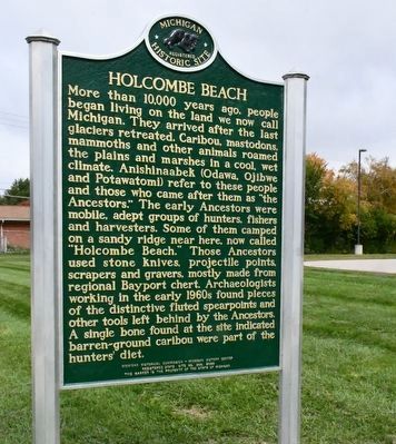
1. Holcombe Beach Marker Side 1
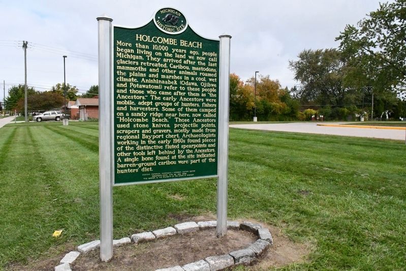
More than 10,000 years ago, people began living on the land we now call Michigan. They arrived after the last glaciers retreated. Caribou, mastodons, mammoths and other animals roamed the plains and marshes in a cool, wet climate. Anishinaabek (Odawa, Ojibwe and Potawatomi) refer to these people and those who came after them as "the Ancestors." The early Ancestors were mobile, adept groups of hunters, fishers and harvesters. Some of them camped on a sandy ridge near here, now called "Holcombe Beach." Those Ancestors used stone knives, projectile points, scrapers and gravers, mostly made from regional Bayport chert. Archaeologists working in the early 1960s found pieces of the distinctive fluted spearpoints and other tools left behind by the Ancestors. A single bone found at the site indicated barren-ground caribou were part of the hunters’ diet.
Archaeologists divide human history into general time periods that are based on major environmental, technological and cultural changes. They call the earliest period (more than 10,000 years before the present) Paleo-Indian. In 1960 avocational archaeologist Jerry DeVisscher
this page online
Erected 2022 by Michigan Historical Commission - Michigan History Center. (Marker Number S309.)
Topics. This historical marker is listed in these topic lists: Anthropology & Archaeology • Indigenous Peoples and Communities. A significant historical year for this entry is 1960.
Location. 42° 34.176′ N, 83° 0.614′ W. Marker is in Sterling Heights, Michigan, in Macomb County. It is on Dodge Park Road 0.2 miles north of Metropolitan Parkway (16 Mile Road), on the right when traveling north. Touch for map. Marker is at or near this postal

Photographed by Melanie Davis, October 16, 2023
2. Holcombe Beach Marker Side 2

Regionally, this marker is in Southeast Michigan and in Greater Detroit. It is also in the American Midwest. Globally, it is in North America, on the Great Lakes, in the Western Hemisphere, in the Western World, and in the Anglosphere. Historically, it finds itself in what was once the Northwest Territory.
Other nearby markers. At least 8 other markers are within 4 miles of this marker, measured as the crow flies: In Memory of Leroy H. Imus (approx. 0.2 miles away); Upton House (approx. 1½ miles away); Red Run (approx. 3.2 miles away); a different marker also named Red Run (approx. 3.2 miles away); Village/Eckstein Park (approx. 3.4 miles away); Murthum-Vander Vlucht House (approx. 3.4 miles away); Red Run Creek (approx. 3.4 miles away); The Claeys House (approx. 3.4 miles away). Touch for a list and map of all markers in Sterling Heights.
Another marker is no longer nearby. Holcombe Beach (was within shouting distance of this marker but has been replaced with another marker now near it).
Photographed by Melanie Davis, October 16, 2023
3. Holcombe Beach Marker
Photographed by Joel Seewald, June 23, 2024
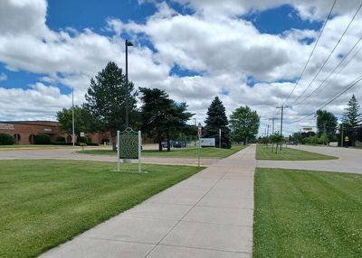
4. Holcombe Beach Marker
View looking toward the south along Dodge Park Road and where the old marker was (on the other side of the pine tree).
Photographed by Joel Seewald, June 23, 2024
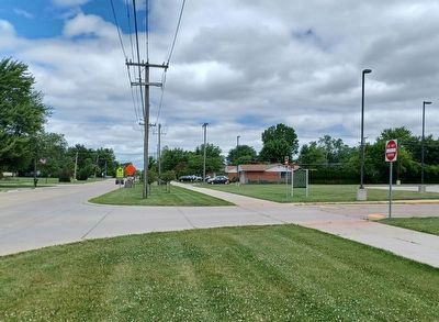
5. Holcombe Beach Marker
View looking north along Dodge Park Road.
Credits. This page was last revised on March 11, 2025. It was originally submitted on September 10, 2024, by Joel Seewald of Madison Heights, Michigan. This page has been viewed 653 times since then and 61 times this year. Photos: 1, 2, 3, 4, 5. submitted on September 10, 2024, by Joel Seewald of Madison Heights, Michigan.
