
The Loop District in Chicago in Cook County, Illinois — The American Midwest (Great Lakes)
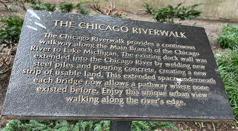
The Chicago Riverwalk
Photographed by Sean P. Flynn, September 10, 2024
1. The Chicago Riverwalk Marker
Topics. This historical marker is listed in these topic lists: Parks & Recreational Areas • Waterways & Vessels.
Location. 41° 53.268′ N, 87° 37.589′ W. Marker is in Chicago, Illinois, in Cook County. It is in The Loop District. It can be reached from Chicago Riverwalk east of North Wabash Avenue. The marker is on the Chicago Riverwalk, close to where it goes underneath the Wabash Avenue Bridge. Touch for map. Marker is in this post office area: Chicago IL 60601, United States of America. Touch for directions.

Regionally, this marker is in the American Midwest. Globally, it is in North America, on the Great Lakes, in the Western Hemisphere, in the Western World,
this page online
Other nearby markers. At least 8 other markers are within walking distance of this marker: Irv Kupcinet (within shouting distance of this marker); Heald Square Monument (within shouting distance of this marker); Mather Tower (within shouting distance of this marker); Trump International Hotel & Tower (about 300 feet away, measured in a direct line); Chicago Remembers (about 300 feet away); 35 East Wacker Drive Building (about 400 feet away); IBM Building (about 400 feet away); Bataan- Corregidor Memorial Bridge (about 400 feet away). Touch for a list and map of all markers in Chicago.
More about this marker. The marker is one of about a dozen with information about the Riverwalk, its environment and the industry and commerce related to it; only a handful pertain to history.
Regarding The Chicago Riverwalk. The Chicago Riverwalk, which as of 2024 goes about three miles along the south bank of the Chicago River from Lake Shore Drive to Lake Street,
Photographed by Sean P. Flynn, September 10, 2024
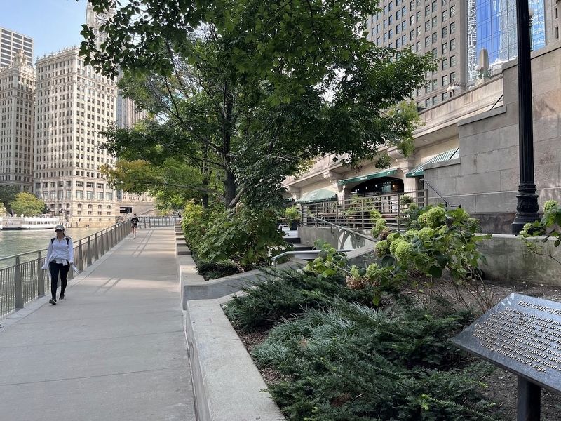
2. The Chicago Riverwalk Marker
The Wrigley Building can be seen in the background, across from the Chicago River.
For much of Chicago's early history, the Chicago River was known as the "stinking river," as the city's sewage poured into it en route to Lake Michigan. Pollution in the lake — the city's main water source — led to disease outbreaks, so the government spent more than a decade reversing the course of the river, south towards the Mississippi River, and sending sewage to a new Sanitary and Ship Canal. While this legendary engineering feat was completed in 1900, the dirty river remained a turnoff for many years, and although Daniel Burnham included a riverwalk as part of his 1909 Plan of Chicago, it wasn't until the 1970s that the city finally created a park on its waterfront, on a stretch from Lake Shore Drive to Michigan Avenue. Over the course of the 2000s, the park was expanded and improved all the way to the Lake Street bridge. Today it includes cafes, bars, restaurants, a tour boat launch and more.
Also see . . .
1. Chicago Riverwalk official site. (Submitted on September 13, 2024, by Sean P. Flynn of Oak Park, Illinois.)
2. The Chicago River was a toxic wasteland. Now it's an urban oasis.
Photographed by Sean P. Flynn, September 10, 2024
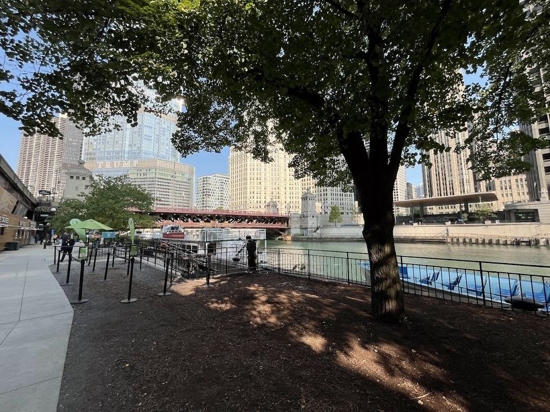
3. The Chicago Riverwalk
This photo, about a quarter-mile east of the marker, shows the Riverwalk nears the Michigan Avenue bridge.
3. Chicago Riverwalk: Site History. (Submitted on September 13, 2024, by Sean P. Flynn of Oak Park, Illinois.)
Credits. This page was last revised on September 13, 2024. It was originally submitted on September 13, 2024, by Sean P. Flynn of Oak Park, Illinois. This page has been viewed 266 times since then and 54 times this year. Photos: 1, 2, 3. submitted on September 13, 2024, by Sean P. Flynn of Oak Park, Illinois.
