Manns Harbor in Dare County, North Carolina — The American South (South Atlantic)
Dasemunkepeuc
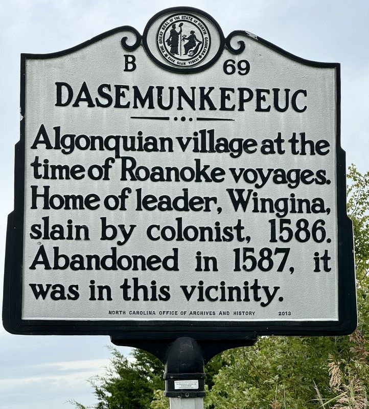
Photographed by Brandon D Cross
1. Dasemunkepeuc Marker
Erected 2013 by North Carolina Office of Archives and History. (Marker Number B-69.)
Topics. This memorial is listed in these topic lists: Colonial Era • Indigenous Peoples and Communities.
Location. 35° 52.259′ N, 75° 47.099′ W. Memorial is in Manns Harbor, North Carolina, in Dare County. It is at the intersection of U.S. 264 and U.S. 64, on the right when traveling north on U.S. 264. Touch for map. Memorial is in this post office area: Manns Harbor NC 27953, United States of America. Touch for directions.

Regionally, this memorial is in the Coastal Plain and on the Outer Banks. It is also in the American South, specifically in the Upper South, in the Tidewater, and on the Eastern Seaboard. Globally, it is in the North Atlantic Region, North America, the Western Hemisphere, the Western World, and the Anglosphere. Historically, it finds itself in what was once the territory of the Mississippian Culture,
this page online
Other nearby markers. At least 8 other markers are within 6 miles of this marker, measured as the crow flies: Fort Forrest (approx. 1.7 miles away); Purple Martin Bridge Roost (approx. 3 miles away); Fort Huger (approx. 5.2 miles away); Naval Battle of Roanoke Island (approx. 5.2 miles away); Fort Blanchard (approx. 5.3 miles away); R. A. Fessenden (approx. 5½ miles away); Waterman's Workhorse (approx. 5½ miles away); A Show Boat (approx. 5½ miles away). Touch for a list and map of all markers in Manns Harbor.
Other markers no longer nearby. Deliverance (was approx. 5.2 miles away but has been permanently removed); Bondage (was approx. 5.2 miles away but has been permanently removed); The Promised Land (was approx. 5.2 miles away but has been permanently removed).
Also see . . . Dasemunkepeuc. (Submitted on September 14, 2024, by Brandon D Cross of Flagler Beach, Florida.)
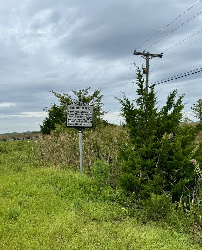
Photographed by Brandon D Cross
2. Dasemunkepeuc Marker
Credits. This page was last revised on September 15, 2024. It was originally submitted on September 14, 2024, by Brandon D Cross of Flagler Beach, Florida. This page has been viewed 326 times since then and 59 times this year. Photos: 1, 2. submitted on September 14, 2024, by Brandon D Cross of Flagler Beach, Florida. • Bernard Fisher was the editor who published this page.
