Sherman in Grayson County, Texas — The American South (West South Central)
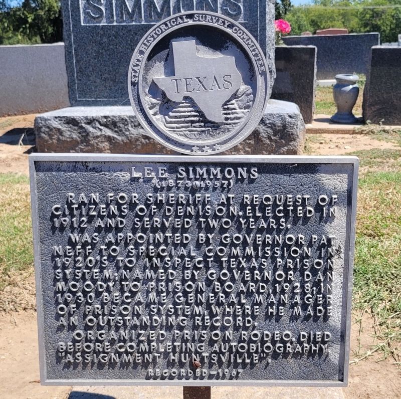
Lee Simmons
1873-1957
Photographed by James Hulse, September 10, 2024
1. Lee Simmons Marker
Erected 1967 by State Historical Survey Committee. (Marker Number 11540.)
Topics. This historical marker is listed in these topic lists: Cemeteries & Burial Sites • Law Enforcement. A significant historical year for this entry is 1912.
Location. 33° 37.835′ N, 96° 37.073′ W. Marker is in Sherman, Texas, in Grayson County. It is at the intersection of West Lamar Street and South Woods Street on West Lamar Street. The marker is located in the southeast section of the West Hill Cemetery. Touch for map. Marker is at or near this postal address: 1304 W Lamar Street, Sherman TX 75092, United States of America. Touch for directions.

Regionally, this marker is in the Prairies & Lakes Region.
this page online
Other nearby markers. At least 8 other markers are within walking distance of this marker: The Rev. J.M. Binkley (within shouting distance of this marker); Judge C.C. Binkley (within shouting distance of this marker); Jesse P. Loving (about 500 feet away, measured in a direct line); Mita Holsapple Hall (about 500 feet away); Capt. John Henry LeTellier (about 600 feet away); Olive Ann Oatman Fairchild (about 700 feet away); The Rev. John Silliman Moore (approx. 0.2 miles away); Andrew L. Randell (approx. 0.2 miles away). Touch for a list and map of all markers in Sherman.
Photographed by James Hulse, September 10, 2024
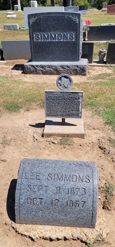
2. The Lee Simmons Gravestone and Marker
Photographed by James Hulse, September 10, 2024
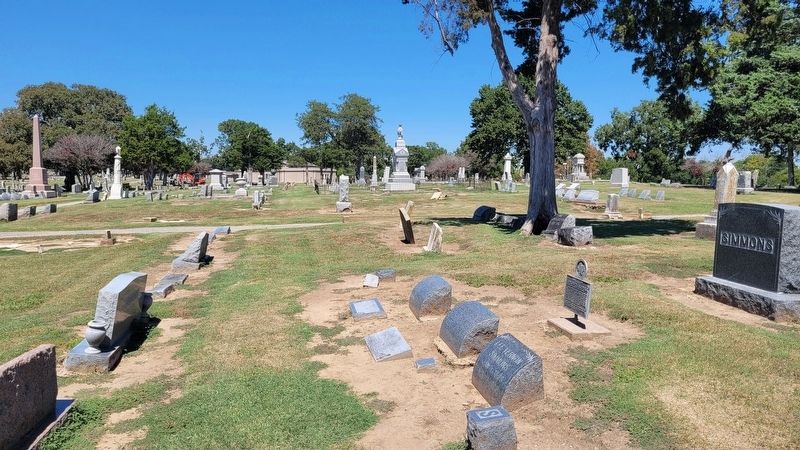
3. The view of the Lee Simmons Marker in the cemetery
Photographed by Gary Estep, March 8, 2026
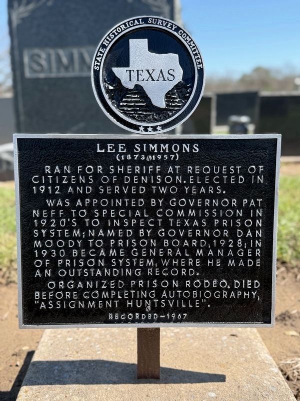
4. Lee Simmons Marker
Credits. This page was last revised on March 8, 2026. It was originally submitted on September 15, 2024, by James Hulse of Medina, Texas. This page has been viewed 297 times since then and 54 times this year. Photos: 1, 2, 3. submitted on September 15, 2024, by James Hulse of Medina, Texas. 4. submitted on March 8, 2026, by Gary Estep of Anna, Texas.
