Downtown West in Minneapolis in Hennepin County, Minnesota — The American Midwest (Upper Plains)
Transportation on Washington Avenue
| — | Washington Avenue | — |
Photographed by McGhiever, May 12, 2024
1. Transportation on Washington Avenue Marker
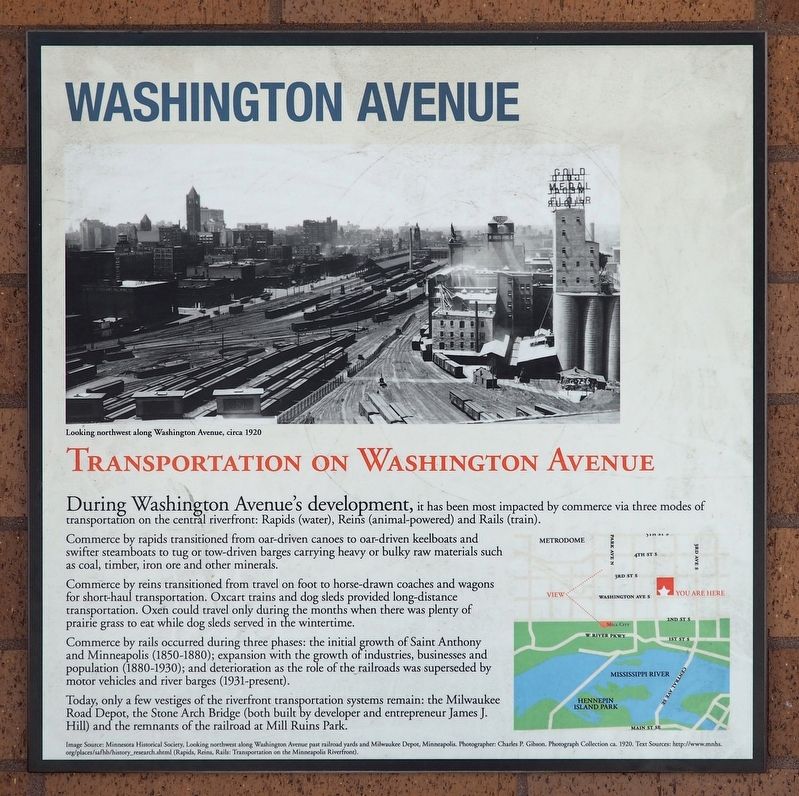
[Caption:] Looking northwest along Washington Avenue, circa 1920
During Washington Avenue's development, it has been most impacted by commerce via three modes of transportation on the central riverfront: Rapids (water), Reins (animal-powered) and Rails (train).
Commerce by rapids transitioned from oar-driven canoes to oar-driven keelboats and swifter steamboats to tug or tow-driven barges carrying heavy or bulky raw materials such as coal, timber, iron ore and other minerals.
Commerce by reins transitioned from travel on foot to horse-drawn coaches and wagons for short-haul transportation. Oxcart trains and dog sleds provided long-distance transportation. Oxen could travel only during the months when there was plenty of prairie grass to eat while dog sleds served in the wintertime.
Commerce by rails occurred during three phases: the initial growth of Saint Anthony and Minneapolis (1850-1880); expansion with the growth of industries, businesses and population (1880-1930); and deterioration as the role of the railroads was superseded by motor vehicles and river barges (1931-present).
Today, only a few vestiges
this page online
Image Source: Minnesota Historical Society, Looking northwest along Washington Avenue past railroad yards and Milwaukee Depot, Minneapolis. Photographer: Charles P. Gibson. Photograph Collection ca. 1920. Text Sources: http://www.mnhs.org/places/safhb/history_research.shtml (Rapids, Reins, Rails: Transportation on the Minneapolis Riverfront).
Topics and series. This historical marker is listed in these topic lists: Industry & Commerce • Railroads & Streetcars • Roads & Vehicles • Waterways & Vessels. In addition, it is included in the Chicago, Milwaukee, St. Paul and Pacific Railroad series list.
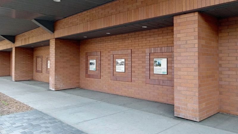
Location. 44° 58.742′ N, 93° 15.73′ W. Marker is in Minneapolis, Minnesota, in Hennepin County. It is in Downtown West. It is on Washington Avenue S. east of 4th Avenue S., on the right when traveling east. The marker is in an alcove on the north side of the Gateway Parking
Photographed by McGhiever, May 20, 2024
2. Transportation on Washington Avenue Marker (left) on the north side of the Gateway Parking Ramp

Regionally, this marker is in the Twin Cities Metropolitan Area. It is also in the American Midwest, in the Corn Belt, and in the Great River Road Region. Globally, it is in North America, the Western Hemisphere, the Western World, and the Anglosphere. Historically, it finds itself in what was once Rupert’s Land, the territory of the Mississippian Culture, and the Louisiana Purchase.
Other nearby markers. At least 8 other markers are within walking distance of this marker: The Decline of Washington Avenue (here, next to this marker); Industry's Impact on Washington Avenue (here, next to this marker); The Genesis of Washington Avenue (here, next to this marker); The Resurrection of Washington Avenue (here, next to this marker); Changing Times (about 500 feet away, measured in a direct line); Welcome to the Rail Maze (about 500 feet away); Trains Can't Swim (about 700 feet away); Barrels / Bags / Bust / and Beyond (about 700 feet away). Touch for a list and map of all markers in Minneapolis.
Credits. This page was last revised on September 22, 2024. It was originally submitted on September 22, 2024, by McGhiever of Minneapolis, Minnesota. This page has been viewed 114 times since then and 15 times this year. Photos: 1. submitted on September 22, 2024, by McGhiever of Minneapolis, Minnesota. 2. submitted on June 16, 2024, by McGhiever of Minneapolis, Minnesota.
