Lexington, Virginia — The American South (Mid-Atlantic)
Three bridges and a railroad trestle
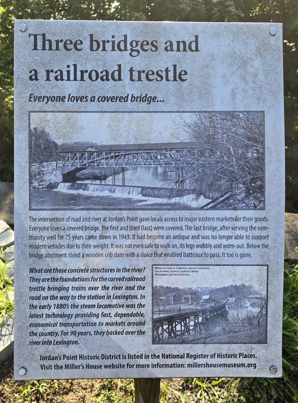
Everyone loves a covered bridge...
Photographed by Bradley Owen, August 12, 2024
1. Three bridges and a railroad trestle Marker
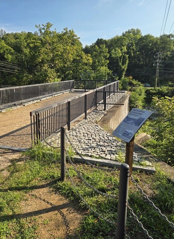
The intersection of road and river at Jordan's Point gave locals access to major eastern markets for their goods. Everyone loves a covered bridge, the first and third (last) were covered. The last bridge, after serving the community well for 75 years came down in 1943. It had become an antique and was no longer able to support modern vehicles due to their weight. It was not even safe to walk on, its legs wobbly and worn-out. Below the bridge abutment stood a wooden crib dam with a sluice that enabled batteaux to pass. It too is gone.
What are those concrete structures in the river? They are the foundations for the curved railroad trestle bringing trains over the river and the road on the way to the station in Lexington. In the early 1880's the steam locomotive was the latest technology providing fast, dependable, economical transportation to markets around the country. For 90 years, they backed over the river into Lexington.
[Caption]:
William D. Hoyt, Jr. Collection, Special Collections and Archives, James G. Leyburn Library, Washington and Lee University.
Visit the Miller's House website for more information:
millershousemuseum.org
Erected 2017
this page online
Topics. This historical marker is listed in these topic lists: Bridges & Viaducts • Railroads & Streetcars • Roads & Vehicles. A significant historical year for this entry is 1943.
Location. 37° 47.582′ N, 79° 25.727′ W. Marker is in Lexington, Virginia. It is on Moses Mill Road north of Jordan Point Road, on the right when traveling north. Marker is located in Jordan's Point Park. Touch for map. Marker is at or near this postal address: 834 Moses Mill Road, Lexington VA 24450, United States of America. Touch for directions.

Regionally, this marker is in Virginia’s Shenandoah Valley. It is also in the American South and specifically in the Upper South. Globally, it is in North America, the Western Hemisphere, the Western World, and the Anglosphere. Historically, it finds itself in what was once the territory of the Mississippian Culture, one of the original Thirteen Colonies, one of the Confederate States of America, and the Antebellum South.
Other nearby markers. At least 8 other markers are within walking distance of this marker: First it was cotton, then it was barrels, then it was grain...
Photographed by Bradley Owen, August 12, 2024
2. Three bridges and a railroad trestle Marker
Another marker is no longer nearby. Jordan’s Point (was about 300 feet away but has been replaced with another marker now near it).
Regarding Three bridges and a railroad trestle. The website listed on this marker is incorrect. The website should be:
millershousemuseum.com
Credits. This page was last revised on September 29, 2024. It was originally submitted on September 23, 2024, by Bradley Owen of Morgantown, West Virginia. This page has been viewed 189 times since then and 27 times this year. Photos: 1, 2. submitted on September 23, 2024, by Bradley Owen of Morgantown, West Virginia.
