Lexington, Virginia — The American South (Mid-Atlantic)
Batteaux, Freight Boats, Packet Boats, Wagons, Horses & Mules
Photographed by Bradley Owen, August 12, 2024
1. Batteaux, Freight Boats, Packet Boats, Wagons, Horses & Mules Marker
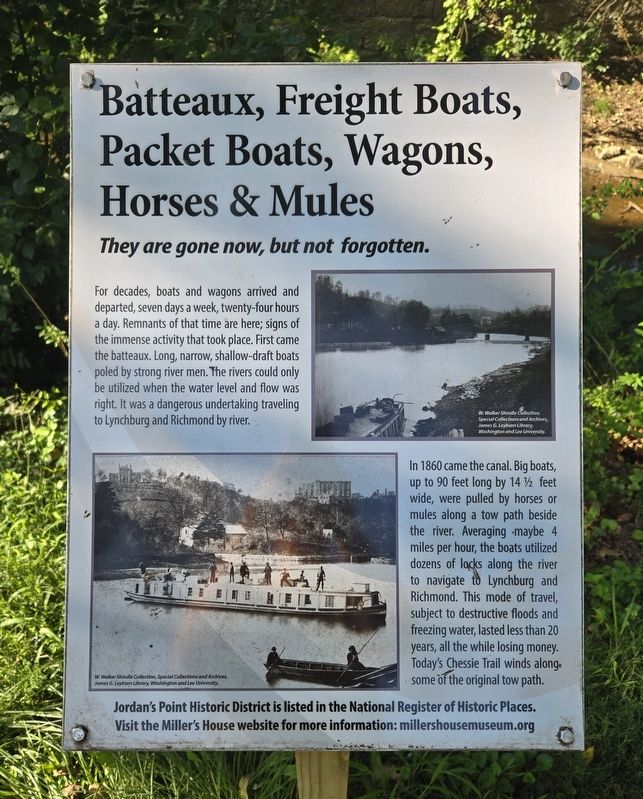
For decades, boats and wagons arrived and departed, seven days a week, twenty-four hours a day. Remnants of that time are here; signs of the immense activity that took place. First came the batteaux. Long, narrow, shallow-draft boats poled by strong river men. The rivers could only be utilized when the water level and flow was right. It was a dangerous undertaking traveling to Lynchburg and Richmond by river.
In 1860 came the canal. Big boats, up to 90 feet long by 14 1/2 feet wide, were pulled by horses or mules along a tow path beside the river. Averaging maybe 4 miles per hour, the boats utilized dozens of locks along the river to navigate to Lynchburg and Richmond. This mode of travel, subject to destructive floods and freezing water, lasted less than 20 years, all the while losing money. Today's Chessie Trail winds along some of the original tow path.
(Captions):
W. Walker Shindle Collection, Special Collections and Archives, James G. Leyburn Library, Washington and Lee University.
W. Walker Shindle Collection, Special Collections and Archives, James G. Leyburn Library, Washington and Lee University.
Visit the Miller's House website for more information: millershousemuseum.org
Erected 2017
this page online
Topics. This historical marker is listed in these topic lists: Animals • Waterways & Vessels. A significant historical year for this entry is 1860.
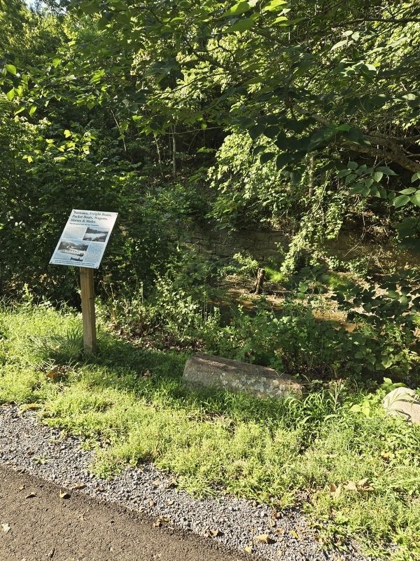
Location. 37° 47.533′ N, 79° 25.69′ W. Marker is in Lexington, Virginia. It can be reached from Moses Mill Road north of Jordan Point Road, on the right when traveling north. Marker is located in Jordan's Point Park. Touch for map. Marker is at or near this postal address: 834 Moses Mill Road, Lexington VA 24450, United States of America. Touch for directions.

Regionally, this marker is in Virginia’s Shenandoah Valley. It is also in the American South and specifically in the Upper South. Globally, it is in North America, the Western Hemisphere, the Western World, and the Anglosphere. Historically, it finds itself in what was once the territory of the Mississippian Culture, one of the original Thirteen Colonies, one of the Confederate States of America, and the Antebellum South.
Other nearby markers. At least 8 other markers are within walking distance of this marker: What is a Gauge Dock? (a few steps from this marker); This is John Jordan's point. After all, he started it.
Photographed by Bradley Owen, August 12, 2024
2. Batteaux, Freight Boats, Packet Boats, Wagons, Horses & Mules Marker
Regarding Batteaux, Freight Boats, Packet Boats, Wagons, Horses & Mules. The website listed on this marker is incorrect. The website should be:
millershousemuseum.com
Credits. This page was last revised on September 29, 2024. It was originally submitted on September 25, 2024, by Bradley Owen of Morgantown, West Virginia. This page has been viewed 166 times since then and 14 times this year. Photos: 1, 2. submitted on September 25, 2024, by Bradley Owen of Morgantown, West Virginia.
