Mississauga in Peel Region, Ontario — Central Canada (North America)
On This Ground
Photographed by Tim Boyd, September 14, 2024
1. On This Ground Marker
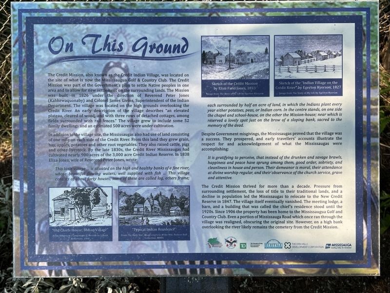
In addition to the village site, the Mississaugas also had use of land consisting of one mile on each side of the Credit River. From this land they grew grain, hay, apples, potatoes and other root vegetables. They also raised cattle, pigs and other livestock. By the late 1830s, the Credit River Mississaugas had cultivated nearly 900 acres of
this page online
This little village ... is situated on the high and healthy banks of a fine river, whose beautiful flowing waters, well supplied with fish ... This village consists of about forty houses; some of these are called log, others frame; each surrounded by half an acre of land, in which the Indians plant every year either potatoes, peas, or Indian corn. In the centre stands, on one side the chapel and school-house, on the other the Mission-house; near which is reserved a lovely spot just on the brow of a sloping bank, sacred to the memory of the dead.
Despite Government misgivings, the Mississaugas proved that the village was a success. They prospered, and early travellers' accounts illustrate the respect for and acknowledgement of what the Mississaugas were accomplishing:
It is gratifying to perceive, that instead of the drunken and savage brawls, happiness and peace have sprung among them, good order, sobriety, and cleanliness in house and person. Their demeanor is moral, their attendance at divine worship regular, and their observance of the church service, grave and attentive.
The
Photographed by Tim Boyd, September 14, 2024
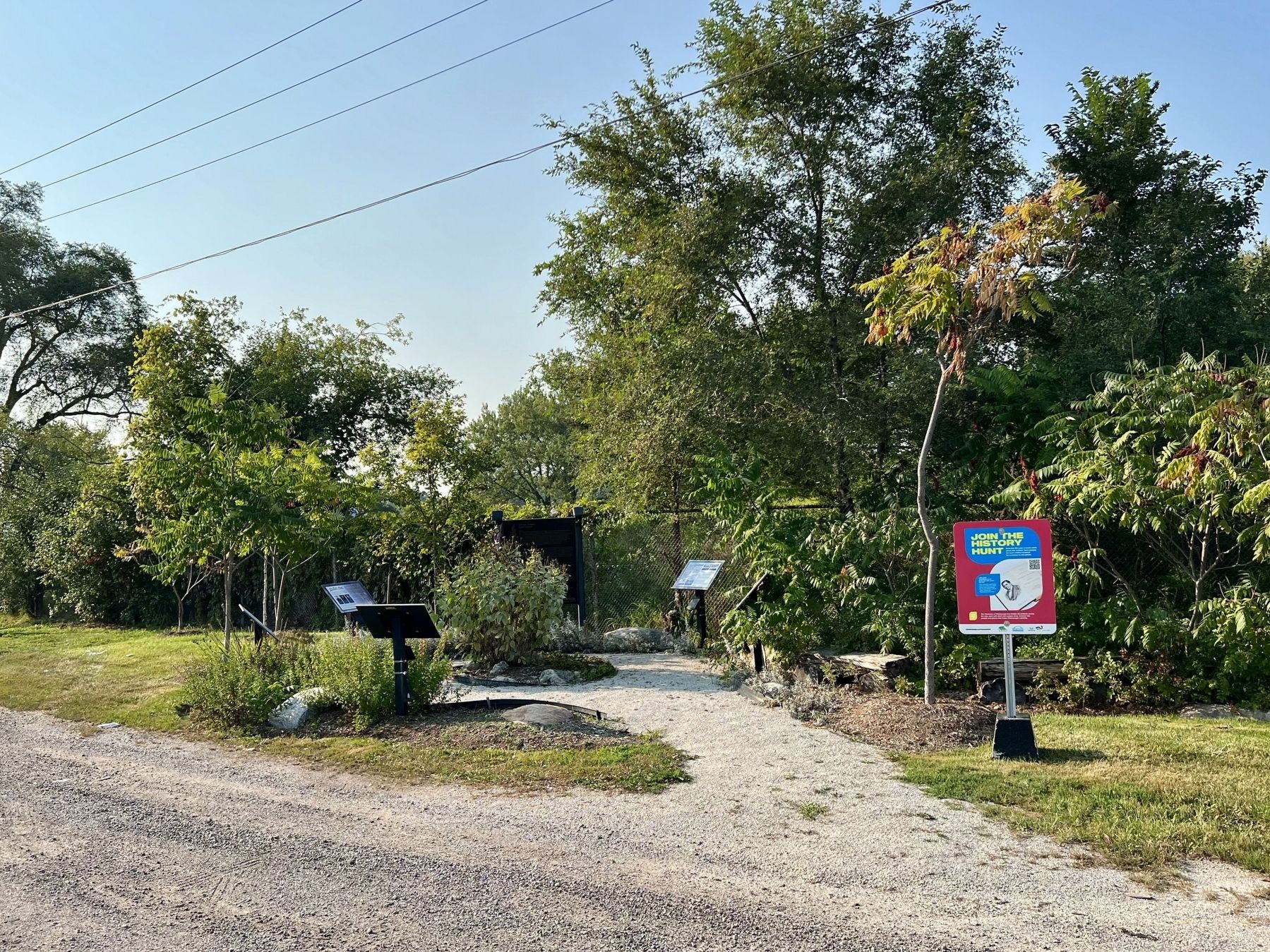
2. On This Ground Marker (centre of photo)
Topics. This historical marker is listed in these topic lists: Agriculture • Indigenous Peoples and Communities • Settlements & Settlers. A significant historical year for this entry is 1826.
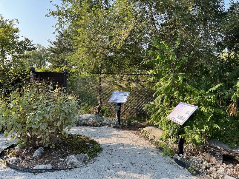
Location. 43° 32.891′ N, 79° 37.453′ W. Marker is in Mississauga, Ontario, in Peel Region. It is on Mississauga Road 0.4 kilometers north of North Sheridan Way, on the right when traveling south. Touch for map. Marker is at or near this postal address: 1864 Mississauga Road, Mississauga
Photographed by Tim Boyd, September 14, 2024
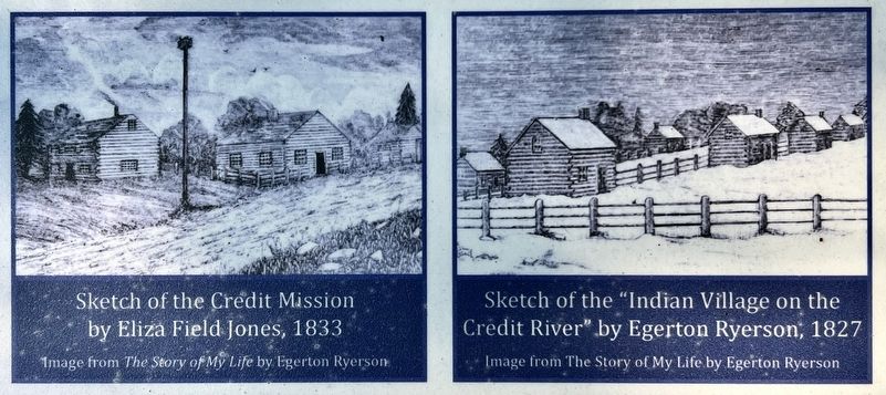
3. On This Ground marker photos detail

Regionally, this marker is in Greater Toronto, specifically on the Golden Horseshoe, and in the Toronto Metropolitan Area. It is also in Central Canada. Globally, it is in North America, on the Great Lakes, in the Western Hemisphere, in the Western World, and in the Anglosphere. Historically, it finds itself in what was once a British colony, the Viceroyalty of New France, the Haudenosaunee (Iroquois) Confederacy, and Rupert’s Land.
Other nearby markers. At least 8 other markers are within 3 kilometers of this marker, measured as the crow flies: Voices of Our Ancestors (here, next to this marker); Chi-twaa Tigaanes/ Sacred Garden (here, next to this marker); Who We Are (here, next to this marker); We Were Here (here, next to this marker); Benares Historic House (approx. 2.6 kilometers away); Mazo de la Roche (approx. 2.6 kilometers away); Memorial Park (approx. 2.9 kilometers away); The Rev. James Magrath at St. Peter’s (approx. 2.9 kilometers away). Touch for a list and map of all markers in Mississauga.
Photographed by Tim Boyd, September 14, 2024
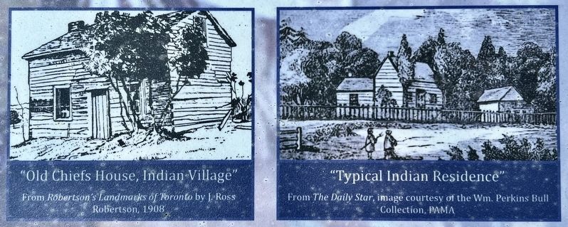
4. On This Ground marker photos detail

5. Plan of the Indian Reserve River Credit, Canada 1849
After the Mississauga had moved to the New Credit Reserve in 1847
Source: Heritage Mississauga
Photographed by Tim Boyd, September 14, 2024
6. Chi-twaa Tigaanes (Sacred Gardens)
Credits. This page was last revised on September 30, 2024. It was originally submitted on September 28, 2024, by Tim Boyd of Hamilton, Ontario. This page has been viewed 162 times since then and 32 times this year. Photos: 1, 2, 3, 4, 5, 6. submitted on September 28, 2024, by Tim Boyd of Hamilton, Ontario. • Andrew Ruppenstein was the editor who published this page.
