Dyea in Skagway in Skagway Borough, Alaska — Northwest (North America)
Gateway to the Interior
Photographed by William Fischer, Jr., August 24, 2024
1. Gateway to the Interior Marker
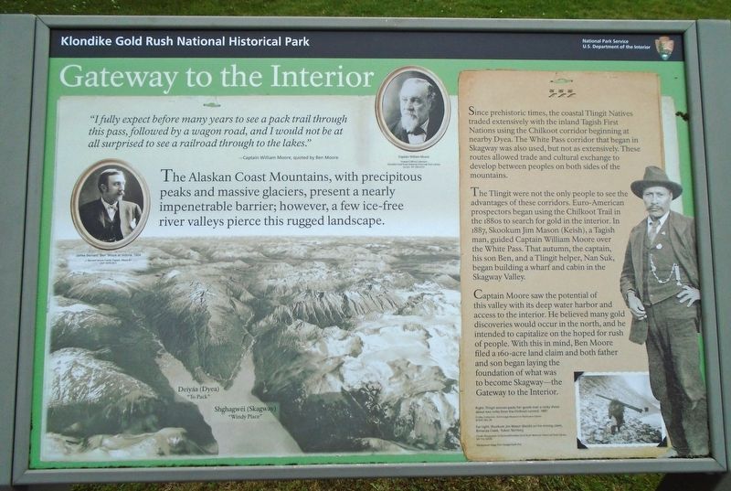
"I fully expect before many years to see a pack trail through this pass, followed by a wagon road, and I would not be at all surprised to see a railroad through to the lakes."
—Captain William Moore, quoted by Ben Moore
The Alaskan Coast Mountains, with precipitous peaks and massive glaciers, present a nearly impenetrable barrier; however, a few ice-free river valleys pierce this rugged landscape.
Since prehistoric times, the coastal Tlingit Natives traded extensively with the inland Tagish First Nations using the Chilkoot corridor beginning at nearby Dyea. The White Pass corridor that began in Skagway was also used, but not as extensively. These routes allowed trade and cultural exchange to develop between peoples on both sides of the mountains.
The Tlingit were not the only people to see the advantages of these corridors. Euro-American prospectors began using the Chilkoot Trail in the 1880s to search for gold in the interior. In 1887, Skookum Jim Mason (Keish), a Tagish man, guided Captain William Moore over the White Pass. That autumn, the captain, his son Ben, and a Tlingit helper, Nan Suk, began building
this page online
Captain Moore saw the potential of this valley with its deep water harbor and access to the interior. He believed many gold discoveries would occur in the north, and he intended to capitalize on the hoped for rush of people. With this in mind, Ben Moore filed a 160-acre land claim and both father and son began laying the foundation of what was to become Skagway-the Gateway to the Interior.
[Photo captions, clockwise from left, read]
• [Portrait of] James Bernard "Ben" Moore at Victoria, 1904
• [Portrait of] Captain William Moore
• Far right: Skookum Jim Mason (Keish) on his mining claim, Bonanza Creek, Yukon Territory
• Right: Tlingit woman packs her goods over a rocky shore about two miles from the Chilkoot summit, 1897
• [Background image shows locations of] Deiyáa (Dyea) "To Pack" [and] Shghagwéi (Skagway) "Windy Place"
Erected by National Park Service.
Topics. This historical marker is listed in these topic lists: Environment • Indigenous Peoples and Communities • Industry & Commerce • Settlements & Settlers. A significant historical year for this entry is 1887.
Location. 59° 26.951′ N,
Photographed by William Fischer, Jr., August 24, 2024
2. Gateway to the Interior Marker

Regionally, this marker is on the American Pacific Coast. Globally, it is in North America, on the Ring of Fire, on the Pacific Rim, in the Western Hemisphere, in the Western World, and in the Anglosphere. Historically, it finds itself in what was once the Russian Empire.
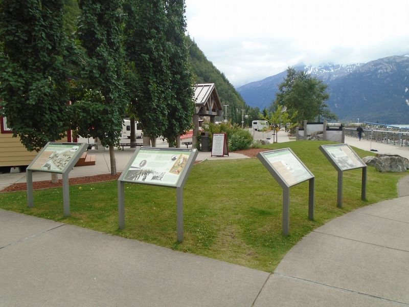
Other nearby markers. At least 8 other markers are within walking distance of this marker: Ho, for the Klondike! (here, next to this marker); The Road to Gold (here, next to this marker); U.S. Army Invades Skagway (here, next to this marker); Captain William Moore (approx. 0.2 miles away); Skagway's Historic Waterfront (approx. 0.2 miles away); Skagway's Shifting Shoreline (approx. 0.2 miles away); Welcome to Pullen Creek (approx. 0.2 miles away); Nature Always Succeeds! (approx. 0.2 miles away). Touch for a list and map of all markers in Skagway.
Related marker. Click here for another marker that is related to this marker.
Credits. This page was last revised on October 1, 2024. It was originally submitted on September 30, 2024, by William Fischer, Jr. of Reynoldsburg, Ohio. This page has been viewed 139 times since then and 13 times this year. Photos: 1, 2. submitted on September 30, 2024, by William Fischer, Jr. of Reynoldsburg, Ohio.
