Mississauga in Peel Region, Ontario — Central Canada (North America)
We Were Here
Photographed by Tim Boyd, September 14, 2024
1. We Were Here Marker
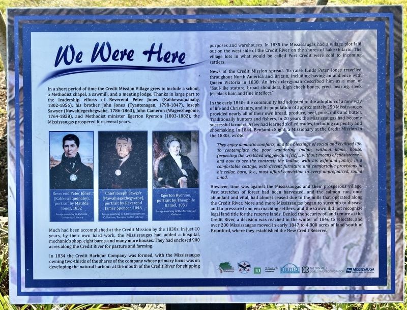
Much had been accomplished at the Credit Mission by the 1830s. In just 10 years, by their own hard work, the Mississaugas had added a hospital, mechanic's shop, eight barns, and many more houses. They had enclosed 900 acres along the Credit River for pasture and farming.
In 1834 the Credit Harbour Company was formed, with the Mississaugas owning two-thirds of the shares of the company whose primary focus was on developing the natural harbour at the mouth of the Credit River for shipping purposes and warehouses. In 1835 the Mississaugas had a village plot laid out on the west side of the Credit River on the shores of Lake Ontario. The village lots in what would
this page online
News of the Credit Mission spread. To raise funds Peter Jones travelled throughout North America and Britain, including having an audience with Queen Victoria in 1838. An Irish clergyman described him as a man of "Saul-like stature, broad shoulders, high cheek bones, erect bearing, sleek jet-black hair, and fine intellect."
In the early 1840s the community had adjusted to the adoption of a new way of life and Christianity, and its population of approximately 250 Mississaugas provided nearly all of their own bread, produce, beef, pork, milk and butter. Traditionally hunters and fishers, in 20 years the Mississaugas had become successful farmers. A few had learned skilled trades, including carpentry and shoemaking. In 1844, Benjamin Slight, a Missionary at the Credit Mission in the 1830s, wrote:
They enjoy domestic comforts, and the blessings of social and civilised life. To contemplate the poor wandering Indian, without home, house, (expecting the wretched wiggewaum [sic]... without means of subsistence... and now to see the contract; the Indian, with his wife and family, in a comfortable cottage, with decent furniture and comfortable provisions in his cellar, barn, & c., must afford conviction to every unprejudiced, sound mind.However,
Photographed by Tim Boyd, September 14, 2024
2. We Were Here Marker
Topics. This historical marker is listed in these topic lists: Agriculture • Indigenous Peoples and Communities • Settlements & Settlers. A significant historical year for this entry is 1835.
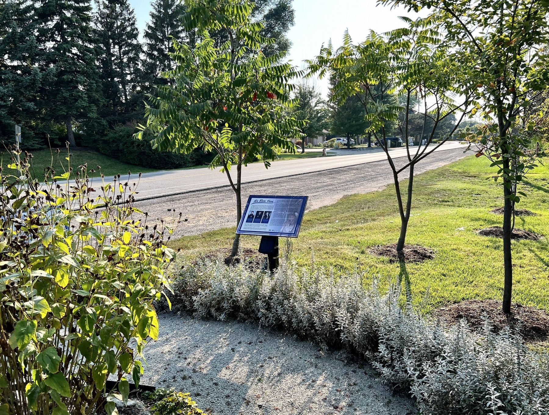
Location. 43° 32.889′ N, 79° 37.456′ W. Marker is in Mississauga, Ontario, in Peel Region. It is on Mississauga Road 0.4 kilometers North Sheridan Way, on the right when traveling north. Touch for map. Marker is at or near this postal address: 1864 Mississauga Rd, Mississauga ON L5H 4C8, Canada.
Photographed by Tim Boyd, September 14, 2024
3. Chi-twaa Tigaanes (Sacred Garden)

Regionally, this marker is in Greater Toronto, specifically on the Golden Horseshoe, and in the Toronto Metropolitan Area. It is also in Central Canada. Globally, it is in North America, on the Great Lakes, in the Western Hemisphere, in the Western World, and in the Anglosphere. Historically, it finds itself in what was once a British colony, the Viceroyalty of New France, the Haudenosaunee (Iroquois) Confederacy, and Rupert’s Land.
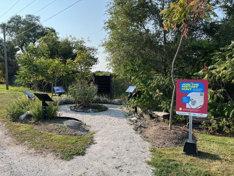
Other nearby markers. At least 8 other markers are within 3 kilometers of this marker, measured as the crow flies: Who We Are (here, next to this marker); Chi-twaa Tigaanes/ Sacred Garden (here, next to this marker); On This Ground (here, next to this marker); Voices of Our Ancestors (here, next to this marker); Benares Historic House (approx. 2.6 kilometers away); Mazo de la Roche (approx. 2.6 kilometers away); Memorial Park (approx. 2.9 kilometers away); The Rev. James Magrath at St. Peter’s (approx. 2.9 kilometers away). Touch for a list and map of all markers in Mississauga.
Photographed by Tim Boyd, September 14, 2024
4. We Were Here marker photo detail
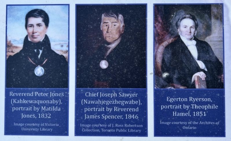
Portraits of Peter Jones (Kahkewaquonaby), Joseph Sawyer (Nawahjegezhegwabe), and Egerton Ryerson
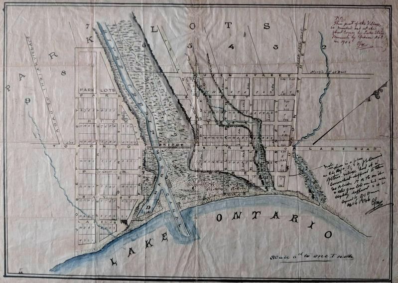
5. Town plot of Port Credit, ca 1840
Source: Heritage Mississauga
Credits. This page was last revised on October 9, 2024. It was originally submitted on October 1, 2024, by Tim Boyd of Hamilton, Ontario. This page has been viewed 188 times since then and 14 times this year. Photos: 1, 2, 3, 4, 5. submitted on October 1, 2024, by Tim Boyd of Hamilton, Ontario. • Andrew Ruppenstein was the editor who published this page.
