Northborough in Worcester County, Massachusetts — The American Northeast (New England)
Boston Post Road
Photographed by Conrad Ward, May 28, 2024
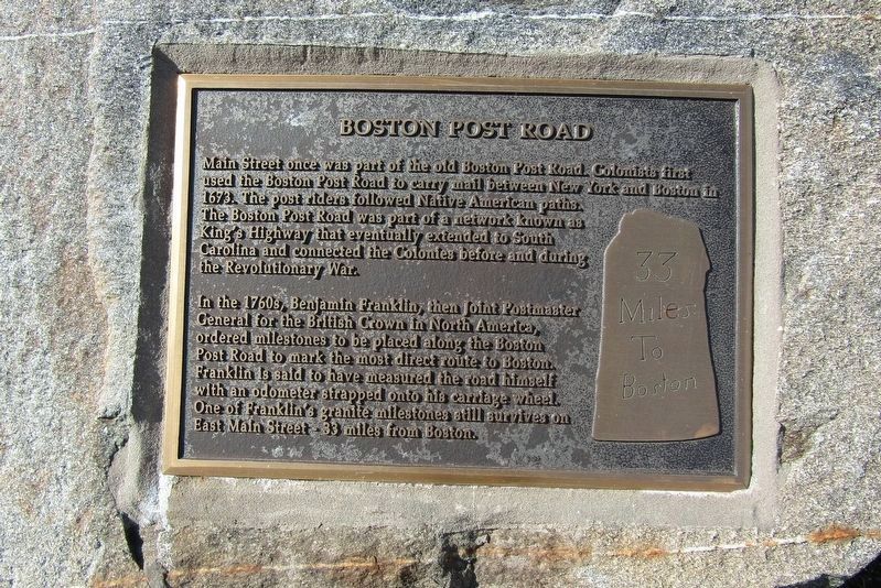
1. Boston Post Road Marker
Main Street once was part of the old Boston Post Road. Colonists first used the Boston Post Road to carry mail between New York and Boston in 1673. The post riders followed Native American paths. The Boston Post Road was part of a network known as King's Highway that eventually extended to South Carolina and connected the Colonies before and during the Revolutionary War.
In the 1760s, Benjamin Franklin, then Joint Postmaster General for the British Crown in North America, ordered milestones to be placed along the Boston Post Road to mark the most direct route to Boston. Franklin is said to have measured the road himself with an odometer strapped onto his carriage wheel. One of Franklin's granite milestones still survives on East Main Street 33 miles from Boston.
(milestone image)
Miles
To
Boston
Topics. This historical marker is listed in these topic lists: Colonial Era • Communications • Roads & Vehicles. A significant historical year for this entry is 1673.
Location. 42° 19.194′ N, 71° 38.536′ W. Marker is in Northborough, Massachusetts, in Worcester County. It is at the intersection of W Main Street
this page online

Regionally, this marker is in the Quiet Corner and in Greater Worcester. It is also in the American Northeast and in New England. Globally, it is in North America, the Western Hemisphere, the Western World, and the Anglosphere. Historically, it finds itself in what was once one of the original Thirteen Colonies.
Other nearby markers. At least 8 other markers are within walking distance of this marker: Gale Library Building (about 500 feet away, measured in a direct line); Cyrus Gale's General Store (about 700 feet away); Cold Harbor Brook Bridge (about 700 feet away); Northborough Veterans Memorial (about 700 feet away); The Soldiers Monument. (about 700 feet away); Gulf War (about 800 feet away); PFC. Neil R. Ellsworth (approx. 0.2 miles away); First Baptist Church of Northborough (approx. 0.2 miles away). Touch for a list and map of all markers in Northborough.
Also see . . . Boston Post Road (Wikipedia).
Photographed by Conrad Ward, May 28, 2024
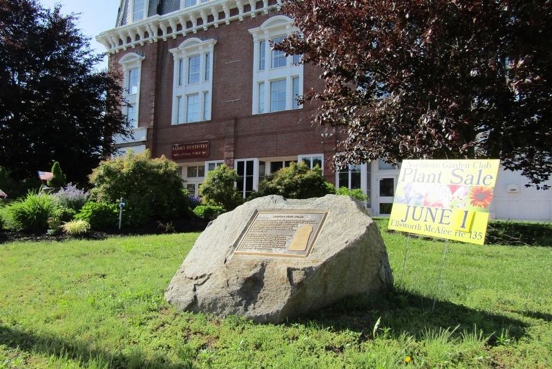
2. Boston Post Road Marker
Credits. This page was last revised on October 11, 2024. It was originally submitted on October 1, 2024, by Conrad Ward of Guilford, Connecticut. This page has been viewed 223 times since then and 31 times this year. Photos: 1, 2. submitted on October 1, 2024, by Conrad Ward of Guilford, Connecticut. • Michael Herrick was the editor who published this page.
