
Near Williamsburg in York County, Virginia — The American South (Mid-Atlantic)
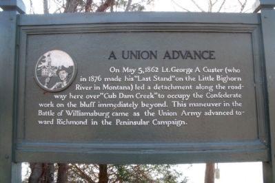
A Union Advance
Photographed By Bernard Fisher, December 21, 2009
1. A Union Advance Marker
Topics. This historical marker is listed in this topic list: War, US Civil. A significant historical month for this entry is May 1926.
Location. 37° 16.975′ N, 76° 38.478′ W. Marker is near Williamsburg, Virginia, in York County. Marker can be reached from Colonial National Historic Parkway, one mile west of Penniman Road (Virginia Route 641), on the right when traveling east. This marker is located at the Jones Mill Pond turnout. Touch for map. Marker is in this post office area: Williamsburg VA 23185, United States of America. Touch for directions.
Other nearby markers. At least 8 other markers are within 3 miles of this marker, measured as the crow flies. Redoubt 12 (approx. half a mile away); Vineyard Tract (approx. 1.9 miles away); Fort Magruder (approx. 1.9 miles away); Confederate Soldiers and Sailors Monument (approx. 1.9 miles away); a different marker also named Fort Magruder (approx. 1.9 miles away); Magruder’s Defenses (approx. 2.4 miles away); Battle of Williamsburg
this page online
Also see . . .
1. Colonial Parkway. Colonial National Historical Park (Submitted on December 24, 2009.)
2. Jones Mill Pond Dam. Colonial Parkway, Jones Mill Pond Dam, Crossing Jones Mill Pond, Yorktown vicinity, York County, VA. Historic American Engineering Record (HAER VA,100-YORK,18G-) (Submitted on December 24, 2009.)
Photographed By Bernard Fisher, December 21, 2009
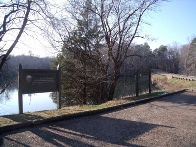
2. Colonial Parkway markers
Photographed By Bernard Fisher, December 21, 2009
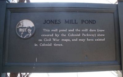
3. Jones Mill Pond Marker
This mill pond and the mill dam (now covered by the Colonial Parkway) show on Civil War maps, and may have existed in Colonial times.
Photographed By Bernard Fisher, December 21, 2009
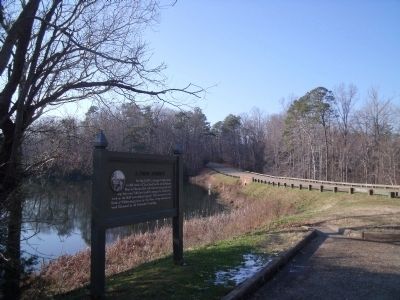
4. Jones Mill Pond Dam
Credits. This page was last revised on October 9, 2022. It was originally submitted on December 24, 2009, by Bernard Fisher of Richmond, Virginia. This page has been viewed 1,724 times since then and 86 times this year. Photos: 1, 2, 3, 4. submitted on December 24, 2009, by Bernard Fisher of Richmond, Virginia.

