Near Dennysville in Washington County, Maine — The American Northeast (New England)
Welcome to the Sunrise Trail

Photographed by Steve Stoessel, October 2, 2024
1. Welcome to the Sunrise Trail Marker
Welcome to the Sunrise Trail. You are between mile marker 79 & 80, Edmunds
The Sunrise Trail was once a railroad system which began with the laying of rails in 1897. The first train passed through in 1898, and the last in 1985.
Numerous voices and volunteers made this multi-use trail possible. we hope you have a memorable, fun and safe experience on the Sunrise Trail.
Topics. This historical marker is listed in these topic lists: Parks & Recreational Areas • Railroads & Streetcars • Roads & Vehicles. A significant historical year for this entry is 1897.
Location. 44° 53.572′ N, 67° 15.492′ W. Marker is near Dennysville, Maine, in Washington County. It is on Sunrise Trail half a mile west of Milwaukee Road, on the right when traveling east. Touch for map. Marker is in this post office area: Dennysville ME 04628, United States of America. Touch for directions.

Regionally, this marker is in Downeast Maine. It is also in the American Northeast, in New England, and on the Eastern Seaboard. Globally, it is in the North Atlantic Region, North America, the Great North Woods, the Western Hemisphere, the Western
this page online
Other nearby markers. At least 8 other markers are within 16 miles of this marker, measured as the crow flies: Morrison Cove (approx. 8.1 miles away); Huckins Beach and Trail (approx. 8.1 miles away); Arthur Smallidge Campground (approx. 8.1 miles away); Precise Positioning and the 45th Parallel (approx. 11.1 miles away); Colonel Benjamin Foster (approx. 12½ miles away); Mill Memorial Park (approx. 12.6 miles away); Libby Hall (approx. 15.6 miles away); Fort Machias/O'Brien (approx. 15.6 miles away).
Also see . . . Sunrise Rise Trail Coalition. Website homepage (Submitted on October 2, 2024, by Steve Stoessel of Niskayuna, New York.)
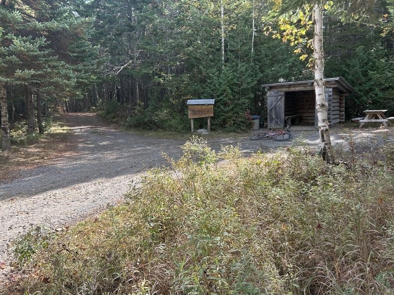
Photographed by Steve Stoessel, October 2, 2024
2. Welcome to the Sunrise Trail Marker
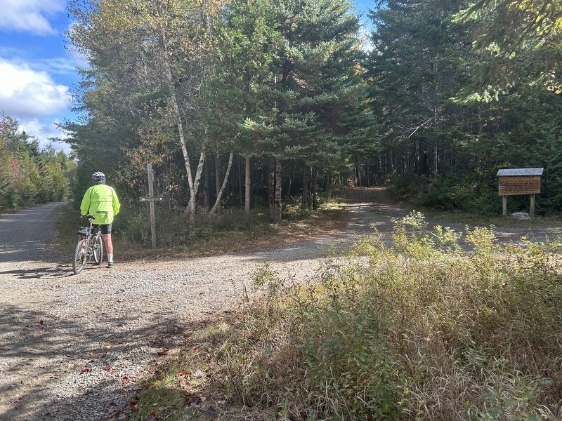
Photographed by Steve Stoessel, October 2, 2024
3. Welcome to the Sunrise Trail Marker
The trail is to the left.
Credits. This page was last revised on March 10, 2026. It was originally submitted on October 2, 2024, by Steve Stoessel of Niskayuna, New York. This page has been viewed 83 times since then and 5 times this year. Photos: 1, 2, 3. submitted on October 2, 2024, by Steve Stoessel of Niskayuna, New York.
