Käfertal in Mannheim, Baden-Württemberg, Germany — Central Europe
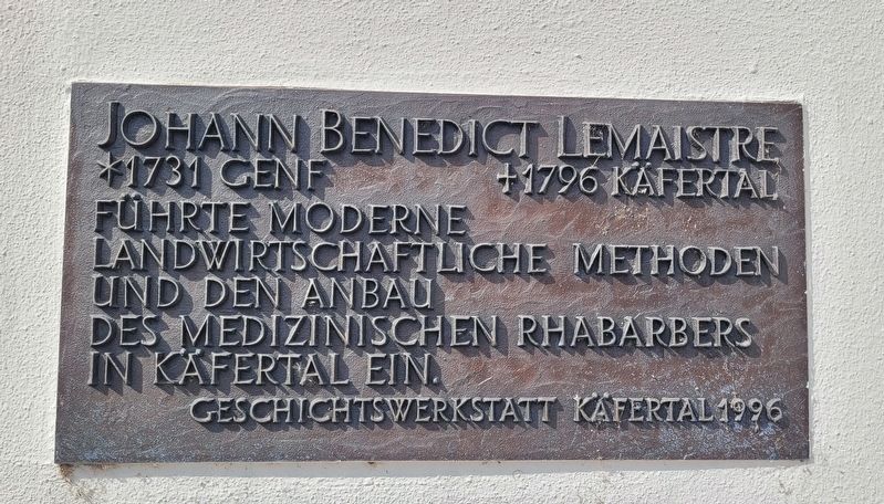
Johann Benedict Lemaistre
*1731 Genf +1796 Käfertal
Photographed by James Hulse, September 22, 2024
1. Johann Benedict Lemaistre Marker

Führte moderne landwirtschaftliche methoden und den anbau des medizinischen rhabarbers in Käfertal ein.
Introduced modern agricultural methods and the cultivation of medicinal rhubarb in Käfertal.
Erected 1996 by Geschichtswerkstatt Käfertal.
Topics. This historical marker is listed in these topic lists: Agriculture • Science & Medicine.
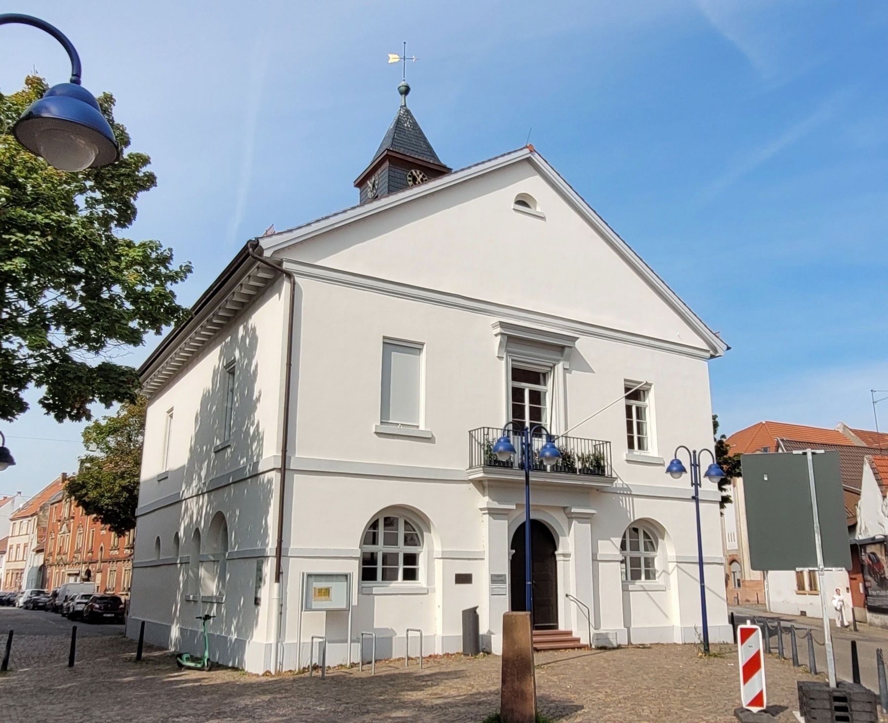
Location. 49° 30.753′ N, 8° 31.068′ E. Marker is in Mannheim, Baden-Württemberg. It is in Käfertal. It is at the intersection of Wormser Straße and Ladenburger Str., on the right when traveling south on Wormser Straße. The marker is located at the front entrance to the Käfertal Rathaus. Touch for map. Marker is at or near this postal address: Wormser Str 1, Mannheim BW 68309, Germany. Touch for directions.

Regionally, this marker is on the German Upper Rhine. Globally, it is in Europe, the European Union, Atlantic Europe, Central Europe, the Schengen Area, Western Europe, and the Western World. Historically, it finds itself in what was once the Roman Empire, the Holy Roman
this page online
Other nearby markers. At least 8 other markers are within 5 kilometers of this marker, measured as the crow flies: Käfertal - Geschichte und Gegenwart / Käfertal - History and Present (here, next to this marker); Käfertal Memorial (about 150 meters away, measured in a direct line); Chronik des Friedhofs Käfertal / Chronicle of the Käfertal Cemetery (approx. half a kilometer away); Otto Siffling (approx. half a kilometer away); Für Baden’s Ehre / For Baden's Honor (approx. 0.6 kilometers away); Neckarstadt Ost, Alte Brauerei / Neckar City East, Old Brewery (approx. 2.9 kilometers away); Hochbunker Neckarvorlandstraße / Neckarvorlandstraße Air-Raid Bunker (approx. 4 kilometers away); Neckarkran der Firma Mohr & Federhaff / Neckar Crane of the Mohr & Federhaff Company (approx. 4 kilometers away). Touch for a list and map of all markers in Mannheim.
Photographed by James Hulse, September 22, 2024
2. The Johann Benedict Lemaistre Marker is located on the left side of the front entrance to Rathaus
Credits. This page was last revised on October 4, 2024. It was originally submitted on October 3, 2024, by James Hulse of Medina, Texas. This page has been viewed 143 times since then and 16 times this year. Photos: 1, 2. submitted on October 4, 2024, by James Hulse of Medina, Texas.
