
Mississauga in Peel Region, Ontario — Central Canada (North America)
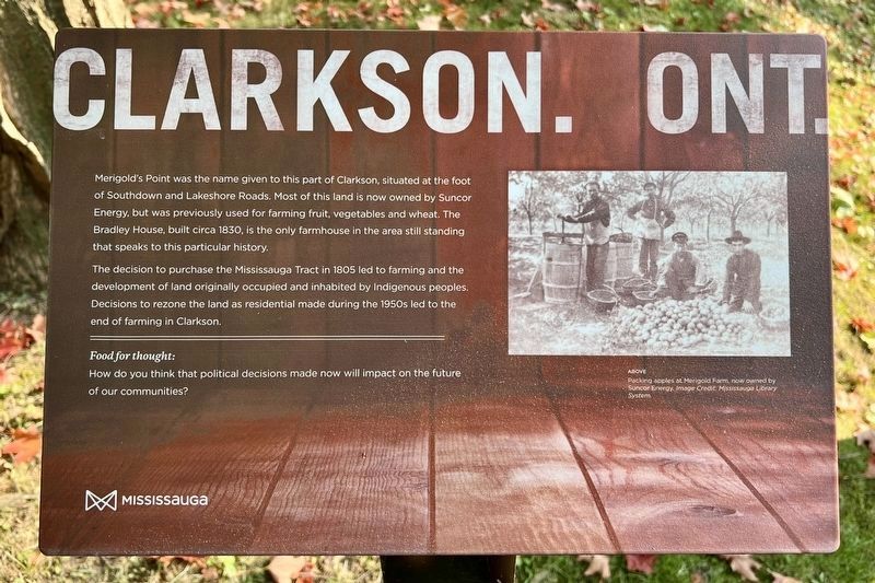
Clarkson. Ont. (Merigold’s Point)
Photographed by Tim Boyd, September 14, 2024
1. Clarkson. Ont. (Merigold’s Point) Marker
The decision to purchase the Mississauga Tract in 1805 led to farming and the development of land originally occupied and inhabited by Indigenous peoples. Decisions to rezone the land as residential made during the 1950s led to the end of farming in Clarkson.
Topics. This historical marker is listed in these topic lists: Agriculture • Indigenous Peoples and Communities • Settlements & Settlers. A significant historical year for this entry is 1830.
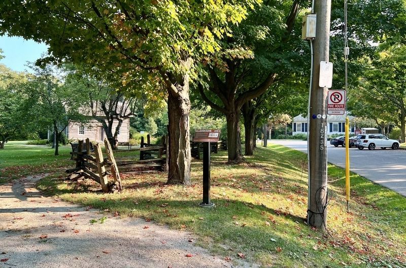
Location. 43° 30.725′ N, 79° 36.654′ W. Marker is in Mississauga, Ontario, in Peel Region. It is on Orr Road, on the right when traveling east. The marker is on the grounds of the Bradley Museum. Touch for map. Marker is at or near this postal address: 1600 Orr Road, Mississauga ON L5J L5J, Canada. Touch for directions.

Regionally,
this page online
Other nearby markers. At least 8 other markers are within 5 kilometers of this marker, measured as the crow flies: Remembering the War of 1812 (a few steps from this marker); Merigold’s Point (within shouting distance of this marker); Mazo de la Roche (approx. 2.7 kilometers away); Benares Historic House (approx. 2.7 kilometers away); Who We Are (approx. 4.2 kilometers away); We Were Here (approx. 4.2 kilometers away); Voices of Our Ancestors (approx. 4.2 kilometers away); On This Ground (approx. 4.2 kilometers away). Touch for a list and map of all markers in Mississauga.
Also see . . . The Toronto Purchase Confirmation, 1805 (Talking Treaties).
In 1805, conditions are finally ripe for(Submitted on October 5, 2024, by Tim Boyd of Hamilton, Ontario.)the British to confirm the 1787 Toronto Purchase, finalize its boundaries, and acquire the lands to the west. They call the Mississauga to a three-day Council at the Credit River. The British have succeeded in sidelining Joseph Brant. The Mississaugas of the Credit will negotiate without him.Photographed by Tim Boyd, September 14, 20242. Clarkson. Ont. (Merigold’s Point) Marker
Photographed by Tim Boyd, September 14, 2024
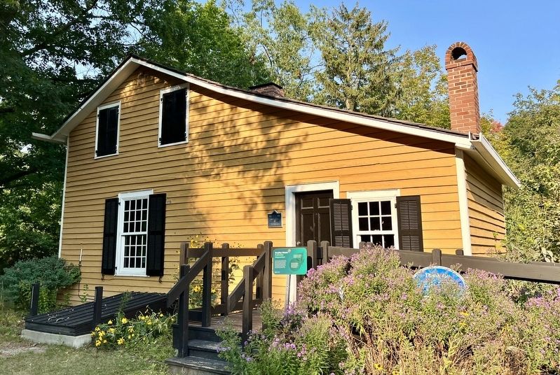
3. Bradley House
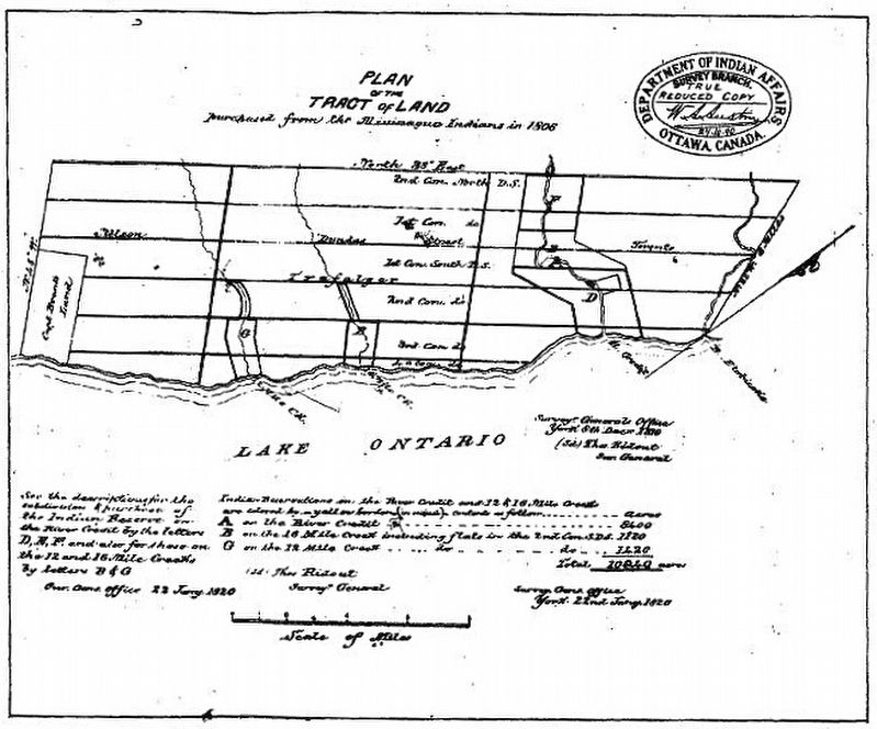
4. Treaty 14, 1806 (the Missisauga Purchase)
Credits. This page was last revised on October 6, 2024. It was originally submitted on October 5, 2024, by Tim Boyd of Hamilton, Ontario. This page has been viewed 189 times since then and 42 times this year. Photos: 1, 2, 3, 4. submitted on October 5, 2024, by Tim Boyd of Hamilton, Ontario. • Andrew Ruppenstein was the editor who published this page.
