Williamsburg, Virginia — The American South (Mid-Atlantic)
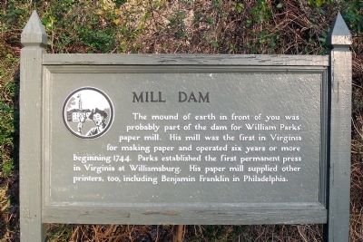
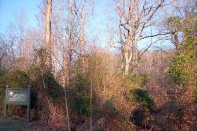
Mill Dam
Topics. This historical marker is listed in these topic lists: Colonial Era • Industry & Commerce. A significant historical year for this entry is 1744.
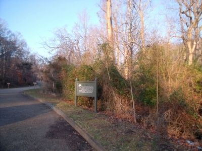
Location. 37° 15.436′ N, 76° 42.144′ W. Marker is in Williamsburg, Virginia. Marker can be reached from Colonial National Historic Parkway, 0.6 miles north of Virginia Route 199, on the right when traveling east. Touch for map. Marker is in this post office area: Williamsburg VA 23185, United States of America. Touch for directions.
Other nearby markers. At least 8 other markers are within walking distance of this marker. Great Neck (within shouting distance of this marker); The Palisades (approx. 0.2 miles away); Princess Anne Port (approx. 0.6 miles away); Galt (approx. 0.7 miles away); The Public Hospital of 1773 (approx. 0.8 miles away); Travis House (approx. 0.9 miles away); Site of First Baptist Church (approx. 0.9 miles away); Moody House (approx. 0.9 miles away). Touch for a list and map of all markers in Williamsburg.
Also see . . .
1. Colonial Parkway . Colonial National Historical Park (Submitted on December 24, 2009.)
2. Printing Office. The Colonial Williamsburg Foundation (Submitted on December 24, 2009.)
Credits. This page was last revised on November 14, 2021. It was originally submitted on December 24, 2009, by Bernard Fisher of Richmond, Virginia. This page has been viewed 850 times since then and 20 times this year. Photos: 1, 2, 3. submitted on December 24, 2009, by Bernard Fisher of Richmond, Virginia.


