Concord in Cabarrus County, North Carolina — The American South (South Atlantic)
Concord, NC
"Harmony and Friendship"
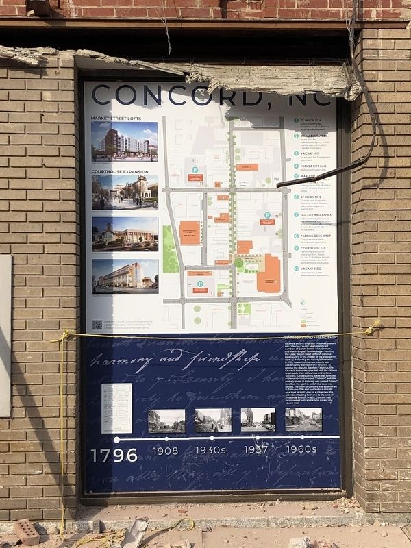
Catawba Indians originally inhabited present day Cabarrus County when significant numbers of Dutch, Scots-Irish, German, and Welsh-English families began traveling the Great Wagon Road to North Carolina backcountry in the middle of the eighteenth century. Following the County's formation in 1792, location of the new county seat was fervently discussed and depated. To resolve the dispute, Stephen Cabarrus, the County's namesake, pleaded with the citizens to set aside their diferrence and to have "concord." Consequently, a site was selected, and appropriately named "Concord" and the primary street in Concord was named "Union" to reflect the spirit in which the issue was settled. The Town of Concord was established in February 1796 and was laid out on a 26-acre tract of land lying on a ridge near the old Indian Trading Path and to the west of Three Mile Branch. In 1837, Concord was incorporated with a total land area of one square mile.
Topics. This historical marker is listed in these topic lists: Indigenous Peoples and Communities • Political Subdivisions • Roads & Vehicles • Settlements & Settlers. A significant historical month for this entry is February 1796.
Location. Marker
this page online
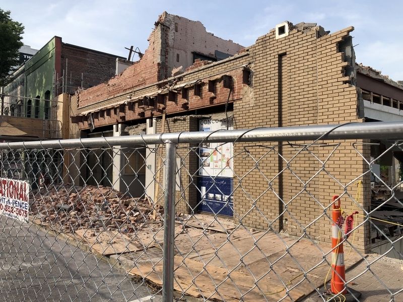
We have been informed that this marker is no longer there and will not be replaced. This page is an archival view of what was.
Regionally, this marker was in the Piedmont and in Greater Charlotte. It was also in the American South and specifically in the Upper South. Globally, it was in North America, the Western Hemisphere, the Western World, and the Anglosphere. Historically, it found itself in what was once the territory of the Mississippian Culture, one of the original Thirteen Colonies, one of the Confederate States of America, and the Antebellum South.

Other nearby markers. At least 8 other markers are within walking distance of this location: Doctor's Office (a few steps from this marker); General Merchandise Store
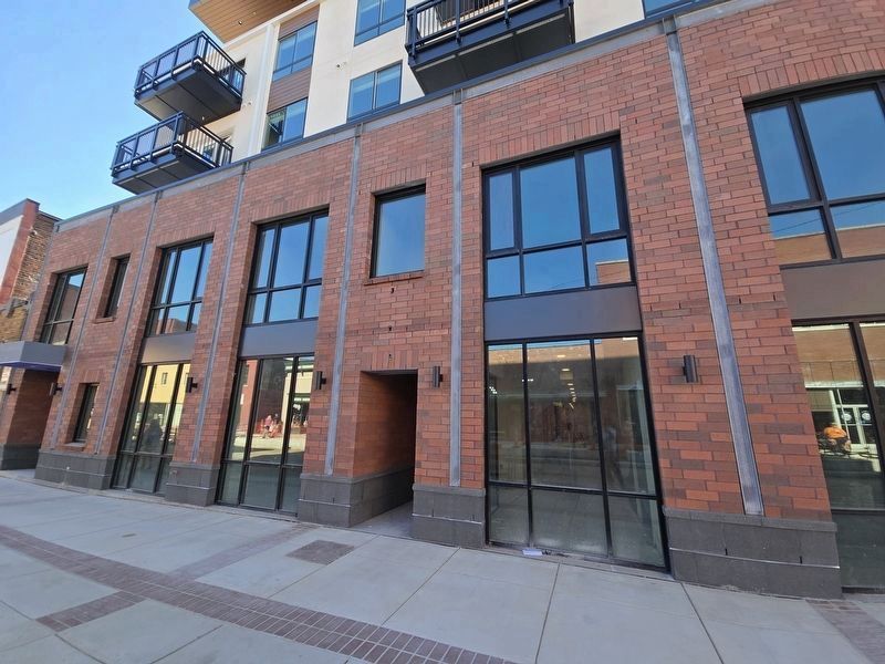
Photographed by Mark Parker, October 5, 2024
3. Previous building was torn down and replaced without the marker
Credits. This page was last revised on October 9, 2024. It was originally submitted on June 23, 2021, by Devry Becker Jones of Washington, District of Columbia. This page has been viewed 1,068 times since then and 103 times this year. Last updated on October 9, 2024, by Mark Parker of Hickory, North Carolina. Photos: 1, 2. submitted on June 23, 2021, by Devry Becker Jones of Washington, District of Columbia. 3. submitted on October 9, 2024, by Mark Parker of Hickory, North Carolina.
