Near Crisfield in Somerset County, Maryland — The American Northeast (Mid-Atlantic)
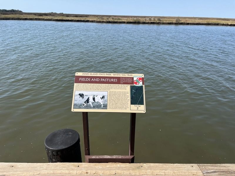
Fields and Pastures
Janes Island State Park—White Tail Trail
| — | Maryland Park Service | — |

The area to the north of the closest wooded hammock was once farmland and pasture for grazing cattle.
In Maryland's earliest days, Janes Island was much like it is now, although somewhat larger, with little wooded acreage and small tracts of land suitable for farming. It was not quality land and it took more than 100 years before most of the island was actually claimed. In order to mark the boundaries of their properties and to drain the low fields, farmers dug ditches, piling the soil removed beside them. These berms served to help protect farmland and homes from unusually high tides caused by storms.
Over the years, as storms and tides inundated the island, the area's farmland and pasture gradually became marshland. While the farms are gone, the ditches the landowners dug and the berms they built remain. These landforms show the old boundaries and indicate how hard the residents worked to protect their homes and property. Other berms remain on the island, most notably in the southwest portion, where there is a small portion of a berm that protected an orchard. The orchard was already threatened by salt water encroachment
this page online
Erected by Maryland Park Service. (Marker Number 2.)
Topics. This historical marker is listed in these topic lists: Agriculture • Animals • Environment • Settlements & Settlers. A significant historical year for this entry is 1849.
Location. 38° 0.846′ N, 75° 50.815′ W. Marker is near Crisfield, Maryland, in Somerset County. It can be reached from Canal Drive north of Alfred J Lawson Drive, on the left when traveling north. Touch for map. Marker is at or near this postal address: 4931 Canal Dr, Crisfield MD 21817, United States of America. Touch for directions.

Regionally, this marker is on the Eastern Shore. It is also in the American Mid-Atlantic, on the Delmarva Peninsula, in the Tidewater, in the Chesapeake Bay Region, and on the Eastern Seaboard. Globally, it is in the North Atlantic Region, North America, the Western Hemisphere, the Western World, and the Anglosphere. Historically, it finds itself in what was once one of the original Thirteen Colonies and also the Antebellum South.
Other nearby markers. At least 8 other markers are within 3 miles of this marker, measured as
Credits. This page was last revised on October 13, 2024. It was originally submitted on October 13, 2024, by Devry Becker Jones of Washington, District of Columbia. This page has been viewed 214 times since then and 24 times this year. Photos: 1, 2. submitted on October 13, 2024, by Devry Becker Jones of Washington, District of Columbia.
