
Near Townville in Anderson County, South Carolina — The American South (South Atlantic)
Portman Shoals
Photographed by Brian Scott, August 23, 2008
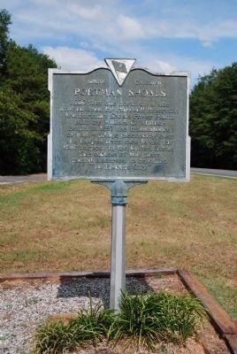
1. Portman Shoals Marker
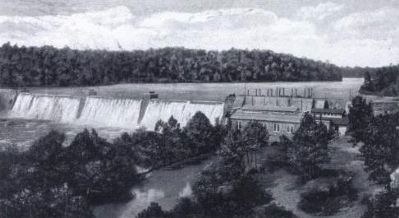
One thousand feet due north on a site now covered by Hartwell Reservoir, the Portman Shoals Power Plant, built by William C. Whitner, began the transmission of high-voltage electricity in 1897 over the longest lines then used for that purpose in the United States. The success of this plant caused Anderson to be called "The Electric City."
Erected 1960 by Anderson County Historical Association. (Marker Number 4-1 #2.)
Topics and series. This historical marker is listed in these topic lists: Industry & Commerce • Science & Medicine • Waterways & Vessels. In addition, it is included in the South Carolina, Anderson County Historical Association/Society series list. A significant historical year for this entry is 1897.
Location. Marker is missing. It was located near 34° 31.451′ N, 82° 49.33′ W. Marker was near Townville, South Carolina, in Anderson County. It was on Savannah River Scenic Byway (State Highway 24) 0.1 miles east of Keowee Club Road, on the left when traveling east. Touch for map. Marker was in this post office area: Townville SC 29689, United States of America. Touch for directions.

Regionally, this marker was in Upstate and in the Greater Greenville-Spartanburg Area. It was also in the American South and specifically in the Deep South. Globally, it was in North America, the Western Hemisphere, the Western World, and the Anglosphere. Historically, it found itself in what was once the territory of the Mississippian Culture, one of the original Thirteen Colonies, one of the Confederate States of America, and the Antebellum South.
Other nearby markers. At least 8 other markers are within 8 miles of this location, measured as the crow flies: The Wilton E. Hall Bridge (approx. one mile away); Roberts Church (approx. 5 miles away); Townville Presbyterian Church (approx.
this page online
Another marker is no longer nearby. Saylors Bridge (was approx. 0.6 miles away but has been confirmed missing).
Related marker. Click here for another marker that is related to this marker. A second marker, also entitled Portman Shoals, at the intersection of North McDuffie Street and Whitner Street in Anderson, SC.
Additional commentary.
1. The Portman Family
This land was once owned by John Portman, Langdon Cheves, and Samuel Earle. Christopher Portman, sailed from England, October 11, 1679, on the ship "Endeavor" for Carolina. He is listed among the Colonial Patriots in the year 1700. John Portman, who later owned much land on Seneca River, served in the Cherokee Expedition 1759-1760. His grandson, John,
Photographed by Brian Scott, August 23, 2008
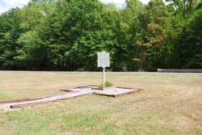
2. Portman Shoals Marker
— Submitted November 16, 2008, by Brian Scott of Anderson, South Carolina.
circa 1920
3. Portman Shoals Power Plant, Seneca River
Photographed by Robert Dennis, October 6, 2024
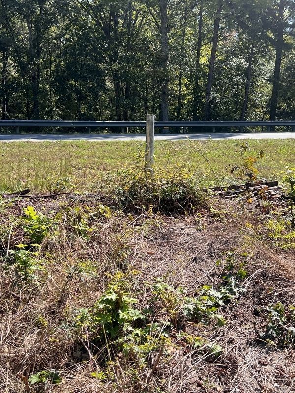
4. Portman Shoals Marker
Marker is missing
Credits. This page was last revised on October 21, 2025. It was originally submitted on August 27, 2008, by Brian Scott of Anderson, South Carolina. This page has been viewed 2,681 times since then and 33 times this year. Last updated on October 19, 2024, by Robert Dennis of Atlanta, Georgia. Photos: 1. submitted on August 27, 2008, by Brian Scott of Anderson, South Carolina. 2. submitted on November 16, 2008, by Brian Scott of Anderson, South Carolina. 3. submitted on January 2, 2009, by Brian Scott of Anderson, South Carolina. 4. submitted on October 19, 2024, by Robert Dennis of Atlanta, Georgia. • Bernard Fisher was the editor who published this page.
