Corolla in Currituck County, North Carolina — The American South (South Atlantic)
Life on Currituck Sound

Photographed by Bernard Fisher, December 23, 2014
1. Life on Currituck Sound Marker
Water level in Currituck Sound is mainly determined by wind direction and speed rather than lunar tides. The water level is, therefore, relatively high when southerly winds push water in from Albemarle Sound and lower when northerly winds push water back into Albemarle Sound.
In the 1960s, a non-native aquatic plant called Eurasian milfoil appeared in Currituck Sound. The thick beds of milfoil blanketed the sound and pushed out native aquatic plants. However, the milfoil
this page online
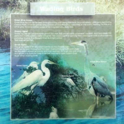
Great blue herons can be seen throughout the year along the coast. Approximately 5,000 pairs nest in the Coastal Plain. A heron spends long periods of time standing motionless in the water, waiting for fish and other prey to come in range of its long neck and sharp bill.
Snowy Egret
Snowy egrets can be seen throughout the year, but are primarily a summer resident. Approximately 350 pairs nest in the state’s coastal estuaries. The snowy egret is typically seen dashing around shallow waters pursuing its prey. It is thought that is bright yellow feet may attract fish.
Great Egret
The great egret is an abundant species on the
December 23, 2014
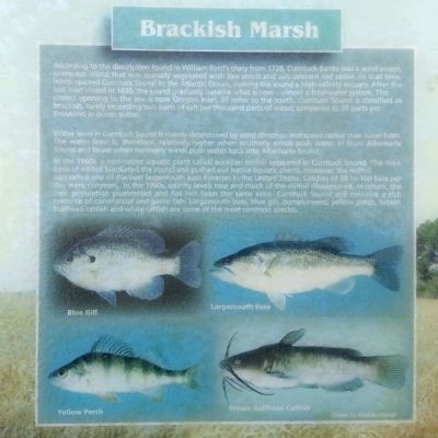
2. Brackish Marsh
Blue Gill; Yellow Perch; Largemouth Bass; Brown Bullhead Catfish
Photos by Noel Burkhead
Photos by Noel Burkhead
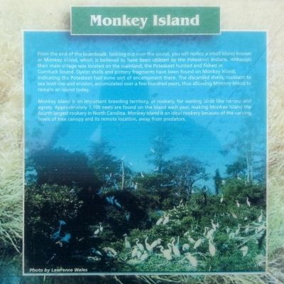
Monkey Island is an important breeding territory, or rookery, for wading birds like herons and egrets. Approximately 1,100 nests are found on the island each year, making Monkey Island the fourth largest rookery in North Carolina. Monkey Island is an ideal rookery because of the varying levels of tree
December 23, 2014
3. Wading Birds
Great Egret; Snowy Egret; Great Blue Heron
December 23, 2014
4. Monkey Island
Photo by Lawrence Wales
Topics. This historical marker is listed in these topic lists: Animals • Environment • Indigenous Peoples and Communities. A significant historical year for this entry is 1728.
Location. Marker has been permanently removed. It was located near 36° 23.401′ N, 75° 50.192′ W. Marker was in Corolla, North Carolina, in Currituck County. It could be reached from the intersection of Ocean Trail (State Highway 12) and North Beach Access Road, on the left when traveling north. Located on the boardwalk in the Currituck Banks Reserve. Touch for map. Marker was in this post office area: Corolla NC 27927, United States of America.
We have been informed that this marker is no longer there and will not be replaced. This page is an archival view of what was.
Regionally, this marker was in the Coastal Plain, on the Outer Banks, and in the Hampton Roads Metropolitan Area. It was also in the American South, specifically in the Upper South, in the Tidewater, and on the

December 23, 2014
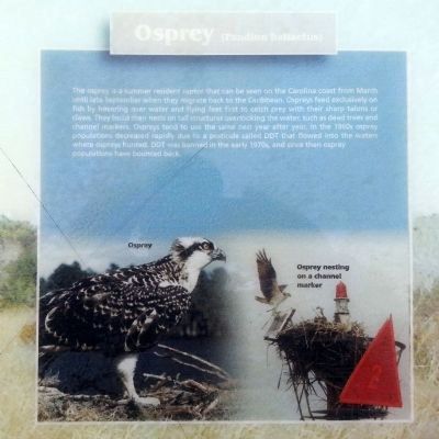
5. Osprey (Pandion haliaetus)
Osprey; Osprey nesting on a channel marker
Other nearby markers. At least 8 other markers are within one mile of this location, measured as the crow flies: Corolla Chapel (approx. ¾ mile away); Corolla Schoolhouse (approx. 0.8 miles away); Corolla Historic Village (approx. 0.8 miles away); Kill Devil Hills (approx. 0.9 miles away); a different marker also named Corolla Schoolhouse (approx. 0.9 miles away); Boats And Blinds (approx. 0.9 miles away); Welcome to a Wetland (approx. one mile away); Currituck Beach Light Station (approx. one mile away). Touch for a list and map of all markers in Corolla.
Also see . . . Currituck Banks Reserve. N.C. Department of Environmental Quality (Submitted on December 24, 2014.)
December 23, 2014
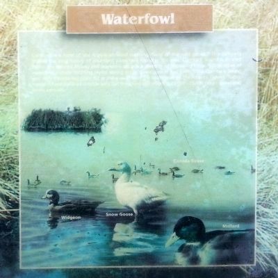
6. Waterfowl
Widgeon; Snow Goose; Canada Geese; Mallard
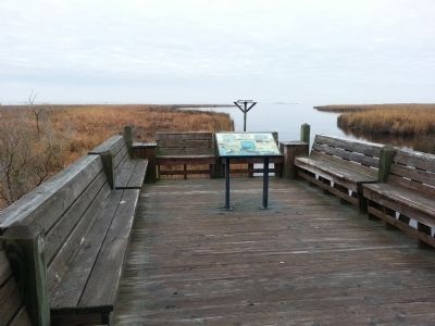
Photographed by Bernard Fisher, December 23, 2014
7. Life on Currituck Sound Marker
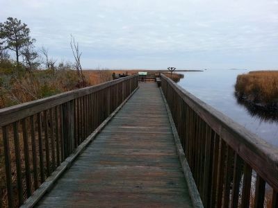
Photographed by Bernard Fisher, December 23, 2014
8. Currituck Banks Reserve Boardwalk
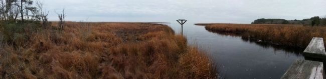
Photographed by Bernard Fisher, December 23, 2014
9. Currituck Sound
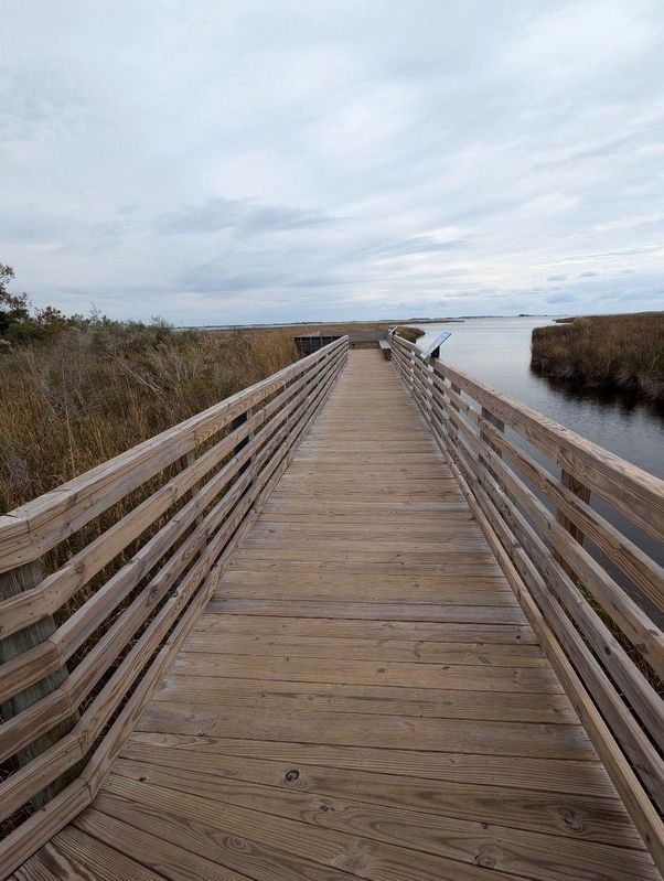
Photographed by Michael Ray Townsend, Jr., October 27, 2024
10. Life on Currituck Sound Marker
Credits. This page was last revised on October 31, 2024. It was originally submitted on December 24, 2014, by Bernard Fisher of Richmond, Virginia. This page has been viewed 1,161 times since then and 67 times this year. Last updated on October 28, 2024, by Michael Ray Townsend, Jr. of College Station, Texas. Photos: 1, 2, 3, 4, 5, 6, 7, 8, 9. submitted on December 24, 2014, by Bernard Fisher of Richmond, Virginia. 10. submitted on October 28, 2024, by Michael Ray Townsend, Jr. of College Station, Texas. • Devry Becker Jones was the editor who published this page.
