Sturbridge in Worcester County, Massachusetts — The American Northeast (New England)
Old Fordway at Tantiusque
“Tantasquee”
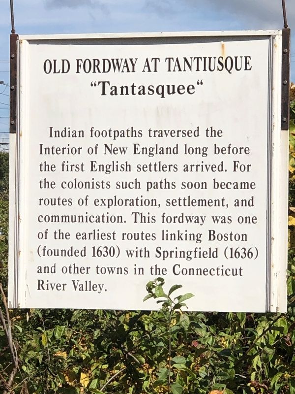
Photographed by Duane and Tracy Marsteller, September 30, 2024
1. Old Fordway at Tantiusque Marker
Topics. This historical marker is listed in these topic lists: Indigenous Peoples and Communities • Roads & Vehicles. A significant historical year for this entry is 1630.
Location. 42° 6.652′ N, 72° 5.504′ W. Marker is in Sturbridge, Massachusetts, in Worcester County. It can be reached from Main Street (U.S. 20) east of Old Sturbridge Village Road, on the right when traveling east. Marker is in Old Sturbridge Village. Touch for map. Marker is at or near this postal address: 379 Main St, Sturbridge MA 01566, United States of America. Touch for directions.

Regionally, this marker is in the Quiet Corner and in Greater Worcester. It is also in the American Northeast and in New England. Globally, it is in North America, the Western Hemisphere, the Western World, and
this page online
Other nearby markers. At least 8 other markers are within walking distance of this marker: Oliver Wight House (within shouting distance of this marker); Where is the Farm? (approx. 0.4 miles away); The Architectural Style of the Salem Towne House (approx. 0.4 miles away); Millstones (approx. 0.4 miles away); a different marker also named Millstones (approx. 0.4 miles away); Fitch House Yard (approx. 0.4 miles away); Getting Water (approx. 0.4 miles away); The Fire Pit (approx. half a mile away). Touch for a list and map of all markers in Sturbridge.
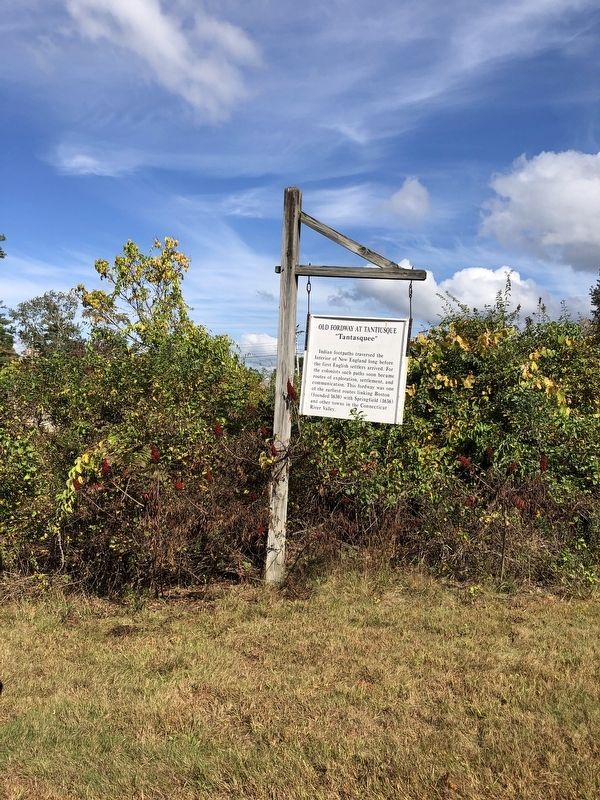
Photographed by Duane and Tracy Marsteller, September 30, 2024
2. Old Fordway at Tantiusque Marker
Credits. This page was last revised on November 9, 2024. It was originally submitted on November 3, 2024, by Duane and Tracy Marsteller of Murfreesboro, Tennessee. This page has been viewed 126 times since then and 17 times this year. Photos: 1, 2. submitted on November 3, 2024, by Duane and Tracy Marsteller of Murfreesboro, Tennessee.
