Sturbridge in Worcester County, Massachusetts — The American Northeast (New England)
The North Cemetery

Photographed by Duane and Tracy Marsteller, September 30, 2024
1. The North Cemetery Marker
Erected by Town of Sturbridge, MA.
Topics. This historical marker is listed in these topic lists: Cemeteries & Burial Sites • War, US Civil. A significant historical year for this entry is 1840.
Location. 42° 6.787′ N, 72° 4.662′ W. Marker is in Sturbridge, Massachusetts, in Worcester County. It is on Maple Street north of Gardner Avenue, on the right when traveling north. Touch for map. Marker is in this post office area: Sturbridge
this page online

Regionally, this marker is in the Quiet Corner and in Greater Worcester. It is also in the American Northeast and in New England. Globally, it is in North America, the Western Hemisphere, the Western World, and the Anglosphere. Historically, it finds itself in what was once one of the original Thirteen Colonies.
Other nearby markers. At least 8 other markers are within walking distance of this marker: The Town Hall (approx. 0.3 miles away); Sturbridge Honor Roll War Memorial (approx. 0.4 miles away); Revere Bell (approx. 0.4 miles away); 1771 Publick House Historic Inn & Country Lodge (approx. 0.4 miles away); Civil War Soldier's Monument (approx. 0.4 miles away); "Witness Tree" (approx. 0.4 miles away); The Sturbridge Common (approx. 0.4 miles away); War Memorial (approx. 0.4 miles away). Touch for a list and map of all markers in Sturbridge.
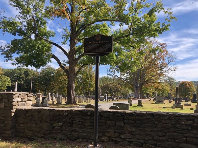
Photographed by Duane and Tracy Marsteller, September 30, 2024
2. The North Cemetery Marker
Credits. This page was last revised on November 3, 2024. It was originally submitted on November 3, 2024, by Duane and Tracy Marsteller of Murfreesboro, Tennessee. This page has been viewed 366 times since then and 49 times this year. Photos: 1, 2. submitted on November 3, 2024, by Duane and Tracy Marsteller of Murfreesboro, Tennessee.
