Near Pleasanton in Atascosa County, Texas — The American South (West South Central)
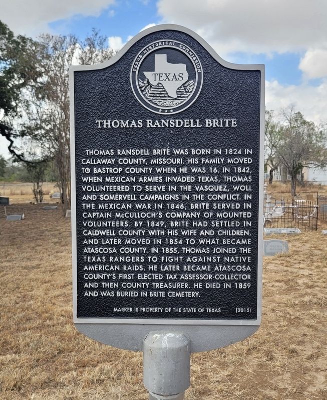
Thomas Ransdell Brite
Photographed by James Hulse, October 29, 2024
1. Thomas Ransdell Brite Marker
Erected 2015 by Texas Historical Commission. (Marker Number 18241.)
Topics. This historical marker is listed in these topic lists: Cemeteries & Burial Sites • War, Mexican-American • Wars, US Indian. A significant historical year for this entry is 1824.
Location. 29° 3.471′ N, 98° 26.771′ W. Marker is near Pleasanton, Texas, in Atascosa County. It is on Verdi Road one mile west of Farm to Market Road 3006. The marker
this page online

Regionally, this marker is in the Hill Country and in the San Antonio Metropolitan Area. Globally, it is in North America, a Gulf of Mexico state, the Western Hemisphere, the Western World, and the Anglosphere. Historically, it finds itself in what was once New Spain, the Republic of Texas, and one of the Confederate States of America.
Other nearby markers. At least 8 other markers are within 6 miles of this marker, measured as the crow flies: Robert E. Neill (a few steps from this marker); Brite Cemetery (about 400 feet away, measured in a direct line); Site of San Augustine Church (approx. 2.7 miles away); Verdi (approx. 2.9 miles away); Shiloh Cemetery (approx. 4.1 miles away); Peanut Farming in Atascosa County (approx. 4.3 miles away); St. Joseph's Catholic Church (approx. 4.3 miles away); Dr. Ben and Mona Parker and KBOP Radio (approx. 5.6 miles away). Touch for a list and map of all markers in Pleasanton.
Photographed by James Hulse, October 29, 2024
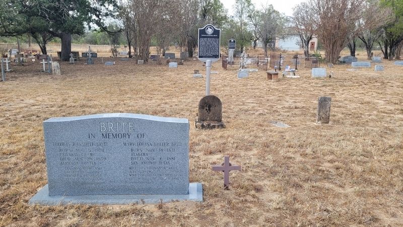
2. The Thomas Ransdell Brite Gravestone and Marker
Photographed by James Hulse, October 29, 2024
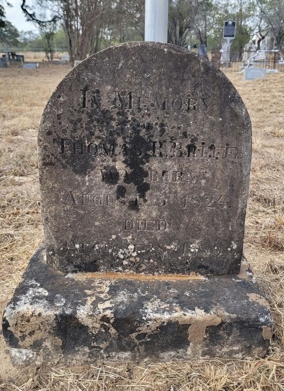
3. Thomas Ransdell Brite Gravestone
Photographed by James Hulse, October 29, 2024
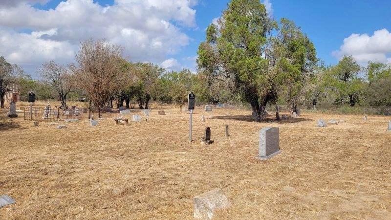
4. The view of the Thomas Ransdell Brite Marker in the Brite Cemetery
Credits. This page was last revised on November 5, 2024. It was originally submitted on November 4, 2024, by James Hulse of Medina, Texas. This page has been viewed 147 times since then and 25 times this year. Photos: 1. submitted on November 4, 2024, by James Hulse of Medina, Texas. 2, 3, 4. submitted on November 5, 2024, by James Hulse of Medina, Texas.
