Myrtle Beach in Horry County, South Carolina — The American South (South Atlantic)
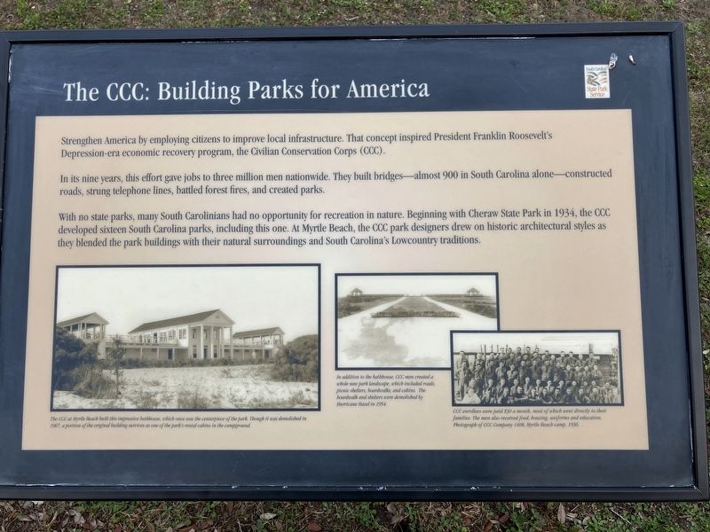
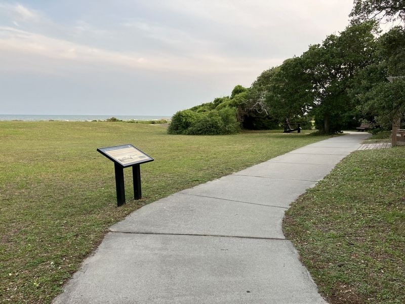
The CCC: Building Parks for America
Photographed by Barry Swackhamer, May 22, 2023
1. The CCC: Building Parks for America Marker
Captions: (bottom left) The CCC at Myrtle Beach built this impressive bathhouse, which once was the centerpiece of the park. Though it was demolished in 1967, a portion of the original building survives as one of the park's rental cabins in the campground.; (lower center) In addition to the bathhouse, CCC men created a whole new park landscape, which included roads, picnic shelters, and cabins. The boardwalk and shelters were demolished by Hurricane Hazel in 1954.l (bottom right) CCC enrollees where paid $30 a month, most of which went directly to their families. The men also received food, housing, uniforms and education. Photograph of CCC Company 1408, Myrtle Beach camp. 1936.
In its nine years, its effort gave jobs to three million men worldwide. They built bridges -- almost 900 in South Carolina alone -- constructed roads, strung telephone lines, battled forest fires, and created parks
With no state parks, many South Carolinians had no opportunity for recreation in nature, Beginning with Cheraw State Park in 1934, the CCC developed sixteen South Carolina parks, including this one. At Myrtle Beach the CCC park designers drew on historic architectural styles as they blended the park buildings with their natural surroundings and South Carolina's Lowcountry traditons.
Erected by North Carolina State Parks.
Topics and series. This historical marker is listed in these topic lists: Natural Features • Parks & Recreational Areas. In addition, it is included in the Civilian Conservation Corps (CCC) series list. A significant historical year for this entry is 1934.
Location. 33° 39.158′ N, 78° 55.54′ W.
this page online

Regionally, this marker is on the Grand Strand and in the Pee Dee. It is also in the American South, specifically in the Deep South, and on the Eastern Seaboard. Globally, it is in the North Atlantic Region, North America, the Western Hemisphere, the Western World, and the Anglosphere. Historically, it finds itself in what was once the territory of the Mississippian Culture, one of the original Thirteen Colonies, one of the Confederate States of America, and the Antebellum South.
Other nearby markers. At least 8 other markers are within walking distance of this marker: A Lasting Legacy (approx. 0.3 miles away); Mayors of Surfside Beach (approx. half a mile away); Mayors of Myrtle Beach (approx.
Photographed by Barry Swackhamer, May 22, 2023
2. The CCC: Building Parks for America Marker
Credits. This page was last revised on November 4, 2024. It was originally submitted on November 4, 2024, by Barry Swackhamer of Brentwood, California. This page has been viewed 195 times since then and 35 times this year. Photos: 1, 2. submitted on November 4, 2024, by Barry Swackhamer of Brentwood, California.
