Bakewell in Sale Creek in Hamilton County, Tennessee — The American South (East South Central)
Sale Creek
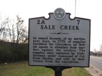
Photographed by Lee Hattabaugh, December 26, 2009
1. Sale Creek Marker
Erected by Tennessee Historical Commission. (Marker Number 2A 7.)
Topics and series. This historical marker is listed in these topic lists: Colonial Era • Indigenous Peoples and Communities • Settlements & Settlers. In addition, it is included in the Tennessee Historical Commission series list. A significant historical year for this entry is 1779.
Location. Marker is missing. It was located near 35° 22.986′ N, 85° 6.511′ W. Marker was in Sale Creek, Tennessee, in Hamilton County. It was in Bakewell. It was at the intersection of J Lon Foust Highway (U.S. 27) and New Leggett Road, on the right when traveling north on J Lon Foust Highway. Touch for map. Marker was in this post office area: Sale Creek TN 37373, United States of America. Touch for directions.

Regionally, this marker was in the American South, specifically in the Upper
this page online
Other nearby markers. At least 8 other markers are within 6 miles of this location, measured as the crow flies: Rhea County / Hamilton County (approx. 3.6 miles away); Graysville Academy (approx. 4.8 miles away); Blythe Ferry (approx. 5.3 miles away); a different marker also named Blythe Ferry (approx. 5.4 miles away); a different marker also named Blythe Ferry (approx. 5.9 miles away); This Venerable Oak Tree (approx. 6 miles away); General Winfield Scott (approx. 6 miles away); "Orders No. 25" (approx. 6 miles away).
Another marker is no longer nearby. Trail of Tears Cherokee (was approx. 5.9 miles away but has been confirmed missing).
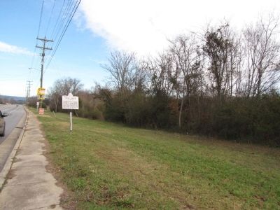
Photographed by Lee Hattabaugh, December 26, 2009
2. Sale Creek Marker
View of marker looking North on Hwy 27
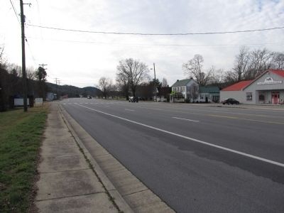
Photographed by Lee Hattabaugh, December 26, 2009
3. Sale Creek Marker
Looking South toward Patterson Rd intersection and town of Sale Creek.
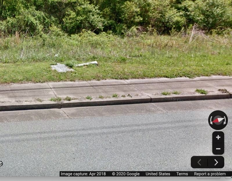
© Google Streetview Fair Use, April 2018
4. This snapshot from April, 2018 shows marker knocked down.
Credits. This page was last revised on February 7, 2023. It was originally submitted on December 30, 2009, by Lee Hattabaugh of Capshaw, Alabama. This page has been viewed 2,159 times since then and 104 times this year. Photos: 1, 2, 3. submitted on December 30, 2009, by Lee Hattabaugh of Capshaw, Alabama. 4. submitted on March 1, 2020. • Kevin W. was the editor who published this page.
