
Westbrook in Lower Connecticut River Valley Region, Connecticut — The American Northeast (New England)
Chapmans Pond
Photographed by Conrad Ward, June 16, 2024
1. Chapmans Pond Marker
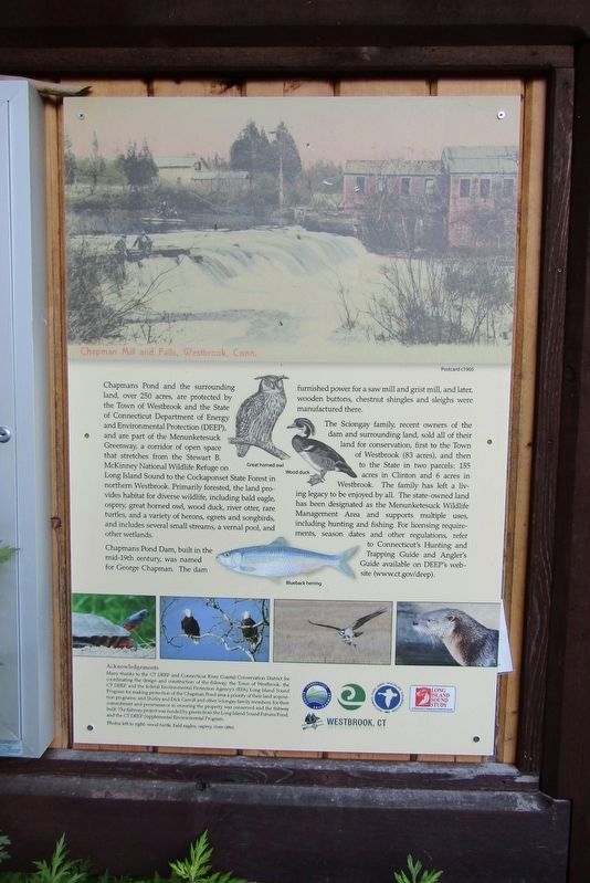
Chapmans Pond and the surrounding land, over 250 acres, are protected by the Town of Westbrook and the State of Connecticut Department of Energy and Environmental Protection (DEEP), and are part of the Menunketesuck Greenway a corridor of open space that stretches from the Stewart B. McKinney National Wildlife Refuge on Long Island Sound to the Cockaponset State Forest in northern Westbrook. Primarily forested, the land provides habitat for diverse wildlife, including bald eagle, osprey great horned owl, wood duck, river otter, rare turtles, and a variety of herons, egrets and songbirds, and includes several small streams, a vernal pool, and other wetlands.
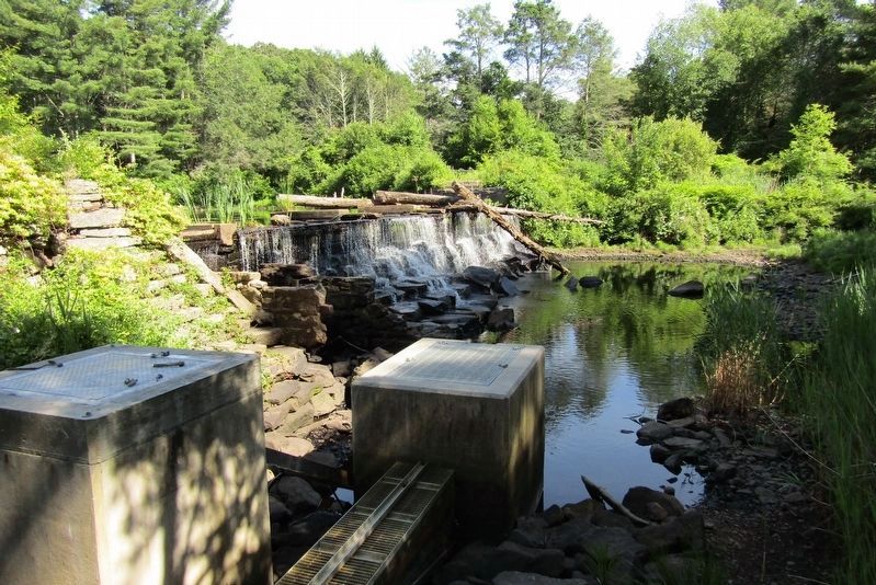
Chapmans Pond Dam, built in the mid-19th century, was named for George Chapman. The dam furnished power for a saw mill and grist mill and later wooden buttons, chestnut shingles and sleighs were manufactured there.
The Sciongay family, recent owners of the dam and surrounding land, sold all of their land for conservation, first to the Town of Westbrook (83 acres), and then to the State in two parcels: 155 acres in Clinton and 6 acres in Westbrook. The family has left a living legacy to be enjoyed by all. The state-owned land has been designated as the Menunketesuck Wildlife Management Area and supports multiple uses, including hunting and fishing. For licensing requirements, season dates and other regulations, refer to Connecticut's Hunting and Trapping Guide and Angler's Guide available on DEEP's website (www.ct.gov/deep).
( photo caption )
— Chapman Mill and Falls, Westbrook, Conn. Postcard c1905
Topics. This historical marker is listed in these topic lists: Environment • Industry & Commerce • Parks & Recreational Areas.
Location. 41° 17.685′ N, 72° 29.72′ W. Marker is in Westbrook
this page online

Regionally, this marker is in the Connecticut River Valley and on the Connecticut Shoreline. It is also in the American Northeast, in New England, and on the Eastern Seaboard. Globally, it is in the North Atlantic Region, North America, the Western Hemisphere, the Western World, and the Anglosphere. Historically, it finds itself in what was once Middlesex County and also one of the original Thirteen Colonies.
Other nearby markers. At least 8 other markers are within 2 miles of this marker, measured as the crow flies: Welcome to Kirtland Landing (approx. half a mile away); Beaver Brook Cemetery Veterans Monument (approx. one mile away); Salt Meadow Trail System (approx. 1.3 miles away); Lape-Read House (approx. 1.3 miles away); Enoch Murdock House (approx. 1.3 miles
Photographed by Conrad Ward, June 16, 2024
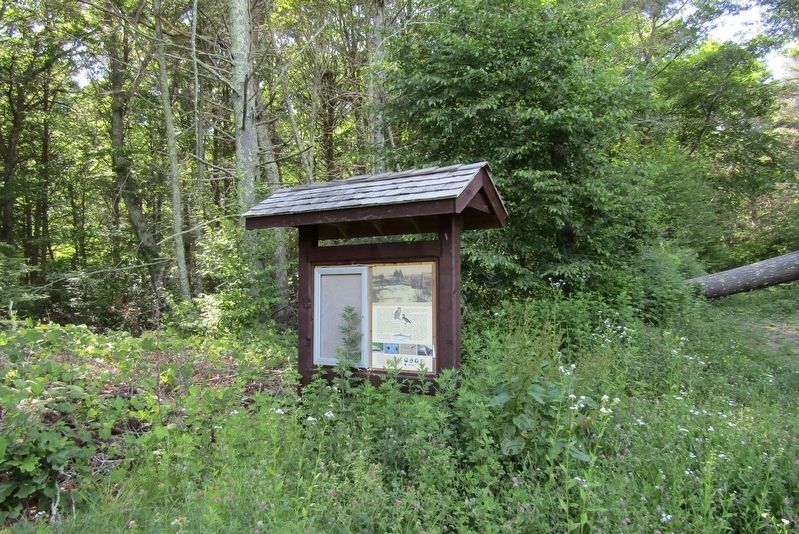
2. Chapmans Pond Marker
Photographed by Conrad Ward, June 16, 2024
3. Chapmans Pond Dam
The fish ladder is in the foreground.
Credits. This page was last revised on May 19, 2026. It was originally submitted on November 7, 2024, by Conrad Ward of Guilford, Connecticut. This page has been viewed 395 times since then and 106 times this year. Photos: 1, 2, 3. submitted on November 7, 2024, by Conrad Ward of Guilford, Connecticut. • Michael Herrick was the editor who published this page.
