Excelsior in Hennepin County, Minnesota — The American Midwest (Upper Plains)
The Excelsior Commons
| — | Excelsior | — |
Photographed by McGhiever, April 14, 2023
1. The Excelsior Commons Marker
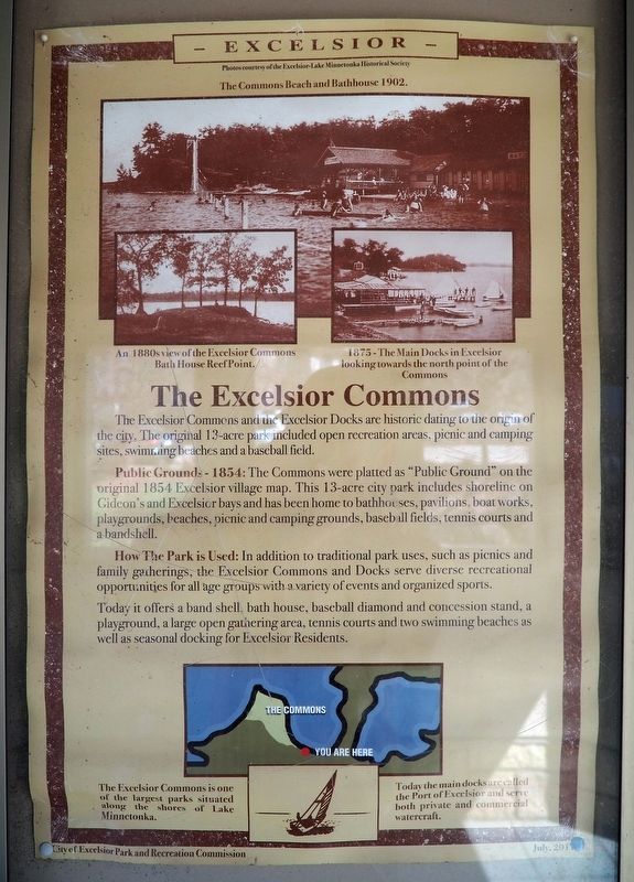
An 1880s view of the Excelsior Commons Bath House Reef Point.
1875-The Main Docks in Excelsior looking towards the north point of the Commons
The Excelsior Commons and the Excelsior Docks are historic dating to the origin of the city. The original 13-acre park included open recreation areas, picnic and camping sites, swimming beaches and a baseball field.
Public Grounds - 1854: The Commons were platted as "Public Ground" on the original 1854 Excelsior village map. This 13-acre city park includes shoreline on Gideon's and Excelsior bays and has been home to bathhouses, pavilions, boat works, playgrounds, beaches, picnic and camping grounds, baseball fields, tennis courts and a bandshell.
How The Park is Used: In addition to traditional park uses, such as picnics and family gatherings, the Excelsior Commons and Docks serve diverse recreational opportunities for all age groups with a variety of events and organized sports.
Today it offers a band shell, bath house, baseball diamond and concession stand, a playground, a large open gathering area, tennis courts and two
this page online
The Excelsior Commons is one of the largest parks situated along the shores of Lake Minnetonka.
Today the main docks are called the Port of Excelsior and serve both private and commercial watercraft.
Erected 2017 by City of Excelsior Park and Recreation Commission.
Topics. This historical marker is listed in these topic lists: Parks & Recreational Areas • Waterways & Vessels. A significant historical year for this entry is 1854.
Location. 44° 54.275′ N, 93° 33.908′ W. Marker is in Excelsior, Minnesota, in Hennepin County. It can be reached from the intersection of Water Street and Lake Street. The marker is inside the kiosk at the Port of Excelsior. Touch for map. Marker is at or near this postal address: 2 Water Street, Excelsior MN 55331, United States of America. Touch for directions.

Regionally, this marker is in the Twin Cities Metropolitan Area. It is also in the American Midwest, in the Corn Belt, and in the Great River Road Region. Globally, it is in North America, the Western Hemisphere, the Western World, and the Anglosphere. Historically,
Photographed by McGhiever, April 14, 2023
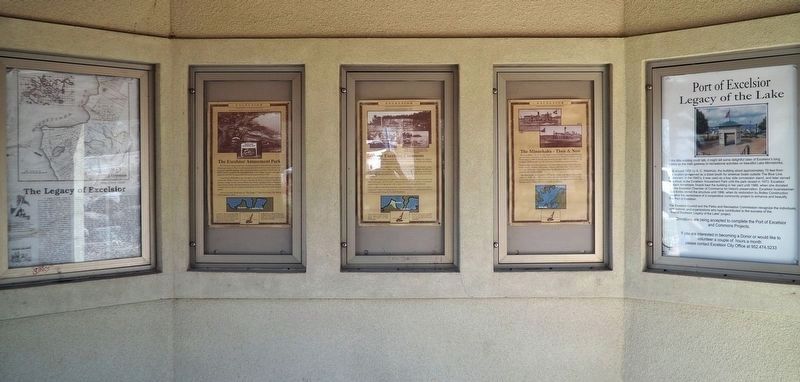
2. The Excelsior Commons Marker (center) inside the kiosk at the Port of Excelsior
Other nearby markers. At least 8 other markers are within walking distance of this marker: A History of Excelsior (here, next to this marker); The Excelsior Amusement Park (here, next to this marker); Big Island History (here, next to this marker); The Minnehaha - Then & Now (here, next to this marker); Excelsior - Who We Are (here, next to this marker); Your Are Here (here, next to this marker); The Legacy of Excelsior (here, next to this marker); Port of Excelsior (here, next to this marker). Touch for a list and map of all markers in Excelsior.
Credits. This page was last revised on November 8, 2024. It was originally submitted on November 8, 2024, by McGhiever of Minneapolis, Minnesota. This page has been viewed 209 times since then and 29 times this year. Photos: 1. submitted on November 8, 2024, by McGhiever of Minneapolis, Minnesota. 2. submitted on November 5, 2024, by McGhiever of Minneapolis, Minnesota.
