Marker Logo
THE HISTORICAL
MARKER DATABASE
“Bite-Size Bits of Local, National, and Global History”
Penetanguishene in Simcoe County, Ontario — Central Canada (North America)
 

Naval and Military Establishments on Lake Huron
⎯⎯⎯
Établissements navals et militaires du lac Huron
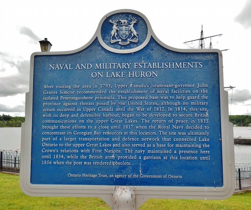
 
 
Naval and Military Establishments on Lake Huron<br>(<i>marker north side • English</i>) image. Click for full size.
Photographed by Cosmos Mariner, June 7, 2024
1. Naval and Military Establishments on Lake Huron
(marker north side • English)
Inscription.  
[English]  After visiting the area in 1793, Upper Canada's lieutenant-governor John Graves Simcoe recommended the establishment of naval facilities on the isolated Penetanguishene peninsula. This proposed base was to help guard the province against threats posed by the United States, although no military action occurred in Upper Canada until the War of 1812. In 1814, this site, with its deep and defensible harbour, began to be developed to secure British communications on the upper Great Lakes. The return of peace in 1815 brought these efforts to a close until 1817 when the Royal Navy decided to concentrate its Georgian Bay resources at this location. The site was ultimately part of a larger transportation and defence network that connected Lake Ontario to the upper Great Lakes and also served as a base for maintaining the Crown's relations with First Nations. The navy maintained a presence here until 1834, while the British army provided a garrison at this location until 1856 when the post was rendered obsolete.

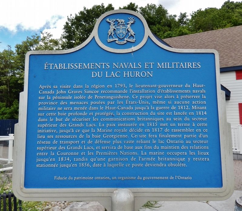
[Français]  Après sa visite dans la région en 1793, le lieutenant-gouverneur du Haut-Canada John Graves Simcoe recommande l'installation d'établissements navals sur la péninsule isolée de Penetanguishene. Ce projet vise alors à préserver la province des menaces posées par les États-Unis, même si aucune action militaire ne sera menée dans le Haut-Canada jusqu'à la guerre de 1812. Misant sur cette baie profonde et protégée, la construction du site est lancée en 1814 dans le but de sécuriser les communications britanniques au sein du secteur supérieur des Grands Lacs. La paix instaurée en 1815 met un terme à cette initiative, jusqu'à ce que la Marine royale décide en 1817 de rassembler en ce lieu ses ressources de la baie Georgienne. Ce site fera finalement partie d'un réseau de transport et de défense plus vaste reliant le lac Ontario au secteur supérieur des Grands Lacs, et servira de base aux fins du maintien des relations entre la Couronne et les Premières Nations. La marine occupera les lieux jusqu'en 1834, tandis qu'une garnison de l'armée britannique y restera stationnée jusqu'en 1856, date à laquelle ce poste deviendra obsolète.
 
Erected by Ontario
Paid Advertisement
Click or scan to see
this page online
Heritage Trust / Fiducie du patrimoine ontarien.
 
Topics and series. This historical marker is listed in these topic lists: Colonial EraWar of 1812Waterways & Vessels. In addition, it is included in the Canada, Ontario Heritage Trust series list. A significant historical year for this entry is 1793.
 
Location. 44° 47.993′ N, 79° 55.955′ W. Marker is in Penetanguishene, Ontario, in Simcoe County. It is on Jury Drive 0.8 kilometers north of Broad Street. The marker is located in front of the Discovery Harbour Visitor Center. Touch for map. Marker is at or near this postal address: 93 Jury Drive, Penetanguishene ON L9M 1G1, Canada. Touch for directions.

Regionally, this marker is in Central Ontario Cottage Country and specifically in Georgian Bay Country. It is also in Central Canada. Globally, it is in North America, the Western Hemisphere, the Western World, and the Anglosphere. Historically, it finds itself in what was once a British colony, the Viceroyalty of New France, the Haudenosaunee (Iroquois) Confederacy, and Rupert’s Land.

Other nearby markers. At least 8 other markers are within 3 kilometers
Établissements navals et militaires du lac Huron<br>(<i>marker south side • Français</i>) image. Click for full size.
Photographed by Cosmos Mariner, June 7, 2024
2. Établissements navals et militaires du lac Huron
(marker south side • Français)
of this marker, measured as the crow flies: Métis Dwelling / Demeure Métis (about 90 meters away, measured in a direct line); Henry Wolsey Bayfield (approx. 0.3 kilometers away); James Keating (approx. half a kilometer away); “Tigress” — “Scorpion” (approx. one kilometer away); Huronia Park (approx. 1.1 kilometers away); St. James-on-the-Lines (approx. 1.5 kilometers away); C. Beck Manufacturing Company / la société C. Beck Manufacturing Co. Ltd. (approx. 2.8 kilometers away); Penetanguishene Tercentenary Polar Sea Expedition (approx. 3.1 kilometers away). Touch for a list and map of all markers in Penetanguishene.
 
Also see . . .  Penetanguishene Naval Yard (Wikipedia).
Excerpt:  Penetanguishene Naval Yard was a Royal Navy yard from 1834 to 1856 in Ontario. Land was first acquired in 1798 near Penetanguishene and a base finally built in 1813, but it was abandoned in 1815 at the end of the War of 1812. It was reinstated in 1816 and remained in naval service until 1834. The base served as the headquarters of the Lake Huron fleet of the Provincial Marine until 1834. The navy transferred the base to the army and continued
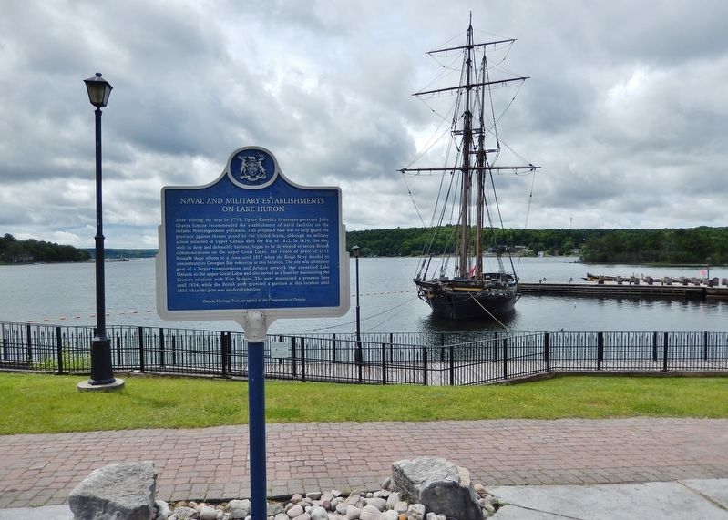
Naval and Military Establishments on Lake Huron Marker image. Click for full size.
Photographed by Cosmos Mariner, June 7, 2024
3. Naval and Military Establishments on Lake Huron Marker
Looking southwest; Penetang Harbour is in the background.
until 1856. The base also served northwestern supply routes and provided general surveillance of the upper Great Lakes.

The base is now rebuilt as part of the Penetanguishene's Historic Naval and Military Establishment. B. Napier Simpson Jr. 1925–1978, a restoration architect in Ontario devoted his professional life to raising public awareness of the importance of heritage conservation including the Penetanguishene's Historic Naval and Military Establishment. project, now known as Discovery Harbour.
(Submitted on November 9, 2024, by Cosmos Mariner of Cape Canaveral, Florida.) 
 
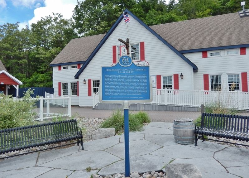
Établissements navals et militaires du lac Huron Marker image. Click for full size.
Photographed by Cosmos Mariner, June 7, 2024
4. Établissements navals et militaires du lac Huron Marker
Looking northeast; Discovery Harbour Visitor Center is in the background
 
 
Credits. This page was last revised on November 9, 2024. It was originally submitted on November 8, 2024, by Cosmos Mariner of Cape Canaveral, Florida. This page has been viewed 121 times since then and 15 times this year. Photos:   1, 2, 3, 4. submitted on November 9, 2024, by Cosmos Mariner of Cape Canaveral, Florida.

m=260500

CeraNet Cloud Computing sponsors the Historical Marker Database.
This website earns income from purchases you make after using our links to Amazon.com. We appreciate your support.
Paid Advertisement
Jul. 12, 2026