Near Kirkville in Onondaga County, New York — The American Northeast (Mid-Atlantic)
The Erie Route West

Photographed by Barry Swackhamer, May 18, 2022
1. The Erie Route West Marker
Captions:(center-left) Coal boat docked at Manlius Center, ca. 1920, looking east. The old store of Calvin Abbott is just visible at the upper left. Abbott's store once stood where this park is. The store is interpreted on another sign.; (bottom-left) 1895 Erie Canal enlargement at Manlius Center, looking west. Note the old store of Calvin Abbott at the upper right.; (map at center) 1860 Geddes Geological Map of Onondaga County, showing limestone ("plaster") deposits in the hills south of the canal.; (map at upper right) 1855 Map of Onondaga County showing Manlius Center in relation to Fayetteville and Manlius. The Erie Canal is highlighted in red, the Limestone Creek feeder in blue.; (middle-right) Canal excursion boat leaving Fayetteville for Green Lakes, vis Manlius Center, ca. 1910.
With the canals came the rise of Syracuse and nearby salt-producing settlements. Other villages grew wherever a highway or water connection attracted commerce. Manlius Center occupied a busy crossroad directly on the Erie, while Fayetteville and Manlius were sustained by a canal feeder from Limestone Creek that also served as a navigation link.
The great promise of the Erie Canal for long distance commerce, far outstripping the turnpikes and early water routes in speed, cost, and reliability, brought immediate growth to Onondaga County. Linking the Hudson River and Lake Erie by 1825, the canal established national markets for Onondaga's salt and gypsum industries.
this page online
(sidebar on right)
Topics. This historical marker is listed in these topic lists: Man-Made Features • Waterways & Vessels.
Location. 43° 3.235′ N, 76° 0.017′ W. Marker is near Kirkville, New York, in Onondaga County. It is at the intersection of Manlius Center Road (New York State Route 290) and Minoa Road, on the left when traveling south on Manlius Center Road. Touch for map. Marker is at or near this postal address: 7555 Manlius Center Road, Kirkville NY 13082, United States of America. Touch for directions.

Regionally, this marker is in Upstate New York, specifically in Central New York,

Photographed by Barry Swackhamer, May 18, 2022
2. The Erie Canal at Manlius Center
Other nearby markers. At least 8 other markers are within 2 miles of this marker, measured as the crow flies: The Erie Canal - Canvass White (a few steps from this marker); Shoemaker Cemetery (approx. 1½ miles away); Fayetteville (approx. 1.6 miles away); Minoa Veterans Memorial (approx. 1.6 miles away); a different marker also named Minoa Veterans Memorial (approx. 1.6 miles away); Minoa World War I Memorial (approx. 1.6 miles away); Grover Cleveland (approx. 1.7 miles away); Matilda Joslyn Gage (approx. 1.8 miles away).
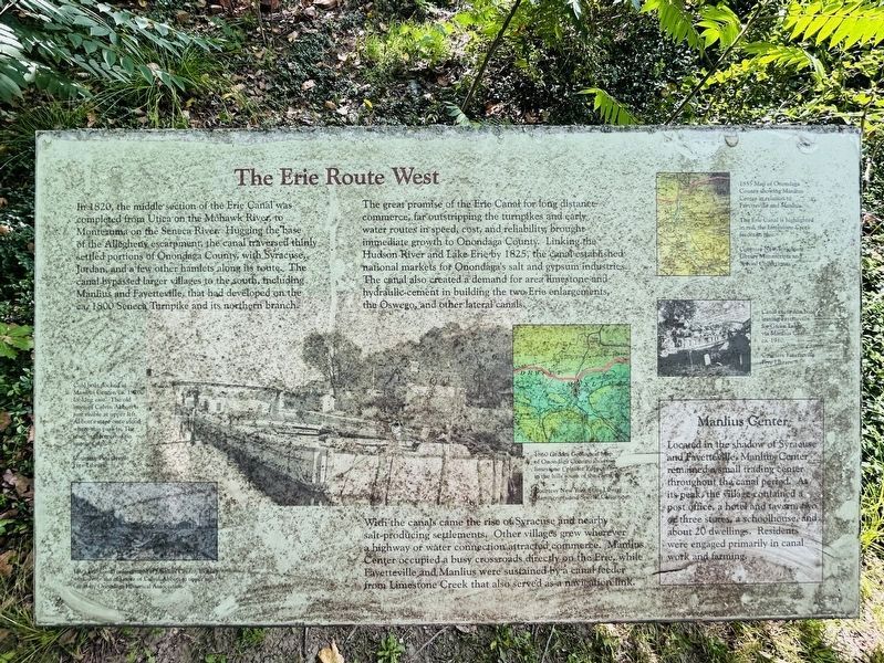
Photographed by Susan A. Dalaba, August 13, 2026
3. The Erie Route West Marker - Updated Photo
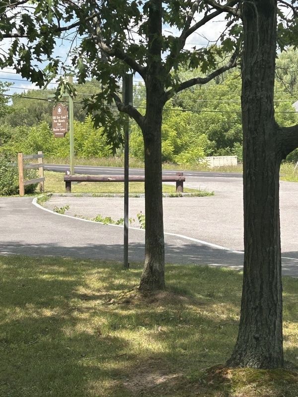
Photographed by Susan A. Dalaba, August 13, 2026
4. The Erie Route West Marker - Entrance to the Old Erie Canal State Historic Park
Credits. This page was last revised on August 21, 2026. It was originally submitted on November 16, 2024, by Barry Swackhamer of Brentwood, California. This page has been viewed 184 times since then and 35 times this year. Photos: 1, 2. submitted on November 16, 2024, by Barry Swackhamer of Brentwood, California. 3, 4. submitted on August 19, 2026, by Susan A. Dalaba of Cortland, New York.
