
Golden Gate in Chicago in Cook County, Illinois — The American Midwest (Great Lakes)
Pathways to Freedom: The Underground Railroad in Chicago

Photographed by Sean P. Flynn, November 16, 2024
1. Pathways to Freedom: The Underground Railroad in Chicago Marker
Prior to the Civil War, an estimated 3,000 to 4,500 African descendants traveled to the Chicago region to escape slavery in the South. Responding to their journeys, Black and White abolitionists in Chicago and across the region formed networks of support that became the Underground Railroad. From the 1830s until the Civil War the work of these activists along with the convergence of waterways, roads, and railroads made Chicago a pivotal juncture in the Underground Railroad.
Black families, some with children, and individuals often traveling on their own, came up through Illinois with many coming to Chicago, then the size of the Loop. From there, they journeyed by boat over Lake Michigan or overland following the historic Detroit-Chicago Road (now U.S. 12). Those on the road traveled south from Chicago through present day Riverdale, crossing the Little Calumet River and into northwest Indiana and across southern Michigan. It is estimated that between 500 and 800 followed this path to the U.S.-Canada border.
During the time of the Underground Railroad, the area around this part of the Little Calumet River was mostly
this page online
Underground Railroad Corridors
Detroit-Chicago Road - In the 1820s, the federal government built the Detroit-Chicago Road as a military and commercial highway. Following the 1832 Black Hawk War, the Treaty of Chicago in 1833, and with these the forced removal of indigenous people from their ancestral homelands, families from New York and New England settled on this land along the Little Calumet River. in the late 1840s, they were joined by Dutch settlers. The road crossed the Little Calumet River at what is now the Indiana Avenue Bridge. Some who had escaped their enslavement and were traveling on from Chicago found accommodations and aid from farm families along this corridor, including the Tons
Photographed by Sean P. Flynn, November 16, 2024
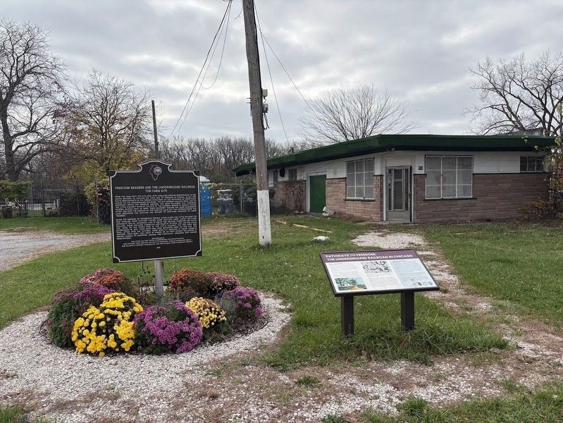
2. Two markers at the Ton Farm site
The Illinois State Historical Society marker is on the left; on the right is an earlier marker about the site.
Historic Illinois Central Railroad After 1856, at least 100 escaping African descendants traveled on this railroad from Cairo and southern Illinois, some hidden and others as ticket holders on their way to Chicago.
Railroads east of this site - The Michigan Central and Michigan Southern Railroads completed railway connections into Chicago in 1852. They became additional options for the movement of Black freedom seekers on their way to Detroit.
Erected 2022 by National Park Service Network to Freedom; Calumet Heritage Area; Chicago's Finest Marina.
Topics and series. This historical marker is listed in these topic lists: Abolition & Underground RR • African Americans • Settlements & Settlers • Wars, US Indian. In addition, it is included in the Black Hawk War, and the Network to Freedom series lists. A significant historical year for this entry is 1832.
Location. 41° 39.051′ N, 87° 36.46′ W. Marker is in Chicago, Illinois, in Cook County. It is in Golden Gate. It is at the intersection of 134th Place and St. Lawrence Avenue, on the right when traveling east on 134th Place. The marker is in front
Photographed by Sean P. Flynn, November 16, 2024
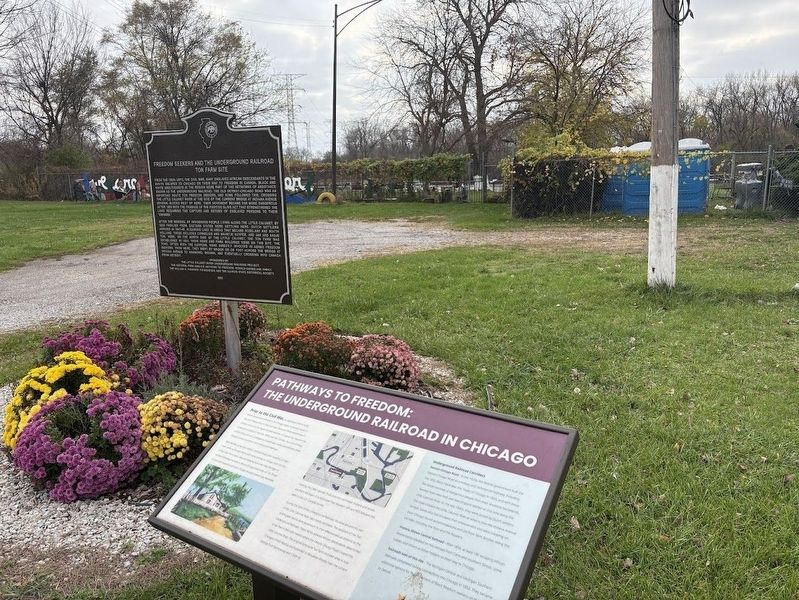
3. Ton Farm site
The Little Calumet River is just beyond the fence, about 200 feet away from these markers.

Regionally, this marker is in Illinois’ Calumet Region. It is also in the American Midwest. Globally, it is in North America, on the Great Lakes, in the Western Hemisphere, in the Western World, and in the Anglosphere. Historically, it finds itself in what was once the Viceroyalty of New France, the territory of the Mississippian Culture, and the Northwest Territory.
Other nearby markers. At least 8 other markers are within 3 miles of this marker, measured as the crow flies: Freedom Seekers and the Underground Railroad: Ton Farm Site (here, next to this marker); Activists in the Anti-Slavery Movement (within shouting distance of this marker); Arcade Park & The Pullman Stables (approx. 2.8 miles away); Pullman 1894 Strike Memorial Rose & Herb Garden (approx. 2.8 miles away); The Arcade (approx. 2.8 miles away); The Pullman Freight Depot & The Gas Works (approx. 2.9 miles away); Lake Vista & Illinois Central Railroad Depot (approx. 2.9 miles away);
Photographed by Sean P. Flynn, November 16, 2024
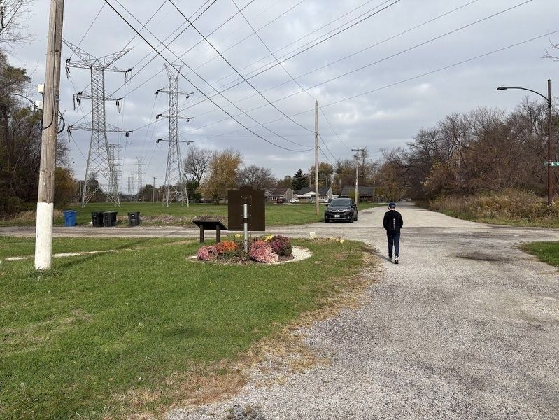
4. Ton Farm site markers from the rear
A rear view of the marker, with the southern edge of the Golden Gate neighborhood beyond the transmission towers.
More about this marker. An Illinois State Historical Society marker is just to the right of this one; at least three more markers are a short walk south, next to the Little Calumet River on private land that was inaccessible behind a fence as of November 2024. These are most likely the southernmost historical markers inside Chicago's city limits; the city's farthest southern boundary is less than a half-mile south of here at 138th Street.
The marker is on the southern edge of a neighborhood called Golden Gate, a quiet residential section of the Riverdale community on Chicago's far south side, about 20 miles due south of the city's downtown. While the name obviously hearkens to the famous bridge and park in San Francisco, the moniker is most likely related to a golden archway that was built over the neighborhood entrance when it was built in 1964 but was removed many years ago. According to an August 1964 article in the Chicago Tribune, the Golden Gate neighborhood was developed by the Arjack Company, a home construction firm, which built 1,400 homes on 112 acres. The $20 million neighborhood "welcomes all families on an open housing concept," the article said, meaning that it was open to people of all races.
Regarding Pathways to Freedom: The Underground Railroad in Chicago. This site was added to the National Park Service Network to Freedom in 2022.
Also see . . .
1. Jan and Aagje Ton Farm Site. From the Illinois Underground Railroad website (Submitted on November 17, 2024, by Sean P. Flynn of Oak Park, Illinois.)
2. National Park Service: Jan and Aagje Ton Farm. (Submitted on November 17, 2024, by Sean P. Flynn of Oak Park, Illinois.)
Credits. This page was last revised on July 5, 2025. It was originally submitted on November 17, 2024, by Sean P. Flynn of Oak Park, Illinois. This page has been viewed 808 times since then and 99 times this year. Photos: 1, 2, 3, 4. submitted on November 17, 2024, by Sean P. Flynn of Oak Park, Illinois.
