Vandalia in Montgomery County, Ohio — The American Midwest (Great Lakes)
Henry Seger Community Park
Vandalia, Ohio
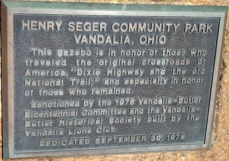
Photographed by Craig Doda, October 27, 2024
1. Henry Seger Community Park Marker
This gazebo is in honor of those who traveled the original crossroads of America, "Dixie Highway and the old National Trail;" and especially in honor of those who remained.
Erected 1976 by Vandalia Lions Club; sanctioned by the Vandalia-Butler Bicentennial Committee and the Vandalia-Butler Historical Society.
Topics. This historical marker is listed in these topic lists: Parks & Recreational Areas • Roads & Vehicles • Settlements & Settlers.
Location. 39° 53.364′ N, 84° 11.86′ W. Marker is in Vandalia, Ohio, in Montgomery County. It is at the intersection of South Tionda Drive and South Perry Street, on the right when traveling west on South Tionda Drive. Touch for map. Marker is at or near this postal address: 21 S Tionda Dr, Vandalia OH 45377, United States of America. Touch for directions.

Regionally, this marker is in Ohio’s Dayton Metro and in the Miami Valley. It is also in the American Midwest and in the Corn Belt. Globally, it is in North America, the Western Hemisphere, the Western World, and the Anglosphere. Historically, it
this page online
Other nearby markers. At least 8 other markers are within 2 miles of this marker, measured as the crow flies: The Crossroads of America (about 800 feet away, measured in a direct line); Cpl. John B. Buckmaster (approx. 1½ miles away); World War II Veterans Memorial (approx. 1½ miles away); Vandalia-Butler Persian Gulf Veterans Memorial (approx. 1.6 miles away); Vandalia Veterans Memorial (approx. 1.6 miles away); Tadmor - Taylorsville (approx. 1.7 miles away); Taylorsville Metropark (approx. 1.7 miles away); Taylorsville Metropark - Metroparks Park System (approx. 1.7 miles away). Touch for a list and map of all markers in Vandalia.
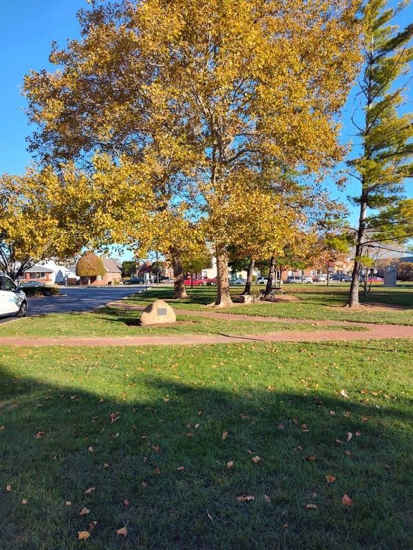
Photographed by Craig Doda, October 27, 2024
2. Henry Seger Community Park Marker
Credits. This page was last revised on November 19, 2024. It was originally submitted on November 18, 2024, by Craig Doda of Napoleon, Ohio. This page has been viewed 188 times since then and 34 times this year. Photos: 1, 2. submitted on November 18, 2024, by Craig Doda of Napoleon, Ohio. • Devry Becker Jones was the editor who published this page.
