Near Sand Hill in Muskogee County, Oklahoma — The American South (West South Central)
Battle of Greenleaf Prairie

Photographed by Michael Manning, November 19, 2024
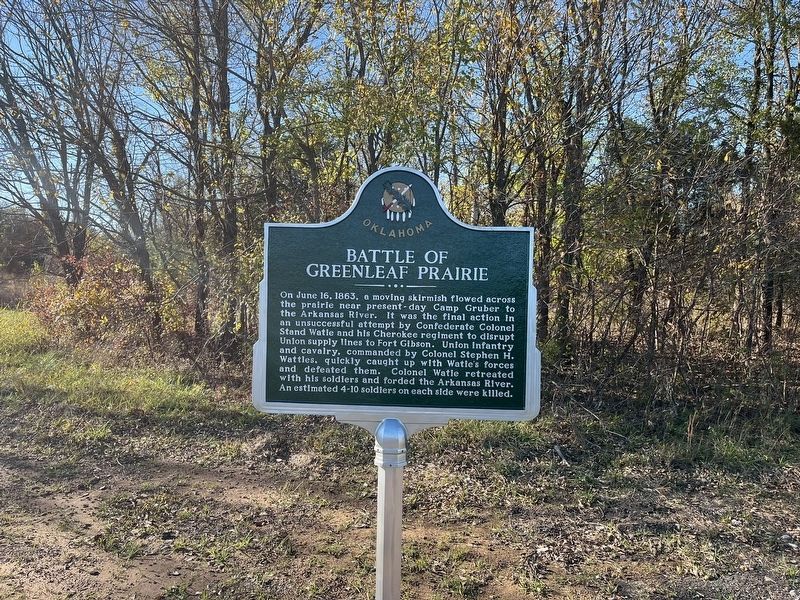
1. Battle of Greenleaf Prairie Marker
On June 16, 1863, a moving skirmish flowed across the prairie near present-day Camp Gruber to the Arkansas River. It was the final action in an unsuccessful attempt by Confederate Colonel Stand Watie and his Cherokee regiment to disrupt Union supply lines to Fort Gibson. Union infantry and cavalry, commanded by Colonel Stephen H. Wattles, quickly caught up with Watie's forces and defeated them. Colonel Watie retreated with his soldiers and forded the Arkansas River. An estimated 4-10 soldiers on each side were killed.
Erected 2024 by State of Oklahoma.
Topics. This historical marker is listed in these topic lists: Indigenous Peoples and Communities • War, US Civil. A significant historical date for this entry is June 16, 1863.
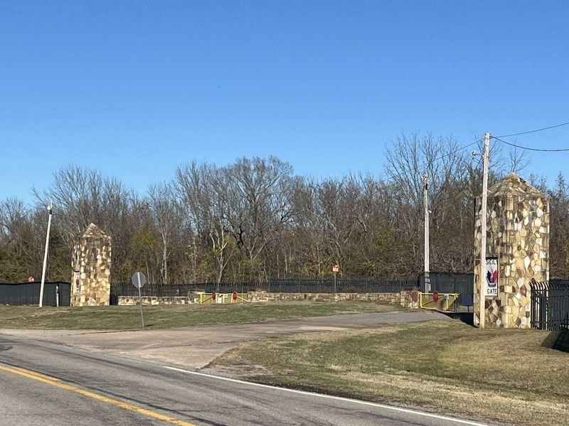
Location. 35° 40.947′ N, 95° 12.205′ W. Marker is near Sand Hill, Oklahoma, in Muskogee County. It is on Oklahoma Route 10 one mile north of East 63rd Street, on the left when traveling north. Marker is located opposite the Sicily Gate of Camp Gruber Training Center, OK Army National Guard. Touch for map. Marker is in this post office area: Braggs OK 74423, United States of America. Touch for directions.

Regionally,
this page online
Other nearby markers. At least 8 other markers are within 9 miles of this marker, measured as the crow flies: Revolutionary War Patriots (approx. 8.4 miles away); Fort Gibson (approx. 8.4 miles away); History of the Church Bell (approx. 8½ miles away); Fort Gibson National Cemetery (approx. 8.6 miles away); A National Cemetery System (approx. 8.6 miles away); Ultimate Sacrifice (approx. 8.6 miles away); a different marker also named Fort Gibson (approx. 8.9 miles away); Telephones in 1886 (approx. 8.9 miles away).
Photographed by Michael Manning, November 19, 2024
2. Battle of Greenleaf Prairie Marker
Photographed by Michael Manning, November 19, 2024
3. Battle of Greenleaf Prairie Marker
Camp Gruber Anzio Gate
Photographed by Michael Manning, November 19, 2024
4. Battle of Greenleaf Prairie Marker
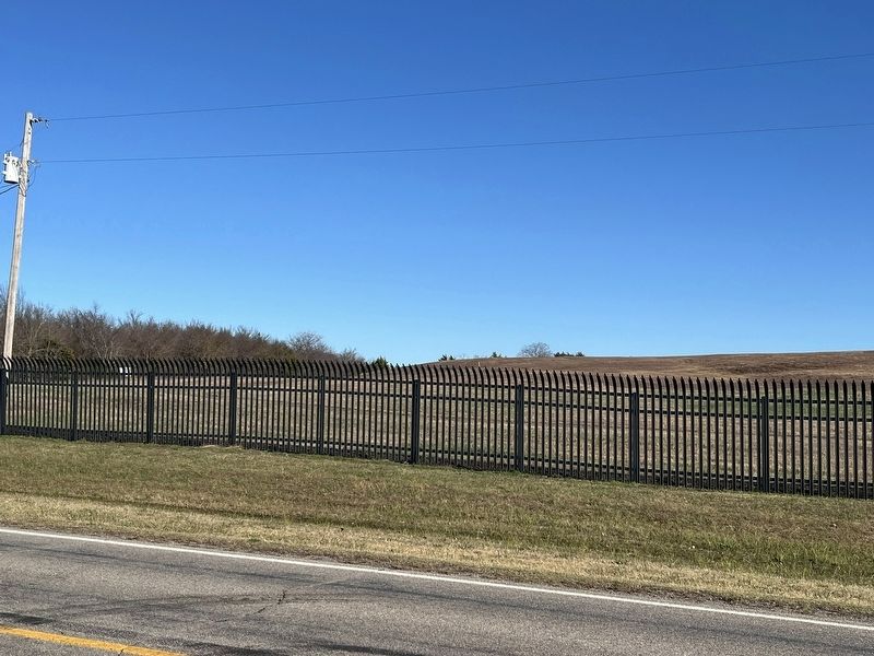
Greenleaf Prairie on Camp Gruber from marker.
Photographed by Michael Manning, November 19, 2024
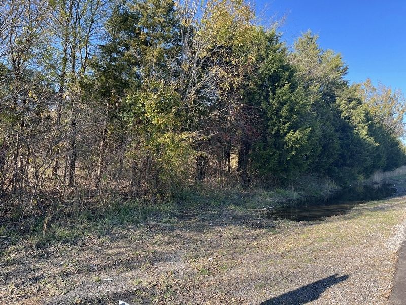
5. Battle of Greenleaf Prairie Marker
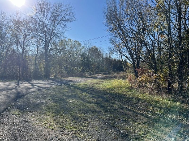
Looking towards the Arkansas River crossing from the marker location.
Photographed by Michael Manning, November 19, 2024
6. Battle of Greenleaf Prairie Marker
A different view to the west from the marker.
Credits. This page was last revised on November 20, 2024. It was originally submitted on November 20, 2024, by Michael Manning of Woodlawn, Tennessee. This page has been viewed 545 times since then and 80 times this year. Photos: 1, 2, 3, 4, 5, 6. submitted on November 20, 2024, by Michael Manning of Woodlawn, Tennessee. • Bernard Fisher was the editor who published this page.
