Paris in Brant in Brant County, Ontario — Central Canada (North America)
The Grand River
Canadian Heritage Rivers System
⎯⎯⎯
Le réseau du patrimoine canadien

Photographed by Tim Boyd, November 22, 2024
1. The Grand River Marker
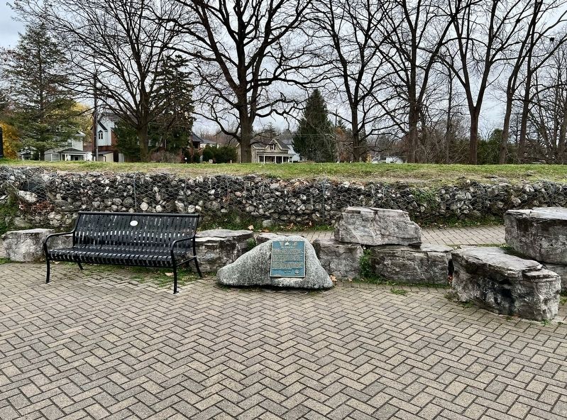
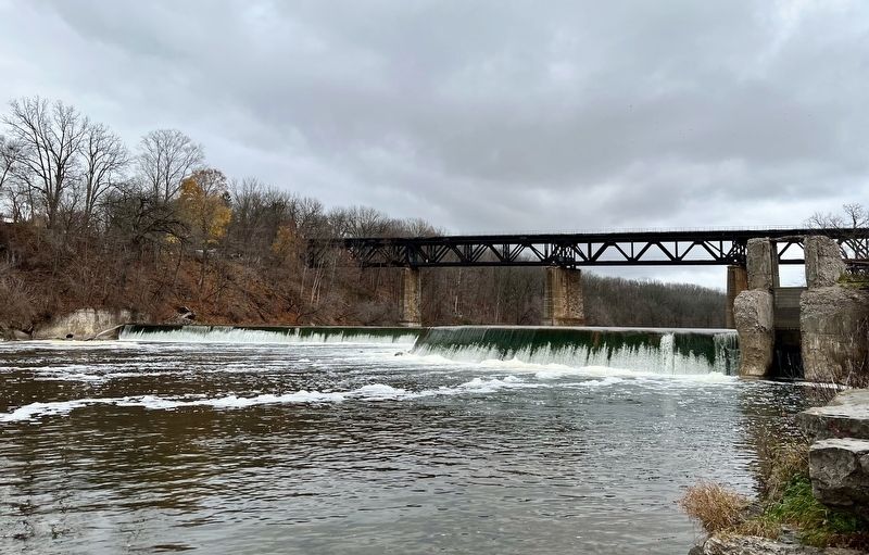
The Grand River is aptly named. Flowing 290 kilometres from the Dundalk Highlands to Lake Erie, its watershed is the largest in Southern Ontario. Winding its way through marshes, woods and Carolinian forests, the river provides the common thread that links a harmonious blend of natural and cultural landscapes.
A mosaic of Aboriginal and European cultures combined to shape the valley's character. Fine examples of nineteenth century architecture still remain in many rural and urban communities. This is typified by the unique cobblestone buildings in Paris, an historic Brant County community founded in 1850 at the junction of the Grand and Nith Rivers.
The designation of the Grand as a Canadian Heritage River in 1994, was built on a local trad tion of cooperative watershed management to preserve the valley's natural beauty, cultural diversity, and recreational opportunities. This plaque is testimony to all those people who are working together to make the Grand River an ever better place in which to live, work and play.
Erected 2000 by County of Brant.
Topics. This historical marker is listed in these topic
this page online
Location. 43° 11.791′ N, 80° 22.93′ W. Marker is in Brant, Ontario, in Brant County. It is in Paris. It is on Elm Street 0.1 kilometers south of Willow Street, on the right when traveling south. The marker is on the Paris to Cambridge Trail. Touch for map. Marker is at or near this postal address: 39 Elm Street, Brant ON N3L 2L7, Canada. Touch for directions.

Regionally, this marker is in the Hamilton-Halton-Brant Area and in Southwestern Ontario. It is also in Central Canada. Globally, it is in North America, the Western Hemisphere, the Western World, and the Anglosphere. Historically, it finds itself in what was once a British colony, the Viceroyalty of New France, the Haudenosaunee (Iroquois) Confederacy, and Rupert’s Land.
Other nearby markers. At least 8 other markers are within 8 kilometers of this marker, measured as the crow flies: Syl Apps (1915-1998) (approx. 0.3 kilometers away); Alexander Graham Bell (approx. 0.3 kilometers away); “King” Capron 1796-1872 (approx. half a kilometer
Photographed by Tim Boyd, November 22, 2024
2. The Grand River Marker
Photographed by Tim Boyd, November 22, 2024
3. The Grand River in Paris, facing north

Photographed by Tim Boyd, November 22, 2024
4. The Grand River in Paris , facing south
Credits. This page was last revised on November 26, 2024. It was originally submitted on November 23, 2024, by Tim Boyd of Hamilton, Ontario. This page has been viewed 201 times since then and 55 times this year. Photos: 1, 2, 3, 4. submitted on November 23, 2024, by Tim Boyd of Hamilton, Ontario. • Andrew Ruppenstein was the editor who published this page.
