Fort Frances in Rainy River District, Ontario — Central Canada (North America)
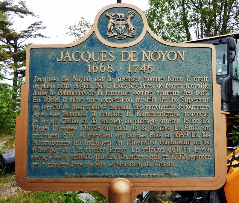
Jacques de Noyon
1668-1745

Photographed by Cosmos Mariner, June 16, 2024
1. Jacques de Noyon (marker south side • English)

this page online
Erected by Ontario Heritage Foundation / Fondation du patrimoine ontarien.
Topics and series. This historical marker is listed in these topic lists: Exploration • Indigenous Peoples and Communities • Industry & Commerce • Waterways & Vessels. In addition, it is included in the Canada, Ontario Heritage Trust series list. A significant historical year for this entry is 1688.
Location. 48° 39.178′ N, 93° 18.421′ W. Marker is in Fort Frances, Ontario, in Rainy River District. It can be reached from Trans-Canada Highway (Noden Causeway) (Provincial Highway 11) 4.6 kilometers east of Frog Creek Road (Couchiching Road), on the left when traveling east. The marker is located at the Noden Causeway boat launch and wayside on Rainy Lake. Touch for map. Marker is in this post office area: Fort Frances ON P9A 3M2, Canada. Touch for directions.

Regionally,
Photographed by Cosmos Mariner, June 16, 2024
2. Jacques de Noyon (marker north side • Français)
Other nearby markers. At least 8 other markers are within 6 kilometers of this marker, measured as the crow flies: Robert J. N. Pither (approx. 5.5 kilometers away); Fort St. Pierre / Le Fort Saint-Pierre (approx. 5.5 kilometers away); Sieur De La Vérendrye (1685- 1749) (approx. 5.5 kilometers away); Calder History (approx. 5.6 kilometers away); Edmund C. Woods Sr. (approx. 5.7 kilometers away in the U.S.); The Story of Big Vic (approx. 5.7 kilometers away in the U.S.); Pelts, Paddles and Portages (approx. 6.3 kilometers away); Explore Fort Frances East (approx. 6.3 kilometers away). Touch for a list and map of all markers in Fort Frances.
Also see . . . Jacques de Noyon (Wikipedia).
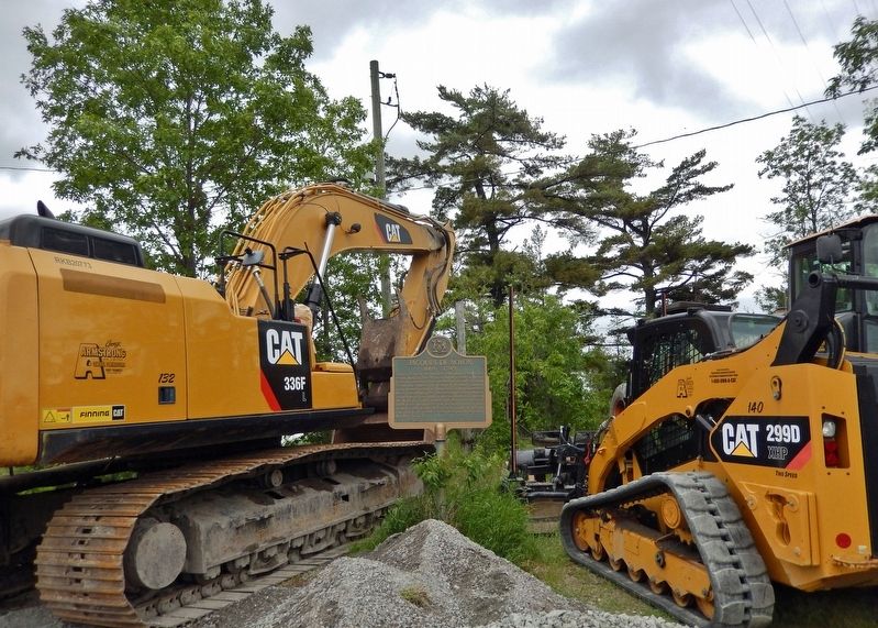
Excerpt: A French Canadian explorer, sergeant(Submitted on November 27, 2024, by Cosmos Mariner of Cape Canaveral, Florida.)and coureur des bois. He is the first known European to visit the Boundary Waters region west of Lake Superior. In 1688, de Noyon and three others traveled from the Montreal area to Fort Caministigoyan on Lake Superior, located at present-day Thunder Bay, Ontario. From there they traveled inland up the Kaministiquia River. His group followed the Indigenous canoe route over the Laurentian Divide, past the present-day site of Atikokan, Ontario, through what is now Quetico Provincial Park and Voyageurs National Park, Minnesota. He built a fort, established ties to the local Assiniboine people, and spent the winter on the shore of Rainy Lake.Photographed by Cosmos Mariner, June 16, 20243. Jacques de Noyon MarkerThe marker was surrounded by parked road equipment at the time of these photos, as the wayside was being repaved.

Photographed by Cosmos Mariner, June 16, 2024
4. Jacques de Noyon Marker
Looking north across the wayside; Rainy Lake is in the background.
Credits. This page was last revised on November 27, 2024. It was originally submitted on November 26, 2024, by Cosmos Mariner of Cape Canaveral, Florida. This page has been viewed 191 times since then and 35 times this year. Photos: 1, 2, 3, 4. submitted on November 27, 2024, by Cosmos Mariner of Cape Canaveral, Florida.
