Waynesville in Haywood County, North Carolina — The American South (South Atlantic)
Historic Arch
Metalsmith Ted Dake
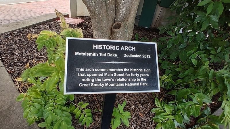
Photographed by Mark Parker, July 14, 2022
1. Historic Arch Marker
Erected 2012.
Topics. This historical marker is listed in these topic lists: Man-Made Features • Parks & Recreational Areas.
Location. 35° 29.532′ N, 82° 59.219′ W. Marker is in Waynesville, North Carolina, in Haywood County. It is at the intersection of North Main Street (U.S. 276) and Depot Street on North Main Street. The marker is in a planter at the entrance to Gateway to the Smokies Plaza. Touch for map. Marker is at or near this postal address: 177 N Main Street, Waynesville NC 28786, United States of America. Touch for directions.

Regionally, this marker is in the Mountains, specifically in Greater Asheville, and in the Great Smoky Mountains. It is also in the American South, specifically in the Upper South, in Appalachia, and specifically in Southern Appalachia. Globally, it is in North America, the Western Hemisphere, the Western World, and the Anglosphere. Historically, it finds
this page online
Other nearby markers. At least 8 other markers are within walking distance of this marker: Haywood County Confederate Memorial (within shouting distance of this marker); Century Vault (within shouting distance of this marker); Haywood County Veterans Monument (within shouting distance of this marker); Haywood County Korean War Memorial (within shouting distance of this marker); First American Veterans Monument (within shouting distance of this marker); Haywood County Quilt Trails (within shouting distance of this marker); N.C. Education Association (within shouting distance of this marker); Haywood County Vietnam War Memorial (within shouting distance of this marker). Touch for a list and map of all markers in Waynesville.
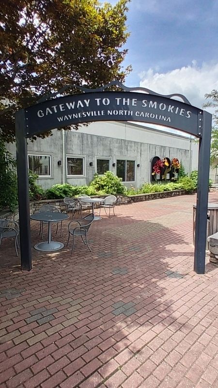
Photographed by Mark Parker, July 14, 2022
2. Gateway to the Smokies Arch
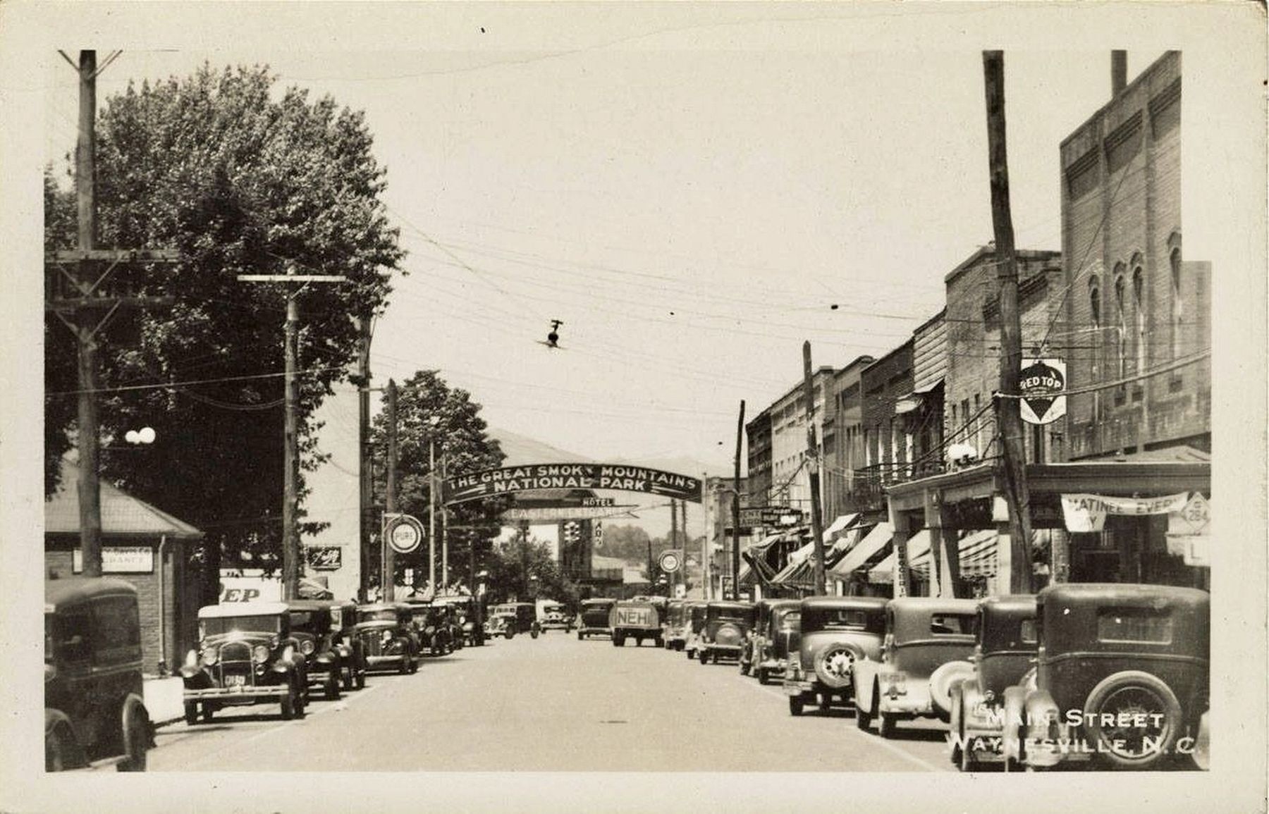
courtesy of Wilson Library, University of North Carolina at Chapel Hill, circa 1928
3. Main Street, Waynesville, N.C. - showing the Great Smokey Mountains gateway arch
Credits. This page was last revised on November 27, 2024. It was originally submitted on November 27, 2024, by Mark Parker of Hickory, North Carolina. This page has been viewed 242 times since then and 24 times this year. Photos: 1, 2. submitted on November 27, 2024, by Mark Parker of Hickory, North Carolina. 3. submitted on November 27, 2024. • Andrew Ruppenstein was the editor who published this page.
