Burkittsville in Jefferson in Frederick County, Maryland — The American Northeast (Mid-Atlantic)
The Shafer Farm
South Mountain Battlefield

Photographed by William Pope, October 14, 2024
1. The Shafer Farm Marker
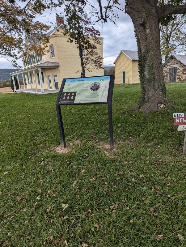
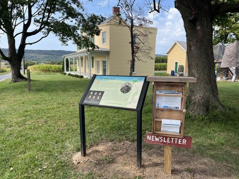
What is today known as the Shafer Farm was part of a 298-parcel of land known as "The Forest of Needwood" in the late 18th century. The house was built by John Garrott III in the early 1830s. In addition to several generations of the Garrott family, the property was occupied by over a dozen enslaved African Americans who worked in the home and fields. By the 1850s, the Garrotts rented the property to Martin Shafer who lived in the house and ran the farmstead.
During the Civil War, the Shafer Farm served as Union General William B. Franklin's headquarters. Soon after they set camp, General Franklin ordered his troops west to defend South Mountain.
After the Civil War, the Shafers continued to live on the property where they operated a wagon shop and blacksmith shop along Gapland Road leading into Burkittsville. They finally purchased the parcel in 1889, four decades after moving onto the land. The Schafer family owned the property until 2016, when it was given to the Burkittsville Preservation Association, Inc. Today, the Shafer Farm includes the original home, a detached kitchen/workshop, smokehouse, well, shed,
this page online
Metal Detecting Prohibited
(caption) Maryland Department of Transportation archaeologists surveyed the farm and found artifacts reflecting 19th-century farm life as well as occupation by Union troops. Some of the artifacts found included Minie balls (pictured here) a harness buckle, and horseshoes.
Erected by Maryland Department of Transportation.
Topics. This historical marker is listed in these topic lists: African Americans • Agriculture • Industry & Commerce • War, US Civil.
Location. 39° 22.916′ N, 77° 36.795′ W. Marker is in Jefferson, Maryland, in Frederick County. It is in Burkittsville. It is at the intersection of Gapland Road and Catholic Church Road, on the right when traveling west on Gapland Road. Touch for map. Marker is at or near this postal address: 1606 Gapland Road, Burkittsville MD 21718, United States of America. Touch for directions.

Regionally, this marker is in the Washington Metropolitan Area and in Central Maryland. It is also in the American Mid-Atlantic. Globally, it is in North America, the Western Hemisphere,
Photographed by William Pope, October 14, 2024
2. The Shafer Farm Marker
Other nearby markers. At least 8 other markers are within 2 miles of this marker, measured as the crow flies: The Hamilton Willard Shafer Farm (a few steps from this marker); a different marker also named Burkittsville (approx. 1.2 miles away); Cobbled Stagecoach Stop (approx. 1.2 miles away); The Arnold Farm (approx. 1.4 miles away); Forest of Needwood (approx. 1.6 miles away); “Sealed With Their Lives” (approx. 1.9 miles away); Chew’s Ashby Artillery (approx. 1.9 miles away); Burkittsville: Henry Burkitt’s Town (approx. 1.9 miles away).
Other markers no longer nearby. Burkittsville (was approx. 1.2 miles away but has been replaced with another marker now near it); Confederate Forces (was approx. 1.6 miles away but has been confirmed missing).

Photographed by William Pope, October 14, 2024
3. The Shafer Farm Marker
Photographed by Adam Margolis, September 20, 2025
4. The Shafer Farm Marker
Credits. This page was last revised on May 14, 2026. It was originally submitted on November 30, 2024, by William Pope of Marietta, Pennsylvania. This page has been viewed 467 times since then and 109 times this year. Photos: 1, 2, 3. submitted on November 30, 2024, by William Pope of Marietta, Pennsylvania. 4. submitted on May 13, 2026, by Adam Margolis of Mission Viejo, California. • Bernard Fisher was the editor who published this page.
