Indian Head Park in Cook County, Illinois — The American Midwest (Great Lakes)
Sacajawea (Boat Launcher)
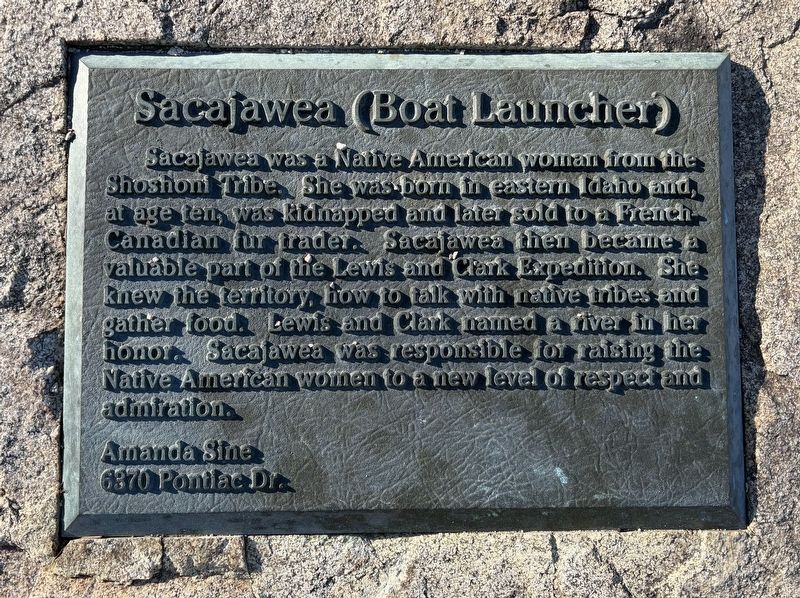
Photographed by Sean P. Flynn, December 5, 2024
1. Sacajawea (Boat Launcher) Marker
Erected by Amanda Sine.
Topics and series. This historical marker is listed in these topic lists: Exploration • Indigenous Peoples and Communities • Waterways & Vessels • Women. In addition, it is included in the Lewis & Clark Expedition series list.
Location. 41° 46.494′ N, 87° 54.341′ W. Marker is in Indian Head Park, Illinois, in Cook County. It is on Blackhawk Trail near Keokuk Road, on the right when traveling east. The marker is near the east entrance into Sacajawea Park. Touch for map. Marker is in this post office area: La Grange IL 60525, United States of America. Touch for directions.

Regionally,
this page online
Other nearby markers. At least 8 other markers are within 2 miles of this marker, measured as the crow flies: Last Camp Site of the Potawatomie Indians in Cook County (approx. half a mile away); Bruno F. Shustek (approx. 1.2 miles away); This was "Countryside" (approx. 1.8 miles away); Hinsdale Central High School First Night Game (approx. 1.8 miles away); 1925 Erie "Type B" Steam Shovel (approx. 1.8 miles away); Burr Ridge Veterans Memorial (approx. 1.9 miles away); Memorial Park (approx. 2 miles away); Specialist John R. Sullivan (approx. 2 miles away).
More about this marker. The intersection of Plainfield Road and Interstate 294 (the Tri-State Tollway) is near the park, just beyond Keokuk Road.
Also see . . . Sacagawea. Wikipedia entry (Submitted on February 8, 2025, by Larry Gertner of New York, New York.)
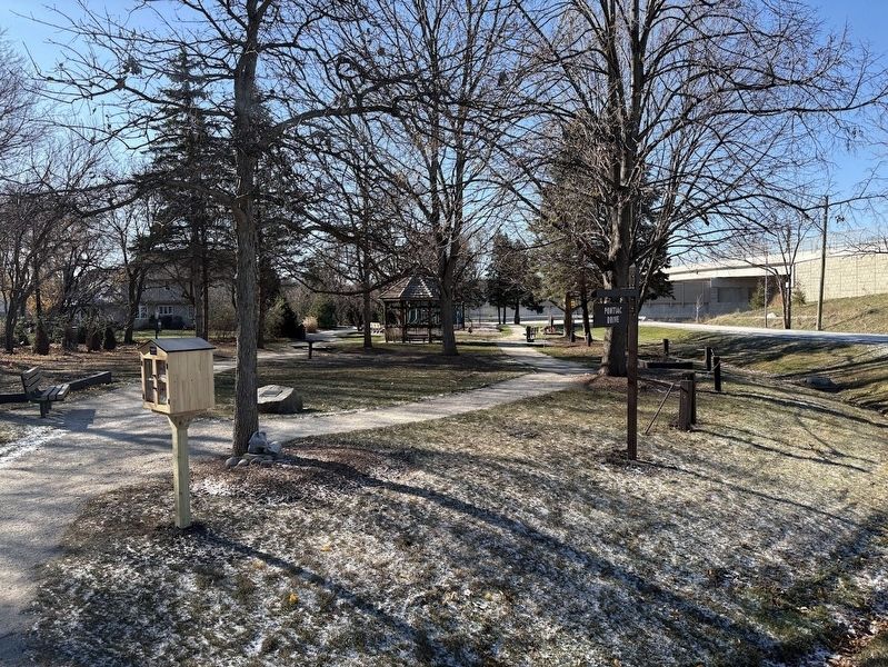
Photographed by Sean P. Flynn, December 5, 2024
2. Sacajawea Park
The marker is on a boulder where the two paths diverge.
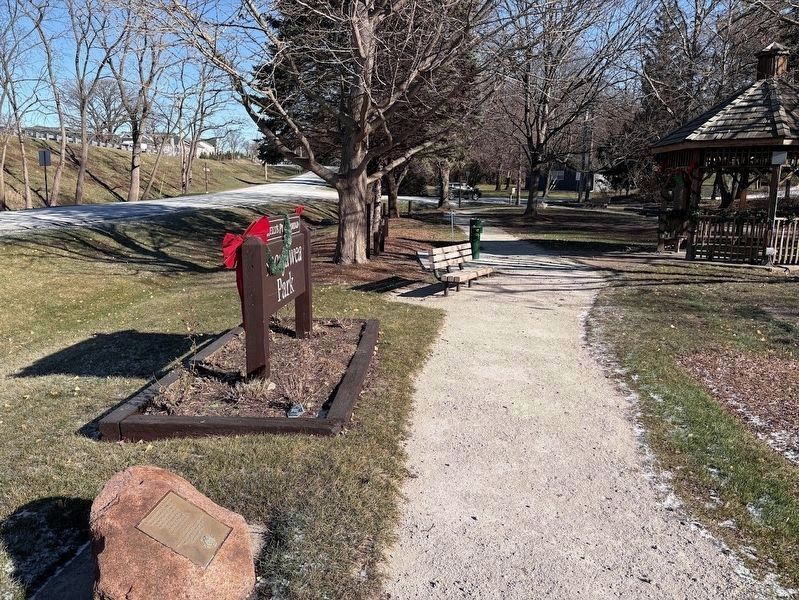
Photographed by Sean P. Flynn, December 5, 2024
3. Sacajawea Park
Village of Indian Head website entry:
The Sacajawea marker can be seen in the distance. Plainfield Road is on the left side, it rises to the rear of this photo over the nearby Tri-State Tollway (I-294).
Click for more information.
The Sacajawea marker can be seen in the distance. Plainfield Road is on the left side, it rises to the rear of this photo over the nearby Tri-State Tollway (I-294).
Click for more information.
Credits. This page was last revised on August 23, 2026. It was originally submitted on December 5, 2024, by Sean P. Flynn of Oak Park, Illinois. This page has been viewed 269 times since then and 24 times this year. Photos: 1, 2, 3. submitted on December 5, 2024, by Sean P. Flynn of Oak Park, Illinois.
