Historical Gauen Cemetery
Mary Fanny (Soffe), 1831-1873
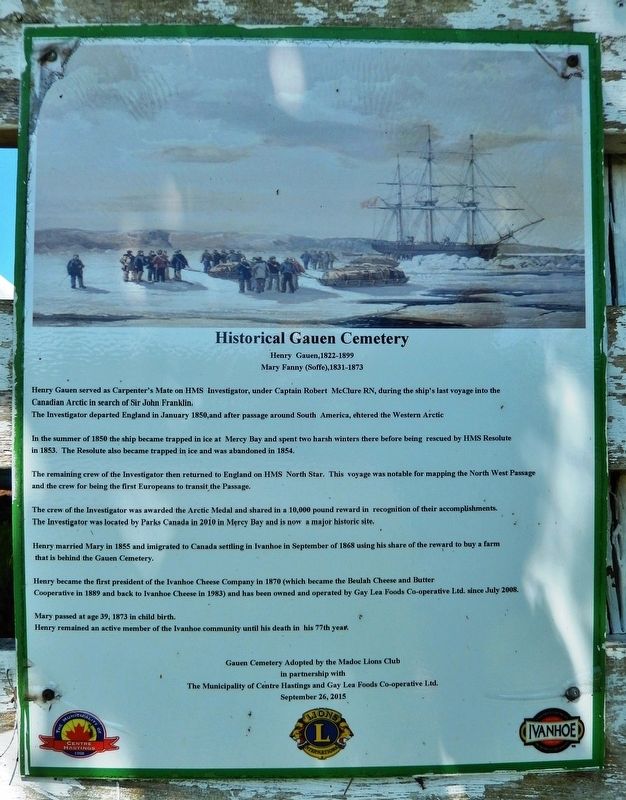
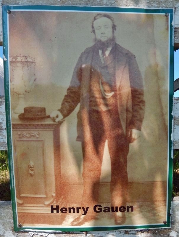
Henry Gauen served as Carpenter's Mate on HMS Investigator, under Captain Robert McClure RN, during the ship's last voyage into the Canadian Arctic in search of Sir John Franklin. The Investigator departed England in January 1850, and after passage around South America, entered the Western Arctic.
In the summer of 1850 the ship became trapped in ice at Mercy Bay and spent two harsh winters there before being rescued by HMS Resolute in 1853. The Resolute also became trapped in ice and was abandoned in 1854.
The remaining crew of the Investigator then returned to England on HMS North Star. This voyage was notable for mapping the North West Passage and the crew for being the first Europeans to transit the Passage.
The crew of the Investigator was awarded the Arctic Medal and shared in a 10,000 pound reward in recognition of their accomplishments. The Investigator was located by Parks Canada in 2010 in Mercy Bay and is now a major historic site.
Henry married Mary in 1855 and immigrated to Canada settling in Ivanhoe in September of 1868 using his share of the reward to buy
this page online
Henry became the first president of the Ivanhoe Cheese Company in 1870 (which became the Beulah Cheese and Butter Cooperative in 1889 and back to Ivanhoe Cheese in 1983) and has been owned and operated by Gay Lea Foods Co-operative Ltd. since July 2008.
Mary passed at age 39, 1873 in childbirth. Henry remained an active member of the Ivanhoe community until his death in his 77th year.
in partnership with
The Municipality of Centre Hastings and Gay Lea Foods Co-operative Ltd.
September 26, 2015
Topics. This historical marker is listed in these topic lists: Cemeteries & Burial Sites • Exploration • Industry & Commerce • Waterways & Vessels. A significant historical month for this entry is January 1850.
Location. 44° 24.006′ N, 77° 28.233′ W. Marker is in Ivanhoe, Ontario, in Hastings County. It is on Provincial Highway 62 half a kilometer north of Slab Street, on the left when traveling north. The marker and cemetery are located beside the barn and pasture on the west side of the highway. Touch for map. Marker is at or near this postal address: 11449

Regionally, this marker is in Eastern Ontario and specifically in Southeastern Ontario. It is also in Central Canada. Globally, it is in North America, on the Great Lakes, in the Western Hemisphere, in the Western World, and in the Anglosphere. Historically, it finds itself in what was once a British colony, the Viceroyalty of New France, the Haudenosaunee (Iroquois) Confederacy, and Rupert’s Land.
Other nearby markers. At least 8 other markers are within 13 kilometers of this marker, measured as the crow flies: Stewart Kerby (approx. half a kilometer away); Thomas Emo Fleming (approx. half a kilometer away); War Memorial (approx. half a kilometer away); Centennial of Confederation (approx. 11.2 kilometers away); John Weir Foote, V.C. 1904-1988 (approx. 11.8 kilometers away); Battle of Vimy Ridge 100th Anniversary / 385th Army Cadet Corps (approx. 11.8 kilometers away); War Memorial Cenotaph (approx. 11.8 kilometers away); The Founding of Madoc (approx. 11.8 kilometers away).
Also see . . .
1. Henry Gauen (1822-1899) (Find A Grave).

(Gauen Cemetery, Ivanhoe, Hastings County, Ontario, Canada)(Submitted on December 8, 2024, by Cosmos Mariner of Cape Canaveral, Florida.)
He was in the McClure Arctic Expedition 1850-1854.
2. McClure Arctic Expedition (Wikipedia).
Excerpt: The expedition discovered the first known Northwest Passage, in the geographical sense, which was the Prince of Wales Strait. On 21 October 1850, Captain McClure embarked on a seven-man sledge trip north-east to confirm his observations of a Northwest Passage. McClure provided that confirmation upon his return on 31 October, having seen an unblocked strait to the distant Melville Island from a 600-foot peak on Banks Island. The entry placed in the ship's log read:(Submitted on December 8, 2024, by Cosmos Mariner of Cape Canaveral, Florida.)"October 31st, the Captain returned at 8.30. A.M., and at 11.30. A.M., the remainder of the parting, having, upon the 26th instant, ascertained that the waters we are now in communicate with those of Barrow Strait, the north-eastern limit being in latitude 73°31′, N. longitude 114°39′, W. thus establishing the existence of a NORTH-WEST PASSAGE between the Atlantic and Pacific Oceans."
3. HMS Investigator (1848) (Wikipedia).

1822-1899
McClure Arctic Expedition
1850-1854
Excerpt: HMS Investigator was a merchant ship purchased in 1848 to search for Sir John Franklin's ill-fated Northwest Passage expedition. She made two voyages to the Arctic and had to be abandoned in 1853, after becoming trapped in the pack ice.(Submitted on December 8, 2024, by Cosmos Mariner of Cape Canaveral, Florida.)In July 2010, a team of Parks Canada scientists, archaeologists, and surveyors began searching for the sunken wreck of the Investigator in Mercy Bay at the northern tip of Aulavik National Park. The team arrived on Banks Island in the Beaufort Sea on 22 July and began a sonar scan of the area three days later, based on the original Royal Navy records of the position of the ship when it was abandoned. Its remains were quickly discovered, 150 m off the north shore of Banks Island, with the deck of the ship about 8 m below the surface. According to a superintendent with Parks Canada, the ship was found “sitting upright in silt; the three masts have been removed, probably by ice.” Her hull lies partially buried in silt and the cold Arctic water has prevented the outer deck from deteriorating quickly. There are no plans to raise the ship's remains.
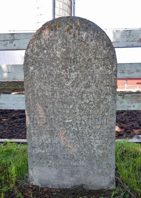
1834-1873
Wife of
Henry Gauen

Credits. This page was last revised on December 8, 2024. It was originally submitted on December 8, 2024, by Cosmos Mariner of Cape Canaveral, Florida. This page has been viewed 365 times since then and 142 times this year. Photos: 1, 2, 3, 4, 5, 6. submitted on December 8, 2024, by Cosmos Mariner of Cape Canaveral, Florida.
