
Agua Dulce in Los Angeles County, California — The American West (Pacific Coastal)
European Contact & the Spanish Era
The Late 1700s and Early 1800s
| — | Vasquez Rocks | — |
Photographed by Craig Baker, December 9, 2024
1. European Contact Marker
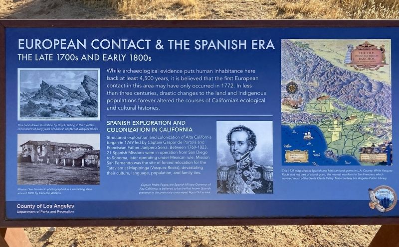
While archaeological evidence puts human inhabitance here back at least 4,500 years, it is believed that the first European contact in this area may have only occurred in 1772. In less than three centuries, drastic changes to the land and Indigenous populations forever altered the courses of California's ecological and cultural histories.
Spanish Exploration and Colonization in California
Structured exploration and colonization of Alta California began in 1769 led by Captain Gaspar de Portolá and Franciscan Father Junípero Serra. Between 1769 - 1823, 21 Spanish Missions were in operation from San Diego to Sonoma, later operating under Mexican rule. Mission San Fernando was the site of forced relocation for the Tataviam at Mapipinga (Vasquez Rocks), devastating their culture, language, population, and family ties.
photo captions:
· This hand-drawn illustration by Lloyd Harting in the 1960s is reminiscent of early years of Spanish contact at Vasquez Rocks.
· Mission San Fernando photographed in a crumbling state around 1880 by Carleton Watkins.
· Captain Pedro Fages,
this page online
· This 1937 map depicts Spanish and Mexican land grants in L.A. County. While Vasquez Rocks was not part of a land grant, the nearest was Rancho San Francisco which covered much of the Santa Clarita Valley. Map courtesy Los Angeles Public Library.
Erected 2024 by County of Los Angeles Department of Parks and Recreation.
Topics. This historical marker is listed in these topic lists: Exploration • Hispanic Americans • Indigenous Peoples and Communities • Settlements & Settlers. A significant historical year for this entry is 1772.
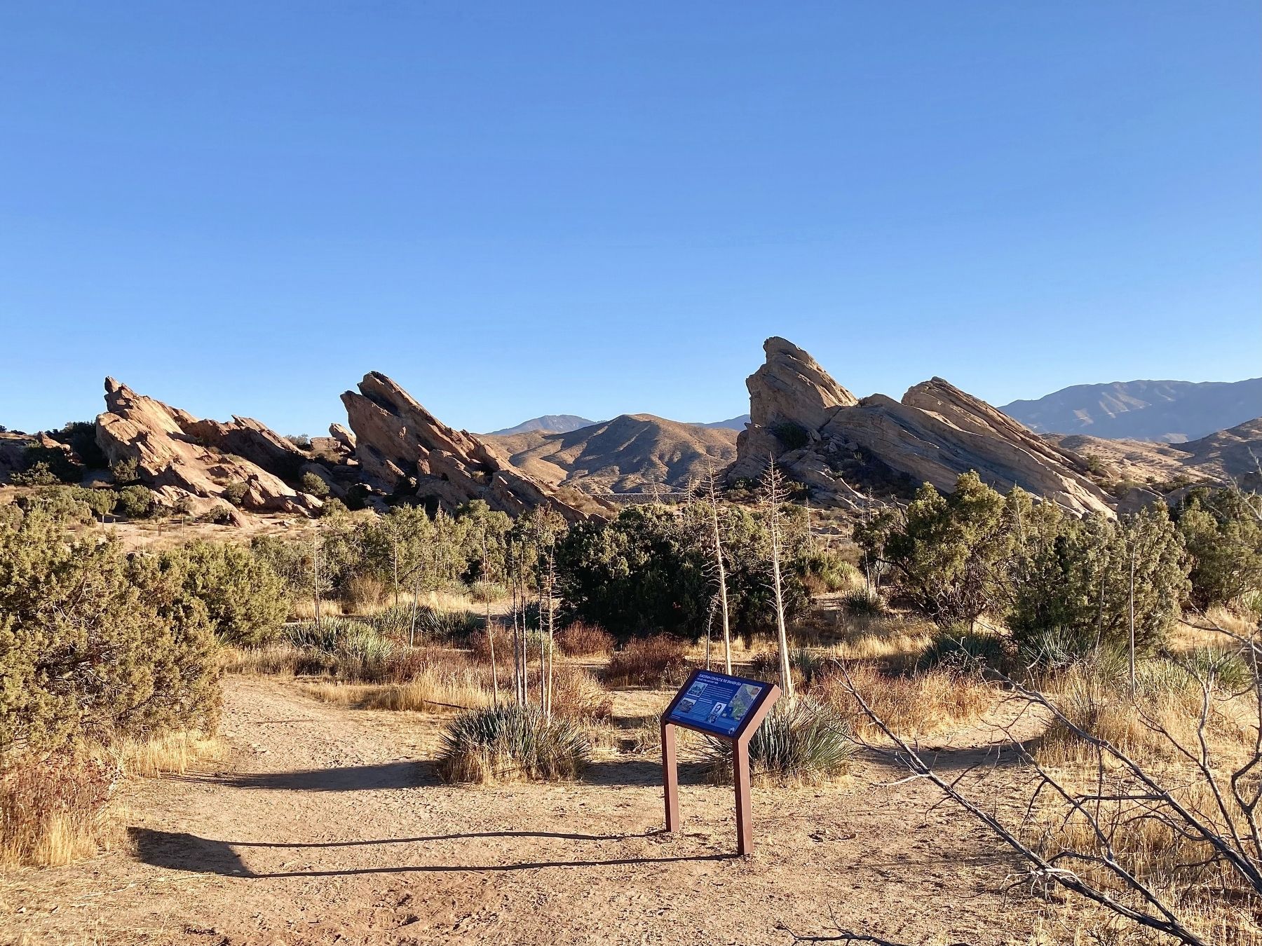
Location. 34° 29.294′ N, 118° 18.987′ W. Marker is in Agua Dulce, California, in Los Angeles County. It can be reached from Escondido Canyon Road half a mile east of Agua Dulce Canyon Road, on the right when traveling east. Located in Vazquez Rocks Natural Area, on the Pacific Crest Trail/Homestead Trail. Touch for map. Marker is at or near this postal address: 10700 Escondido Canyon Rd, Santa Clarita CA 91390, United States of America.

Photographed by Craig Baker, December 9, 2024
2. Marker Detail - Mission San Fernando

Regionally, this marker is in Greater Los Angeles and in the Transverse Ranges. It is also on the American Pacific Coast. Globally, it is in North America, on the Ring of Fire, in the Pacific Rim, in the Western Hemisphere, in the Western World, and in the Anglosphere. Historically, it finds itself in what was once New Spain and also Mexico’s Alta California.
Other nearby markers. At least 11 other markers are within walking distance of this marker: The Mexican & Early American Eras (about 400 feet away, measured in a direct line); Land and Industry (about 800 feet away); How Do We Know What We Know? (approx. 0.2 miles away); Pacific Crest Trail (approx. 0.2 miles away); "Devil’s Punchbowl Wildlife" Mural (approx. ¼ mile away); Toney Residence (approx. ¼ mile away); The Village of Mapipinga (approx. ¼ mile away); The Krieg-Toney Family (approx. 0.4 miles away); The Castle of Vasquez Rocks (approx. 0.4 miles away); Vasquez Rocks Becomes a Park (approx. 0.4 miles away); The Asher Family (approx. half a mile away). Touch for a list and map of all markers in Agua Dulce.

Photographed by Craig Baker, December 9, 2024
3. Marker Detail - Land Grants Map
Photographed by Craig Baker, December 9, 2024
4. European Contact Marker
Credits. This page was last revised on January 17, 2026. It was originally submitted on December 9, 2024, by Craig Baker of Sylmar, California. This page has been viewed 492 times since then and 19 times this year. Photos: 1, 2, 3, 4. submitted on December 9, 2024, by Craig Baker of Sylmar, California.
