
Agua Dulce in Los Angeles County, California — The American West (Pacific Coastal)
Vasquez Rocks Becomes a Park
Photographed by Craig Baker, December 9, 2024
1. Vasquez Rocks Becomes a Park
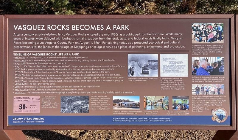
After a century as privately-held land, Vasquez Rocks entered the mid-1960s as a public park for the first time. While many years of interest were delayed with budget shortfalls, support from the local, state, and federal levels finally led to Vasquez Rocks becoming a Los Angeles County Park on August 1, 1964. Functioning today as a protected ecological and cultural preservation site, the lands of the village of Mapipinga once again serve as a place of gathering, enjoyment, and protection.
Timeline of Vasquez Rocks' Life as a Park
• Pre-1950: LA County Parks (LA Co.) showed interest in acquiring the Rocks.
• Early 1960s: LA Co. entered negotiations with landowners (including primary holders, the Toney family).
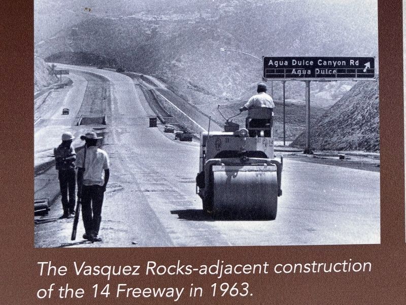
• Aug. 1963: The new 14 Freeway opens next to the park.
• Aug. 1. 1964: Vasquez Rocks becomes a park when LA Co. began a lease-to-purchase agreement with the Toneys.
• 1965: Park improvements were funded by visitor admission, filming permits, and camping reservations.
• 1970-71: Most of the Asher family's scenic "Triple-A" Ranch was purchased and added to the park.
• 1960s-70s:
this page online
• 1992: The Vasquez Rocks Nature Center Associates volunteer group organized support for an Interpretive Center.
• Early 1990s: The park grew nature-based educational opportunities and began the animal ambassador program.
• 2000-2010s: The park grew to 945 acres.
• 2009: The Interpretive Center project moves forward to collaboration and physical work.
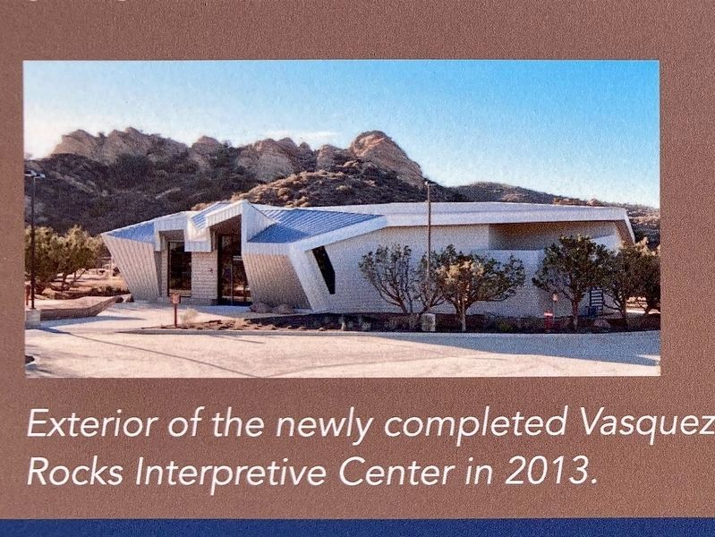
• May 30, 2013: Grand Opening & Dedication of the Interpretive Center.
• 2021-2023: The Vasquez Rocks Interpretive Signage & Wayfinding Project (park-wide mapping and signage improvements).
photo captions:
· The Vasquez Rocks-adjacent construction of the 14 Freeway in 1963.
· Correspondence between the LA County Park Director and Real Estate section in July 1964, marking the Board of Supervisors' approval for the lease-to-purchase agreement of the Toney property.
· This 1996 "Riders in the Sky" concert image shows many of the early volunteers with the Vasquez Rocks Nature Center Associates who were pivotal in the efforts of building an
Photographed by Craig Baker, December 9, 2024
2. Marker Detail - 14 Freeway
· Jeff Asher, Jr. (whose family owned a ranch at the Rocks from 1934-1971) was overjoyed at the dedication of the Center in May, 2013.
· Singers representing the Fernandeño Tataviam Band of Mission Indians at the "Day at the Rocks" community event in 2022. Left to Right: Tribal Vice President Mark Villaseñor, Noli Ortega, Tomiear Ortega, Tribal President Rudy Ortega Jr, and Council of Elders Chair Dennis Garcia.
· The park continued to be popular with 14,000 tickets sold from March to May of 1965. Left: an original ticket.
· This 1963 aerial survey photograph, saken roughly to the East, shows newly forming Vasquez Rocks Park. Escondido Canyon Road is visible winding along the left side of the photograph.
· Exterior of the newly completed Vasquez Rocks Interpretive Center in 2013.
· The striking interior of the new Center.
· The first history lecture held in the Interpretive Center in 2014.
Images courtesy LA County Parks & Recreation, Leon Worden, Patricia Brewer, Atelier Ten, Hunt Design, and Los Angeles Public Library's Valley Times Collection.
Erected 2024
Photographed by Craig Baker, December 9, 2024
3. Marker Detail - Interpretive Center
Topics. This historical marker is listed in these topic lists: Natural Features • Parks & Recreational Areas.
Location. 34° 29.035′ N, 118° 18.663′ W. Marker is in Agua Dulce, California, in Los Angeles County. It can be reached from Escondido Canyon Road half a mile east of Agua Dulce Canyon Road, on the right when traveling east. Located in Vazquez Rocks Natural Area. It is on the Homestead Trail/Juniper Meadow Walking Loop, beyond the last dirt parking lot. Touch for map. Marker is at or near this postal address: 10700 Escondido Canyon Rd, Santa Clarita CA 91390, United States of America. Touch for directions.

Regionally, this marker is in Greater Los Angeles and in the Transverse Ranges. It is also on the American Pacific Coast. Globally, it is in North America, on the Ring of Fire, in the Pacific Rim, in the Western Hemisphere, in the Western World, and in the Anglosphere. Historically, it finds itself in what was once New Spain and also Mexico’s Alta California.
Other nearby markers. At least 11
Photographed by Craig Baker, December 9, 2024
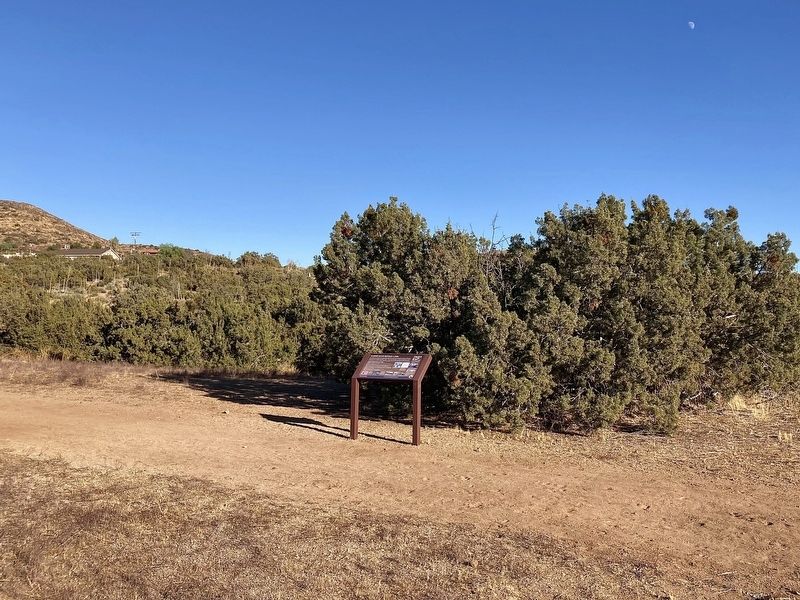
4. Vasquez Rocks Marker
Additional commentary.
1. Vasquez Rocks
Ten years before I photographed this interpretive sign, I attended the first history lecture in the new Interpretive Center in 2014. Thirty years earlier, I flew my hang glider over Vazquez Rocks during a flight from Sylmar to Palmdale. Twenty years before that, I often climbed on Vasquez Rocks as a child when my family would visit the new park.
I saw a flying saucer land on the Rocks in an episode of The Outer
Photographed by Craig Baker, December 9, 2024
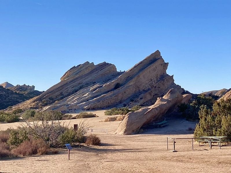
5. Vasquez Rocks
Notice the two people standing in the notch at top.
— Submitted December 10, 2024, by Craig Baker of Sylmar, California.
Photographed by Craig Baker, December 16, 2024
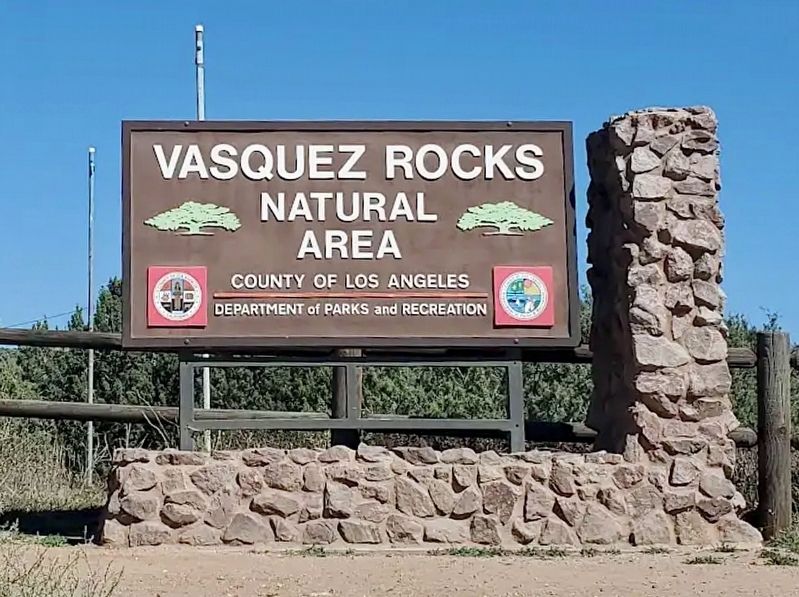
6. Vasquez Rocks Entrance
Credits. This page was last revised on January 2, 2025. It was originally submitted on December 10, 2024, by Craig Baker of Sylmar, California. This page has been viewed 315 times since then and 33 times this year. Photos: 1, 2, 3, 4, 5. submitted on December 10, 2024, by Craig Baker of Sylmar, California. 6. submitted on January 2, 2025, by Craig Baker of Sylmar, California.
