
Statesville in Iredell County, North Carolina — The American South (South Atlantic)
Fort Dobbs
Photographed by Mark Parker, December 14, 2024
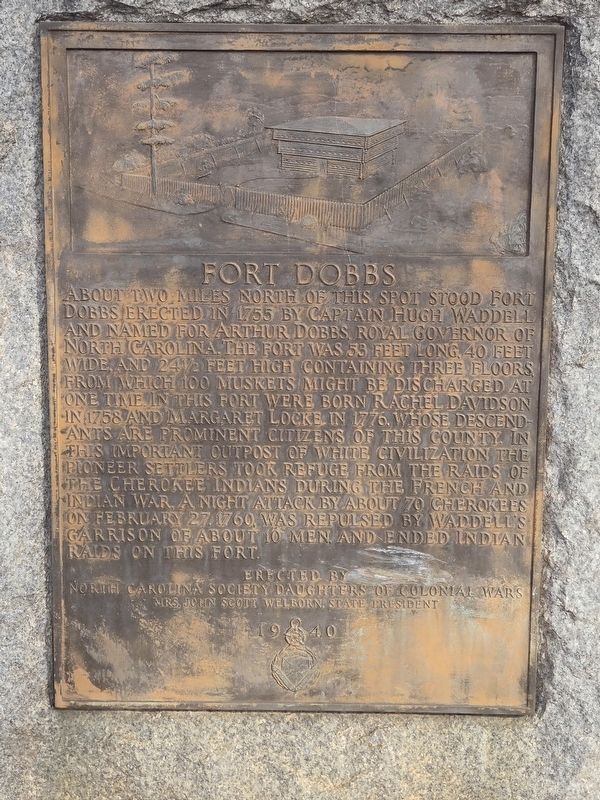
1. Fort Dobbs Marker
About two miles north of this spot stood Fort Dobbs erected in 1755 by Captain Hugh Waddell and named for Arthur Dobbs, royal governor of North Carolina. The fort was 53 feet long, 40 feet wide and 24½ feet high containing three floors, from which 100 muskets might be discharged at one time. In this fort were born Rachel Davidson in 1758 and Margaret Locke in 1776, whose descendants are prominent citizens of this county. In this important outpost of white civilization the pioneer settlers took refuge from the raids of the Cherokee Indians during the French and Indian war. A night attack by about 70 Cherokees on February 27, 1760, was repulsed by Waddell's garrison of about 10 men, and ended Indian raids on this fort.
Erected by North Carolina Society Daughters of Colonial Wars
Mrs. John Scott Welborn, State President
Erected 1940 by North Carolina Society Daughters of Colonial Wars.
Topics and series. This historical marker is listed in these topic lists: Colonial Era • Forts and Castles • Settlements & Settlers • War, French and Indian. In addition, it is included in the Daughters of Colonial Wars
this page online
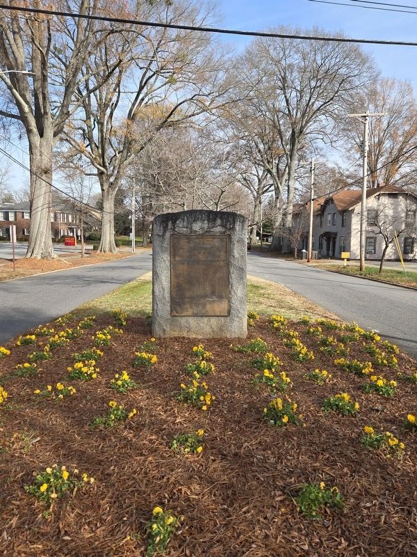
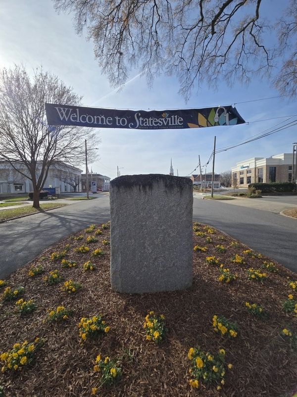
Location. 35° 47.135′ N, 80° 53.119′ W. Marker is in Statesville, North Carolina, in Iredell County. It is on East Broad Street east of North Tradd Street (U.S. 21/64), in the median. Touch for map. Marker is at or near this postal address: 221 E Broad St, Statesville NC 28677, United States of America. Touch for directions.

Regionally, this marker is in North Carolina’s Piedmont. It is also in the American South and specifically in the Upper South. Globally, it is in North America, the Western Hemisphere, the Western World, and the Anglosphere. Historically, it finds itself in what was once the territory of the Mississippian Culture, one of the original Thirteen Colonies, one of the Confederate States of America, and the Antebellum South.
Other nearby markers. At least 8 other markers are within walking distance of this marker: Carolina Motor Company (about 500 feet away, measured in a direct line); Stoneman's Raid (about 600 feet away); Sloan's Hardware Store (approx. 0.2 miles away); Polk Gray Drug Store (approx. 0.2 miles away); Sammy the Fire Dog (approx.
Photographed by Mark Parker, December 14, 2024
2. Fort Dobbs Marker looking east on East Broad Street
Photographed by Mark Parker, December 14, 2024
3. Fort Dobbs Marker looking west on East Broad St. near Tradd Street
Credits. This page was last revised on July 4, 2026. It was originally submitted on December 14, 2024, by Mark Parker of Hickory, North Carolina. This page has been viewed 281 times since then and 20 times this year. Photos: 1, 2, 3. submitted on December 14, 2024, by Mark Parker of Hickory, North Carolina. • Bernard Fisher was the editor who published this page.
