Coldwater
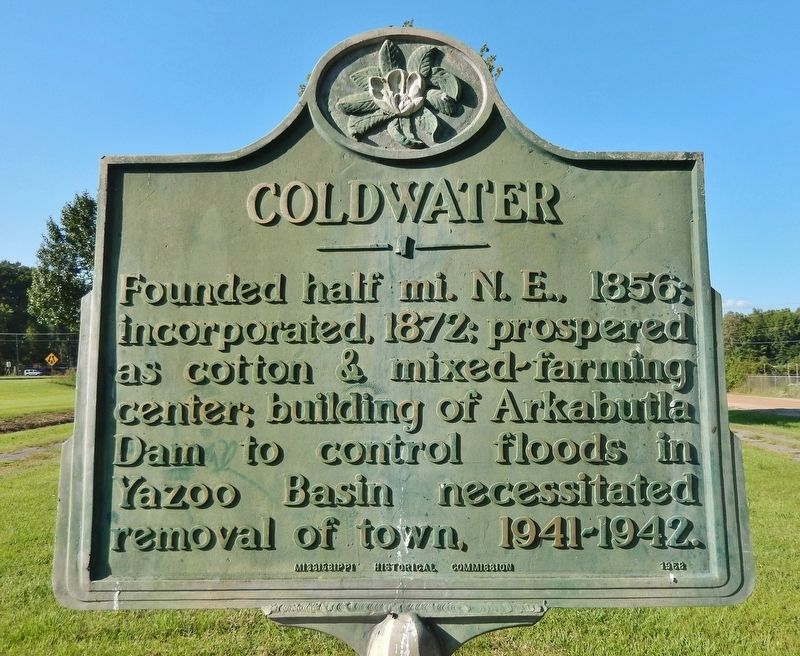
Founded half mi. N. E., 1856; incorporated, 1872; prospered as cotton & mixed-farming center; building of Arkabutla Dam to control floods in Yazoo Basin necessitated removal of town, 1941-1942.
Erected 1958 by Mississippi Historical Commission.
Topics and series. This historical marker is listed in these topic lists: Agriculture • Settlements & Settlers • Waterways & Vessels. In addition, it is included in the Mississippi State Historical Marker Program series list. A significant historical year for this entry is 1856.
Location. 34° 41.565′ N, 89° 58.697′ W. Marker is in Coldwater, Mississippi, in Tate County. It is on U.S. 51 just north of North Street, on the right when traveling north. The marker is located in the small community park between US Highway 51 and Red Oak Drive. Touch for map. Marker is in this post office area: Coldwater MS 38618, United States of America. Touch for directions.

Regionally, this marker is in Greater Memphis. It is also in the American South, specifically in the Deep South, and in the Mississippi Delta. Globally, it is in North America, a Gulf of Mexico state, the Western
this page online
Other nearby markers. At least 8 other markers are within 6 miles of this marker, measured as the crow flies: Tate County Blues: Coldwater (approx. 0.3 miles away); Senatobia (approx. 5.2 miles away); 305 West Main Street (approx. 5.2 miles away); Tate County Courthouse (approx. 5.3 miles away); O.B. McClinton (approx. 5.3 miles away); Sid Hemphill (approx. 5.3 miles away); Tate County World War I Memorial (approx. 5.6 miles away); Bethesda Cemetery (approx. 5.6 miles away).
Also see . . .
1. History of Coldwater/Arkabutla.
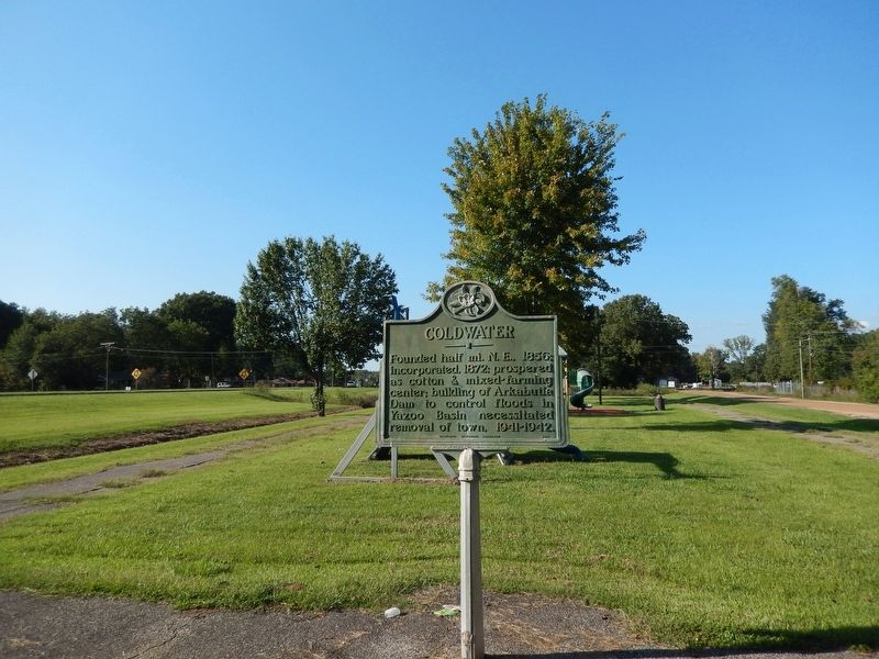
(by Mark Wanner) Excerpt: It began as the village of Elm Grove in 1856, and eventually grew as a railroad community, becoming officially incorporated in 1872. It began to grow due to the influx of settlers from Virginia, the Carolinas, Alabama, and others. Coldwater did face periodic river flooding before the 1940’s. Then, in 1942, the Arkabutla lake and dam project was built, and the(Submitted on December 16, 2024, by Cosmos Mariner of Cape Canaveral, Florida.)town was moved, with the help of the US government, to a location one and a half miles south of the original.Photographed by Cosmos Mariner, September 17, 20242. Coldwater MarkerLooking north; US Highway 51 is visible in the far-left background.
2. Coldwater: A Struggling Town Celebrates its Legacy.
Excerpt: Although Senatobia was the county seat, the early town prospered, with a number of businesses and a hotel. In the 1920s, a local man named Hoyt Wooten founded the Wooten Radio Electric Company in Coldwater and successfully applied for one of the earliest radio broadcast licenses in the Mid-South.(Submitted on December 16, 2024, by Cosmos Mariner of Cape Canaveral, Florida.)But Coldwater’s prosperity would not last. During the 1930s, with massive unemployment coupled with unprecedented natural disasters, including droughts and dust storms in the midwest, and floods in the South, the government began massive public works projects, many of which were river dams to create large reservoirs. These would both prevent flooding and provide sources for lower cost electric power, and Mississippi, lagging behind in electricity and suffering from frequent flooding, was a priority spot for large man-make lakes. One of these, Arkabutla, was planned by the Corps
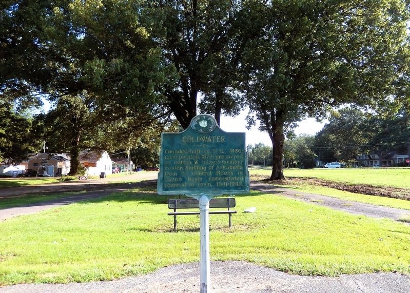
of Engineers near Coldwater, and it soon became clear that the townsite would be flooded by the resulting lake. The town and its streets and buildings would have to be abandoned.Photographed by Cosmos Mariner, September 17, 20243. Coldwater MarkerLooking south; Red Oak Drive (dirt road) is visible in the left background.The United States government therefore built the current town of Coldwater several miles to the south of the previous town, hiring a city planner from Memphis to design it, using the latest principles of city planning.
Credits. This page was last revised on December 16, 2024. It was originally submitted on December 15, 2024, by Cosmos Mariner of Cape Canaveral, Florida. This page has been viewed 265 times since then and 51 times this year. Photos: 1, 2, 3. submitted on December 16, 2024, by Cosmos Mariner of Cape Canaveral, Florida.
