Byram Township in Sussex County, New Jersey — The American Northeast (Mid-Atlantic)
Cat Swamp Hijacking and Murder
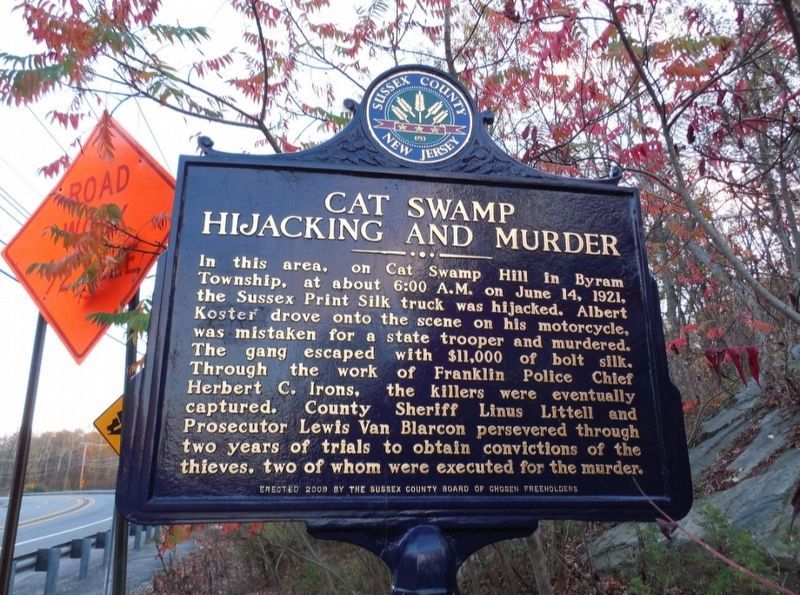
Photographed by Jimmy Emerson, October 17, 2014
1. Cat Swamp Hijacking and Murder Marker
Erected 2009 by Sussex County Board of Chosen Freeholders and Sussex County Historic Marker Committee.
Topics and series. This historical marker is listed in these topic lists: Notable Events • Roads & Vehicles. In addition, it is included in the New Jersey, Sussex County Board of Chosen Freeholders series list. A significant historical month for this entry is June 1812.
Location. 40° 56.554′ N, 74° 43.781′ W. Marker is in Byram Township, New Jersey, in Sussex County. It is on U.S. 206 at milepost 100.2 south of Byram Township, on the right when traveling south. Touch for map.
this page online

Regionally, this marker is in North Jersey and in the New York City Metropolitan Area. It is also in the American Northeast and in the Mid-Atlantic. Globally, it is in North America, the Western Hemisphere, the Western World, and the Anglosphere. Historically, it finds itself in what was once New Netherland and also one of the original Thirteen Colonies.
Other nearby markers. At least 8 other markers are within 3 miles of this marker, measured as the crow flies: Site Of Toll Gate (approx. 0.6 miles away); Sussex Branch Trail (approx. 1½ miles away); The Morris Canal Inclined Planes (approx. 2.3 miles away); Morris Canal (approx. 2.3 miles away); Canal Features at Waterloo (approx. 2.4 miles away); Waterloo: A Transportation Crossroads (approx. 2.4 miles away); The Morris Canal 1824-1924 (approx. 2.4 miles away); Let This Tablet Honor Them and All Who Live For the Good of the Community (approx. 2.4 miles away).
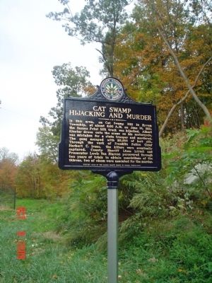
Photographed by Cheryl (Rome) Thom, October 9, 2009
2. Cat Swamp Hijacking and Murder Marker
Credits. This page was last revised on July 9, 2026. It was originally submitted on January 11, 2010, by Cheryl (Rome) Thom of Newton, New Jersey. This page has been viewed 2,951 times since then and 73 times this year. Photos: 1. submitted on June 27, 2026, by Jimmy Emerson of Dalton, Georgia. 2. submitted on January 11, 2010, by Cheryl (Rome) Thom of Newton, New Jersey. • Kevin W. was the editor who published this page.
