Near Alpine in Brewster County, Texas — The American South (West South Central)
Ancient Rocks Boundary
Photographed by Richard Denney, December 22, 2009
1. Ancient Rocks Boundary Marker
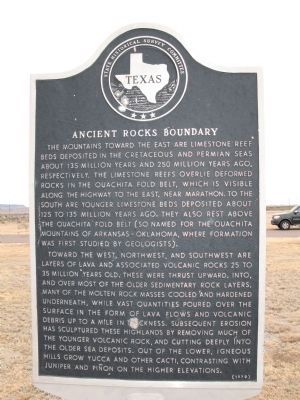
Toward the west, northwest, and southwest are layers of lava and associated volcanic rocks 25 to 35 million years old. These were thrust upward, into and over most of the older sedimentary rock layers. Many of the molten rock masses cooled and hardened underneath, while vast quantities poured over the surface in the form of lava flows and volcanic debris up to a mile in thickness. Subsequent erosion has sculptured these highlands by removing much of the younger volcanic rock, and cutting deeply into the older sea deposits. Out of the lower, igneous hills grow yucca and other cacti, contrasting
this page online
Erected 1970 by State Historical Survey Committee. (Marker Number 157.)
Topics. This historical marker is listed in this topic list: Natural Features.
Location. 30° 22.508′ N, 103° 32.019′ W. Marker is near Alpine, Texas, in Brewster County. It is at the intersection of U.S. 90 and U.S. 67, on the right when traveling west on U.S. 90. Touch for map. Marker is in this post office area: Alpine TX 79830, United States of America. Touch for directions.

Regionally, this marker is in Texas’ Big Bend and in the Trans-Pecos. It is also in the American Borderlands and in the Southwest. Globally, it is in North America, a Gulf of Mexico state, the Western Hemisphere, the Western World, and the Anglosphere. Historically, it finds itself in what was once New Spain, the Comanchería, the Republic of Texas, and one of the Confederate States of America.
Other nearby markers. At least 8 other markers are within 8 miles of this marker, measured as the crow flies: Brewster County (here, next to this marker); Ranching in the Big Bend
Photographed by Zacharias Beau T, circa December 10, 2012
2. Ancient Rocks Boundary Marker
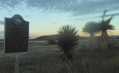
Glass Mountains, 6,531 ft. above sea-level with yucca stalks and spears at roadside park and markers.
Photographed by Richard Denney, December 22, 2009
3. Looking northwest towards Alpine
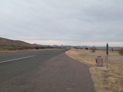
Marker is visible to right.
Photographed by Richard Denney, December 22, 2009
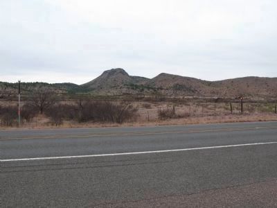
4. View across road from marker
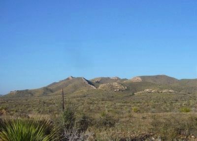
Photographed by Bill Kirchner, October 24, 2012
5. Ouachita Fold Belt
Photographed by Richard Denney, December 22, 2009
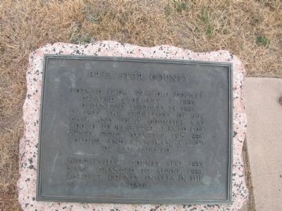
6. Brewster County Marker
This marker is co-located at this site, and is also visible in photo above, looking west to Alpine.
Credits. This page was last revised on September 17, 2019. It was originally submitted on January 11, 2010, by Richard Denney of Austin, Texas. This page has been viewed 1,411 times since then and 32 times this year. Photos: 1. submitted on January 11, 2010, by Richard Denney of Austin, Texas. 2. submitted on November 24, 2012, by Zacharias Beau T of Alpine, Texas. 3, 4. submitted on January 11, 2010, by Richard Denney of Austin, Texas. 5. submitted on November 7, 2012, by Bill Kirchner of Tucson, Arizona. 6. submitted on January 11, 2010, by Richard Denney of Austin, Texas. • Bill Pfingsten was the editor who published this page.
