Surry in Surry County, Virginia — The American South (Mid-Atlantic)
Community Life
Chippokes State Park
Photographed by Brandon D Cross
1. Community Life Marker
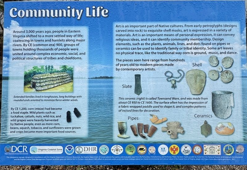
By CE 1,200, corn (maize) had become a food staple. Wild plants such as tuckahoe, cattails, nuts, wild rice, and wild grapes were heavily harvested by Native people, even as more corn, beans, squash, tobacco, and sunflowers were grown and crops became more important food sources.
Art is an important part of Native cultures. From early petroglyphs (designs carved into rock) to exquisite shell masks, art is expressed in a variety of materials. Art is an important means of personal expression, it can convey religious ideas, and it can identify community membership. Design elements, such as the plants, animals, lines, and dots found on pipes or ceramics can be used to identify family or tribal identity. Some art leaves no physical trace, like the traditional way corn is ground, music, and dance.
The pieces seen
this page online
(captions)
This ceramic (right) is called Townsend Ware, and was made from about CE 950 to CE 1600. The surface often has the impression of a fabric wrapped paddle used to shape it, and complex patterns of incised lines for decoration.
Erected by Chippokes State Park.
Topics. This historical marker is listed in these topic lists: Arts, Letters, Music • Indigenous Peoples and Communities • Parks & Recreational Areas.
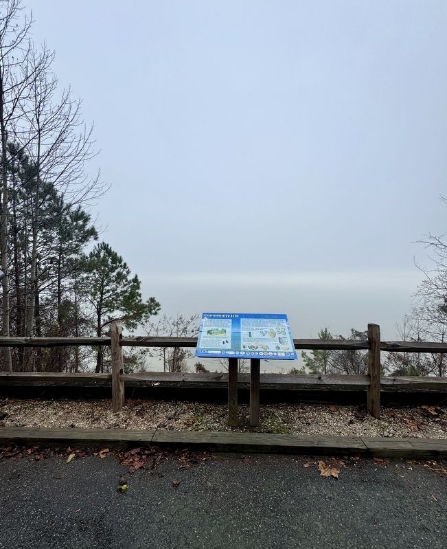
Location. 37° 8.771′ N, 76° 44.306′ W. Marker is in Surry, Virginia, in Surry County. It can be reached from Chippokes Park Road 0.1 miles south of Plantation Road, on the left when traveling north. The marker is located on the grounds of Chippokes State Park, behind the Visitor Center near the James River. Touch for map. Marker is at or near this postal address: 695 Chippokes Park Road, Surry VA 23883, United States of America. Touch for directions.

Regionally, this marker is in Coastal Virginia and in the Hampton Roads Metropolitan
Photographed by Brandon D Cross
2. Community Life Marker
Other nearby markers. At least 8 other markers are within walking distance of this marker: Eastern Virginia Indians (here, next to this marker); A Deep History (here, next to this marker); Working the Land (a few steps from this marker); Chippokes Plantation (approx. 0.7 miles away); The River House (approx. 0.7 miles away); Steam: The Great Connector (approx. ¾ mile away); A History of Silence (approx. 0.8 miles away); An Agricultural Legacy (approx. 0.9 miles away). Touch for a list and map of all markers in Surry.
Another marker is no longer nearby. Captain John Smith’s Adventures on the James (was a few steps from this marker but has been permanently removed).
Also see . . .
1. Surry County: Chippokes Plantation. (Submitted on December 27, 2024, by Brandon D Cross of Flagler Beach, Florida.)
2. Chippokes State Park. (Submitted on December 27, 2024, by Brandon D Cross of Flagler Beach, Florida.)
Credits. This page was last revised on December 31, 2024. It was originally submitted on December 27, 2024, by Brandon D Cross of Flagler Beach, Florida. This page has been viewed 130 times since then and 20 times this year. Photos: 1, 2. submitted on December 27, 2024, by Brandon D Cross of Flagler Beach, Florida. • Andrew Ruppenstein was the editor who published this page.
