
Walland in Blount County, Tennessee — The American South (East South Central)
Historic Bethlehem Church and Cemetery
Photographed by Darren Jefferson Clay, December 29, 2024
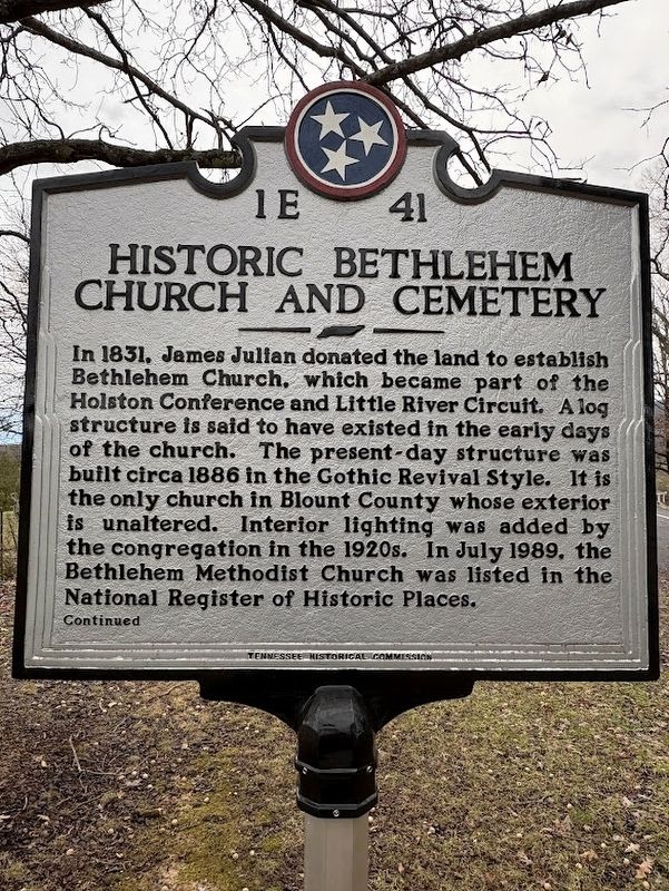
1. Historic Bethlehem Church and Cemetery marker
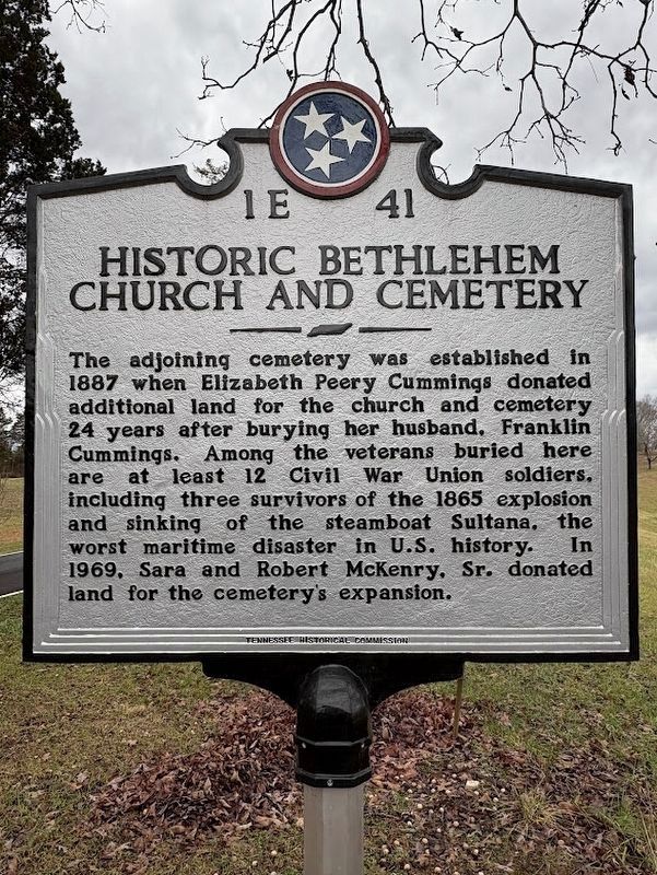
The adjoining cemetery was established in 1887 when Elizabeth Peery Cummings donated additional land for the church and cemetery 24 years after burying her husband, Franklin Cummings. Among the veterans buried here are at least 12 Civil War Union soldiers, including three survivors of the 1865 explosion and sinking of the steamboat Sultana, the worst maritime disaster in U.S. history. In 1969, Sara and Robert McKenry, Sr. donated land for the cemetery's expansion.
Erected 2024 by Tennessee Historical Commission. (Marker Number 1E 41.)
Topics. This historical marker is listed in these topic lists:
this page online
Location. 35° 47.291′ N, 83° 48.759′ W. Marker is in Walland, Tennessee, in Blount County. It is on Bethlehem Church Road, on the left when traveling south. Touch for map. Marker is at or near this postal address: 853 Bethlehem Church Rd, Walland TN 37886, United States of America. Touch for directions.

Regionally, this marker is in East Tennessee, in the Great Smoky Mountains, and in Greater Knoxville. It is also in the American South, specifically in the Upper South, in Appalachia, and specifically in Southern Appalachia. Globally, it is in North America, the Western Hemisphere, the Western World, and the Anglosphere. Historically, it finds itself in what was once the original Cherokee Nation, the territory of the Mississippian Culture, one of the Confederate States of America, the State of Franklin, and the Antebellum South.
Other nearby markers. At least 8 other markers are within 5 miles of this marker, measured as the crow flies: The Bethlehem Methodist Church (within
Photographed by Darren Jefferson Clay, December 29, 2024
2. Historic Bethlehem Church and Cemetery marker - Reverse Side
Photographed by Darren Jefferson Clay, December 29, 2024
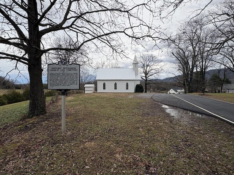
3. Historic Bethlehem Church and Cemetery marker
Photographed by Darren Jefferson Clay, December 29, 2024
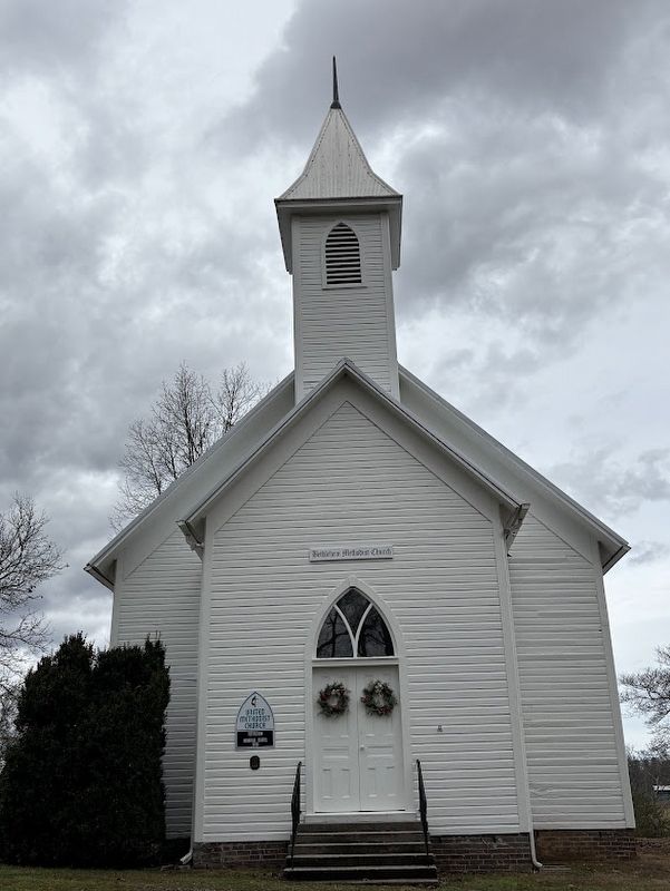
4. The front of the Historic Bethlehem Church
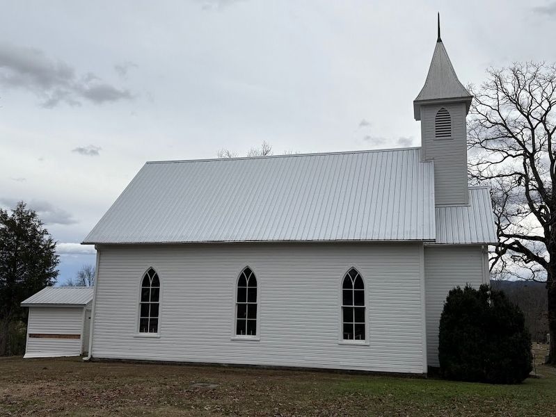
Photographed by Darren Jefferson Clay, December 29, 2024
5. The left side of the Historic Bethlehem Church
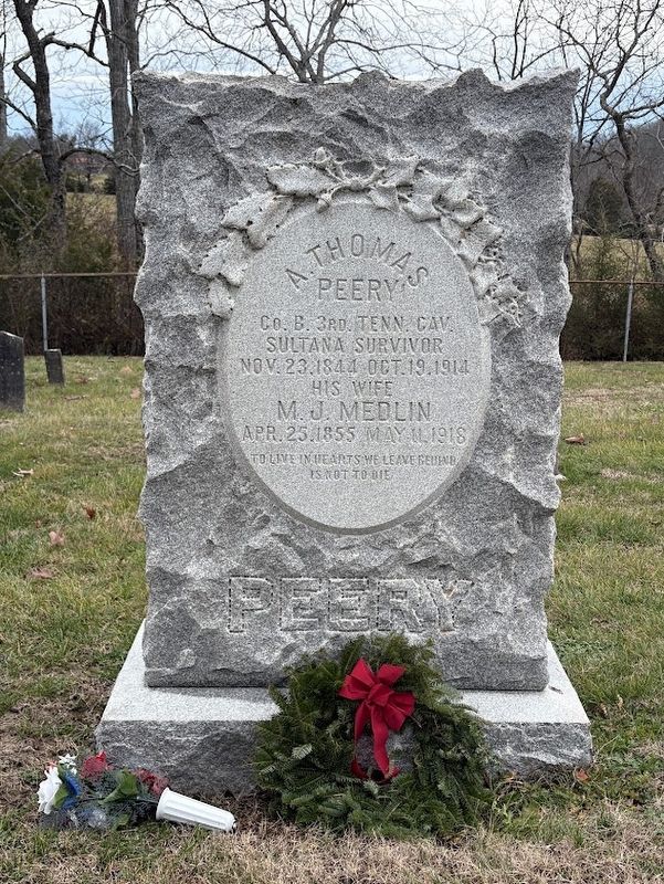
Photographed by Darren Jefferson Clay, December 29, 2024
6. The headstone of A. Thomas Peery who survived the explosion of the Sultana.
Credits. This page was last revised on July 20, 2025. It was originally submitted on December 29, 2024, by Darren Jefferson Clay of Duluth, Georgia. This page has been viewed 446 times since then and 144 times this year. Photos: 1, 2, 3, 4, 5, 6. submitted on December 29, 2024, by Darren Jefferson Clay of Duluth, Georgia. • James Hulse was the editor who published this page.
Editor’s want-list for this marker. A link to the National Register of Historic Places nomination form with a citation of the historical significance of the church. • Can you help?
