Near Lovelock in Churchill County, Nevada — The American Mountains (Southwest)
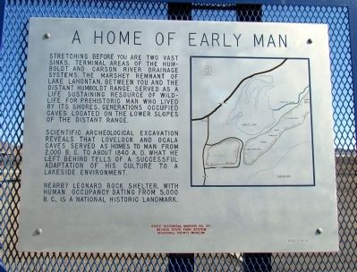
A Home of Early Man
Photographed by Duane Hall, July 5, 2013
1. A Home of Early Man Marker
Scientific archeological excavation reveals that Lovelock and Ocala caves served as homes to man from 2,000 B.C. to about 1840 A.D. What he left behind tells of a successful adaptation of his culture to a lakeside environment.
Nearby Leonard Rock Shelter, with human occupancy dating from 5,000 B.C., is a National Historic Landmark.
Erected 1971 by Nevada State Park System and Churchill County Museum Committee. (Marker Number 147.)
Topics. This historical marker is listed in these topic lists: Anthropology & Archaeology • Indigenous Peoples and Communities. A significant historical year for this entry is 1840.
Location. This marker has been replaced by another marker nearby. 39° 56.438′ N, 118° 44.971′ W. Marker is near Lovelock, Nevada, in Churchill County.
this page online

Regionally, this marker is in the Northern Nevada. It is also in the American Mountain West. Globally, it is in North America, the Western Hemisphere, the Western World, and the Anglosphere. Historically, it finds itself in what was once New Spain and also Mexico’s Alta California.
Other nearby markers. At least 7 other markers are within 14 miles of this location, measured as the crow flies: Traveling Through Hell (here, next to this marker); About Your Journey ... (here, next to this marker); People of the Humboldt (here, next to this marker); Forty Mile Desert (within shouting distance of this marker); Truckee Trail - Forty Mile Desert (approx. ¾ mile away); Truckee Trail - Forks of the Trail / H.R.R. 12 - Site of the Last Sulpherous Water on West Humboldt (approx. 3.4 miles away); California Trail - Granite Point / H.R.R-9 - West Branch of California Trail
Photographed by Duane Hall, July 5, 2013
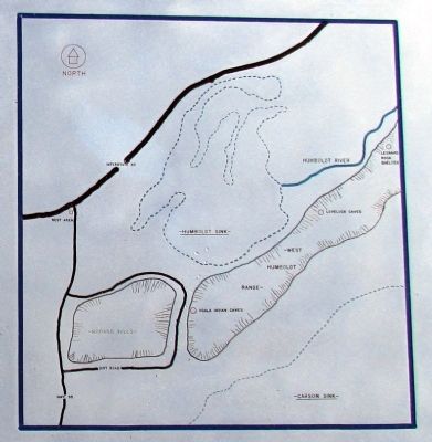
2. Close-up of Map on A Home of Early Man Marker
More about this marker. This marker has been replaced by People of the Humboldt.
Also see . . .
1. Lovelock Cave - Wikipedia Entry. (Submitted on August 6, 2013, by Duane Hall of Abilene, Texas.)
2. New Amended Text for Marker. The Nevada State Historic Preservation Office (SHPO) recently updated the text of the roughly 260 state historical markers in Nevada. The Nevada SHPO placed the amended text of each individual marker on its website and will change the actual markers in the field as funding allows. Major changes have been made to the content of this marker. The title of the marker has been changed to "Prehistoric Marsh Dwellers". The link will take you to the Nevada SHPO page for the marker with the amended text. (Submitted on October 25, 2013, by Duane Hall of Abilene, Texas.)
Photographed by Duane Hall, July 5, 2013
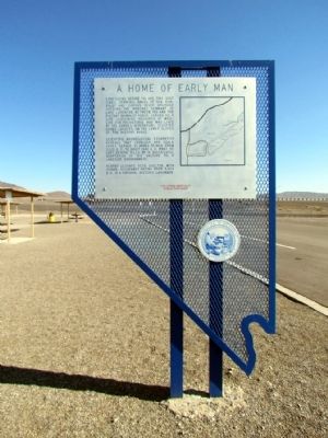
3. A Home of Early Man Marker
Photographed by Duane Hall, July 5, 2013
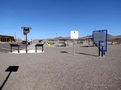
4. A Home of Early Man Marker
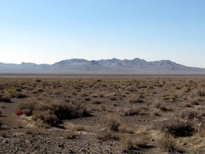
Photographed by Duane Hall, July 5, 2013
5. West Humboldt Range
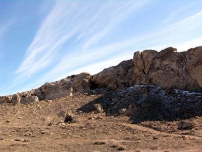
Photographed by Duane Hall, March 7, 2009
6. Lovelock Cave
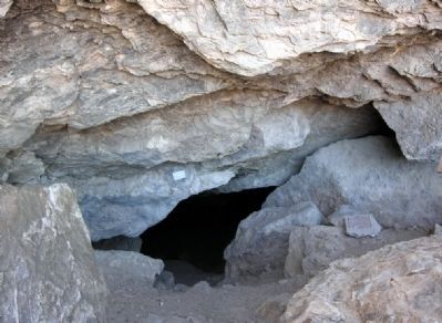
Photographed by Duane Hall, March 7, 2009
7. Entrance to Lovelock Cave
Credits. This page was last revised on February 2, 2025. It was originally submitted on August 6, 2013, by Duane Hall of Abilene, Texas. This page has been viewed 1,318 times since then and 53 times this year. Last updated on December 30, 2024, by Marc Belanger of Reno, Nevada. Photos: 1, 2, 3, 4, 5, 6, 7. submitted on August 6, 2013, by Duane Hall of Abilene, Texas. • J. Makali Bruton was the editor who published this page.
