Surry in Surry County, Virginia — The American South (Mid-Atlantic)
Smith’s Fort Plantation
Captain John Smith’s Adventures on the James
Photographed by Brandon D Cross
1. Smith’s Fort Plantation Marker
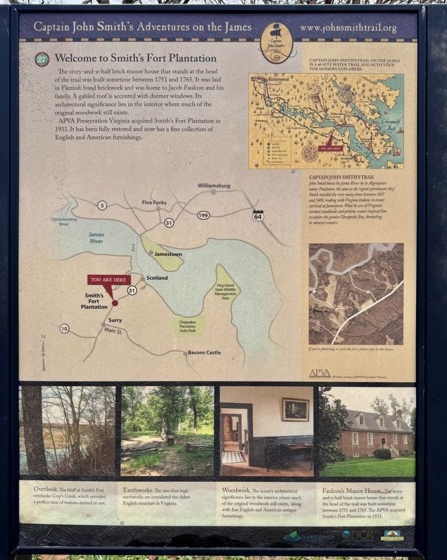
Welcome to Smith’s Fort Plantation
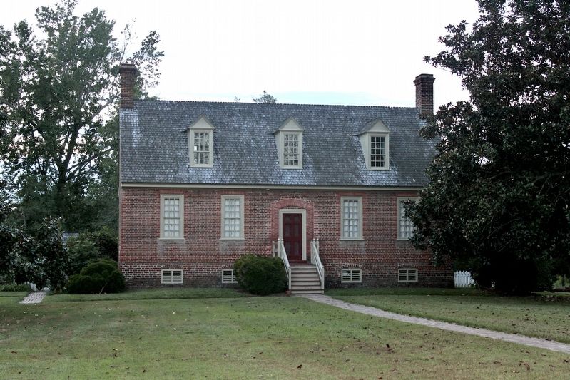
The story-and-a-half brick manor house that stands at the head of the trail was built sometime between 1751 and 1765. It was laid in Flemish bond brickwork and was home to Jacob Faulcon and his family. A gabled roof is accented with dormer windows. Its architectural significance lies in the interior where much of the original woodwork still exists.
APVA Preservation Virginia acquired Smith's Fort Plantation in 1933. It has been fully restored and now has a fine collection of English and American furnishings.
Captain John Smith’s Trail on the James is a 40-Site Water Trail and Auto Tour for modern Explores.
Captain John Smith’s Trail
John Smith knew the James River by its Algonquian name: Powhatan, the same as the region's paramount chief. Smith traveled the river many times between 1607 and 1609, trading with Virginia Indians to ensure survival at Jamestown. What he saw of Virginia's verdant woodlands and pristine waters inspired him to explore the greater Chesapeake Bay, chronicling its natural wonders.
(captions)
If you're planning to visit the fort, please stop in the house.
Overlook. The bluff at Smith's Fort overlooks Gray's Creek, which provided a perfect view of visitors-invited or not.
Earthworks. The two-foot high earthworks are considered the oldest English structure in Virginia.
Woodwork. The house's architectural significance lies in the interior where much of the original woodwork still exists, along with fine English and American antique furnishings.
Faulcon's Manor House. The story-and-a-half brick manor house that stands at the head of the trail was built sometime between 1751 and 1765. The APVA acquired Smith's Fort Plantation in 1933.
Erected by Captain
this page online
Topics. This historical marker is listed in these topic lists: Colonial Era • Indigenous Peoples and Communities • Settlements & Settlers. A significant historical year for this entry is 1751.
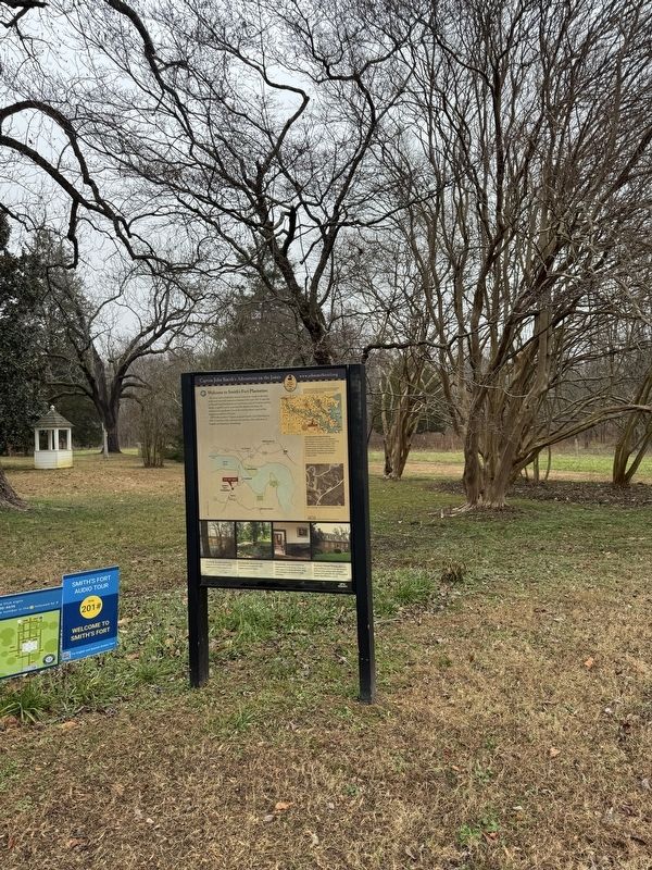
Location. 37° 9.829′ N, 76° 49.177′ W. Marker is in Surry, Virginia, in Surry County. It can be reached from Smith Fort Lane west of Rolfe Highway (Virginia Route 31), on the left when traveling north. The marker is located on the grounds of Smith’s Fort Plantation, near Faulcon’s Manor House. Touch for map. Marker is at or near this postal address: 217 Smith Fort Lane, Surry VA 23883, United States of America. Touch for directions.

Regionally, this marker is in Coastal Virginia and in the Hampton Roads Metropolitan Area. It is also in the American South, specifically in the Upper South, in the Tidewater, and on the Eastern Seaboard. Globally, it is in the North Atlantic Region, North America, the Western Hemisphere, the Western World, and the Anglosphere. Historically, it finds
Photographed by Brandon D Cross
2. Smith’s Fort Plantation Marker
Other nearby markers. At least 8 other markers are within 3 miles of this marker, measured as the crow flies: A different marker also named Smith’s Fort Plantation (approx. half a mile away); Smith’s Fort (approx. half a mile away); Capt. Jacob Faulcon, C.S.A. (approx. 2 miles away); Surry County War Memorial (approx. 2 miles away); Surry County Virginia (approx. 2 miles away); Chanco (approx. 2 miles away); a different marker also named Smith’s Fort Plantation (approx. 2.1 miles away); Surry County WWII Veterans Memorial (approx. 2.3 miles away). Touch for a list and map of all markers in Surry.
Another marker is no longer nearby. Surry County Confederate Monument (was approx. 2 miles away but has been permanently removed).
Photographed by WikiMedia Commons
3. Faulcon’s Manor House
Photographed by Brandon D Cross
4. Smith’s Fort Plantation, c. 1765 Sign
Credits. This page was last revised on January 1, 2025. It was originally submitted on December 31, 2024, by Brandon D Cross of Flagler Beach, Florida. This page has been viewed 189 times since then and 22 times this year. Photos: 1, 2, 3, 4. submitted on December 31, 2024, by Brandon D Cross of Flagler Beach, Florida. • Bernard Fisher was the editor who published this page.
